Facts
- What it is
- Mountain
- Height above sea level
- 2,288 m (7,507 ft)
- Prominence
- 113 m (371 ft)
- Range
- Adula Group
- Parent peak
- Torent Alto
- Country
- Switzerland
- Coordinates
- 46.278°N 9.062°E
- Source
- Wikidata, CC0
Peaks near Piz de Molinera
- Pizzo di Claro2,727 m · 2.1 km awayOn the map
- Camoghè2,226 m · 16 km awayOn the map
- Rheinwaldhorn3,402 m · 24 km awayOn the map
- Monte Tamaro1,962 m · 25 km awayOn the map
- Güferhorn3,379 m · 26 km awayOn the map
- Monte Verità321 m · 29 km awayOn the map
- Monte Brè925 m · 30 km awayOn the map
- Pizzo Campo Tencia3,072 m · 31 km awayOn the map
- Monte Lema1,624 m · 32 km awayOn the map
- Monte San Salvatore912 m · 35 km awayOn the map
Parent peak
The nearest higher peak its prominence is measured to.
- Torent Alto2,952 mOn the map
Highest in the Adula Group
- Rheinwaldhorn3,402 mOn the map
- Güferhorn3,379 mOn the map
- Vogelberg3,218 mOn the map
- Fanellhorn3,124 mOn the map
- Torent Alto2,952 mOn the map
- Pizzo del Ramulazz2,939 mOn the map
- Cima di Gana Bianca2,842 mOn the map
- Cima de Gagela2,805 mOn the map
- Piz de Molinera2,288 mOn the map
Highest mountains in Switzerland
- Dufourspitze4,634 mOn the map
- Dom4,546 mOn the map
- Lyskamm4,532 mOn the map
- Weisshorn4,505 mOn the map
- Matterhorn4,478 mOn the map
- Dent Blanche4,357 mOn the map
- Grand Combin4,309 mOn the map
- Finsteraarhorn4,274 mOn the map
- Zinalrothorn4,221 mOn the map
- Alphubel4,206 mOn the map
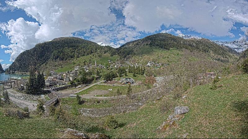
Webcams near Piz de Molinera


History around Piz de Molinera
Towns near Piz de Molinera
- Bellinzona10 km away
- Locarno23 km away
- Lugano31 km away
- Como52 km away
- Pallanza-Intra-Suna54 km away
- Lecco54 km away