Piz Vatgira
2,983 m9,787 ft
Mountain · Saint-Gotthard Massif · Switzerland
Piz Vatgira is a mountain of the Lepontine Alps and part of the extended Saint-Gotthard Massif, located south of Sedrun in the canton of Graubünden. The mountain lies between the valleys of Nalps and Medel, about halfway between Lai da Nalps and Lai da Sontga Maria.
From Wikipedia, CC BY-SA · Read the article
At the summit · forecast for 11:00 PM
-4 °CFog · wind 7 km/h from the N
 See it in 3D
Weather at the summit of Piz Vatgira, 2,983 m
- 11:00 PM-4 °CN 7 km/h–
- 2:00 AM-5 °CN 8 km/h–
- 5:00 AM-5 °CN 8 km/h–
- 8:00 AM-3 °CN 8 km/h–
- 11:00 AM1 °CN 9 km/h–
- 2:00 PM0 °CN 9 km/h–
- 5:00 PM-2 °CN 8 km/h–
- 8:00 PM-3 °CN 7 km/h–
| Day | Sky | High / low | Rain | Wind up to |
|---|---|---|---|---|
| Wed, Oct 28 | Mostly clear | 1 °C / -6 °C | – | 10 km/h |
| Thu, Oct 29 | Clear | 3 °C / -11 °C | – | 7 km/h |
| Fri, Oct 30 | Clear | 2 °C / -11 °C | – | 6 km/h |
| Sat, Oct 31 | Clear | 2 °C / -9 °C | – | 4 km/h |
| Sun, Nov 1 | Clear | 2 °C / -11 °C | – | 8 km/h |
| Mon, Nov 2 | Clear | -1 °C / -9 °C | – | 12 km/h |
| Tue, Nov 3 | Partly cloudy | -1 °C / -11 °C | – | 12 km/h |
Forecast by MET Norway (CC BY 4.0), updated 08:17 PM GMT+1. Times are local.
Facts
- What it is
- Mountain
- Height above sea level
- 2,983 m (9,787 ft)
- Prominence
- 157 m (515 ft)
- Isolation
- 1.3 km to higher ground
- Range
- Saint-Gotthard Massif
- Parent peak
- Piz Gannaretsch
- Country
- Switzerland
- Coordinates
- 46.606°N 8.771°E
- Source
- Wikidata, CC0
Piz Vatgira
Mountain in Switzerland
Piz Vatgira is a mountain of the Lepontine Alps and part of the extended Saint-Gotthard Massif, located south of Sedrun in the canton of Graubünden. The mountain lies between the valleys of Nalps and Medel, about halfway between Lai da Nalps and Lai da Sontga Maria. On its east side is a small glacier ending in the lake named Lai Verd.
From Wikipedia, CC BY-SA · Read the article
Peaks near Piz Vatgira
- Scopi3,190 m · 5.9 km awayOn the map
- Piz Medel3,210 m · 11 km awayOn the map
- Oberalpstock3,328 m · 15 km awayOn the map
- Rheinwaldhorn3,402 m · 24 km awayOn the map
- Witenwasserenstock3,085 m · 24 km awayOn the map
- Pizzo Rotondo3,192 m · 25 km awayOn the map
- Tödi3,612 m · 25 km awayOn the map
- Bifertenstock3,421 m · 26 km awayOn the map
- Dammastock3,630 m · 27 km awayOn the map
- Galenstock3,586 m · 27 km awayOn the map
Parent peak
The nearest higher peak its prominence is measured to.
- Piz Gannaretsch3,040 mOn the map
Highest in the Saint-Gotthard Massif
- Pizzo Rotondo3,192 mOn the map
- Piz Gannaretsch3,040 mOn the map
- Piz Vatgira2,983 mOn the map
- Pizzo del Sole2,773 mOn the map
- Monte Prosa2,737 mOn the map
- Pizzo Erra2,417 mOn the map
Highest mountains in Switzerland
- Dufourspitze4,634 mOn the map
- Dom4,546 mOn the map
- Lyskamm4,532 mOn the map
- Weisshorn4,505 mOn the map
- Matterhorn4,478 mOn the map
- Dent Blanche4,357 mOn the map
- Grand Combin4,309 mOn the map
- Finsteraarhorn4,274 mOn the map
- Zinalrothorn4,221 mOn the map
- Alphubel4,206 mOn the map
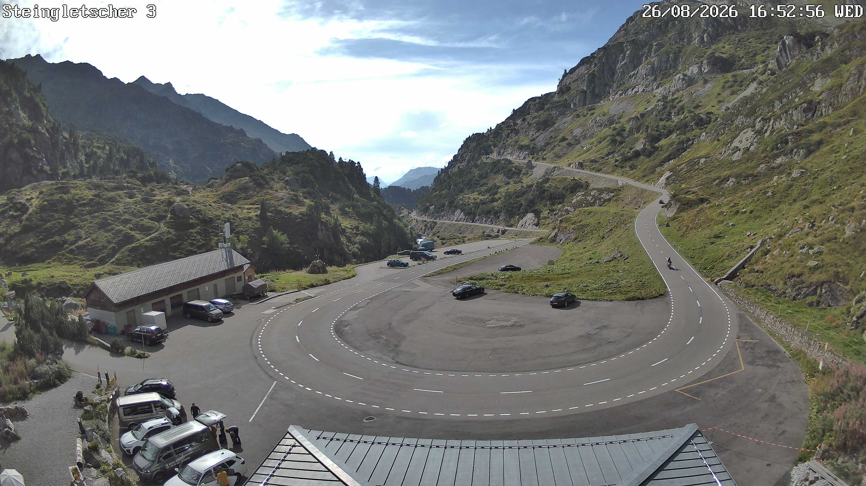
Webcams near Piz Vatgira

History around Piz Vatgira
Towns near Piz Vatgira
- Schwyz47 km away
- Locarno48 km away
- Bellinzona50 km away
- Einsiedeln58 km away
- Kriens60 km away
- Luzern61 km away