Mountains in China
Pottinger Peak
312 m1,024 ft
Mountain · China
Pottinger Peak is a mountain on the eastern side of Hong Kong Island. It is located south of Chai Wan and Siu Sai Wan and north of Big Wave Bay. Initially known as Ma Tong Peak, it was renamed Pottinger Peak after Henry Pottinger, the first Governor of Hong Kong. The peak is 312 m (1,024 ft) above sea level.
From Wikipedia, CC BY-SA · Read the article
At the summit · forecast for 9:00 PM
23 °CRain · wind 26 km/h from the E
 See it in 3D
Weather at the summit of Pottinger Peak, 312 m
- 9:00 PM23 °CE 26 km/h1 mm
- 12:00 AM22 °CE 30 km/h0.4 mm
- 3:00 AM23 °CE 38 km/h–
- 6:00 AM22 °CNE 41 km/h–
- 9:00 AM23 °CNE 40 km/h–
- 12:00 PM25 °CE 36 km/h–
- 3:00 PM25 °CE 33 km/h–
- 6:00 PM24 °CE 33 km/h–
| Day | Sky | High / low | Rain | Wind up to |
|---|---|---|---|---|
| Wed, Oct 28 | Clear | 25 °C / 22 °C | 0.4 mm | 42 km/h |
| Thu, Oct 29 | Clear | 25 °C / 22 °C | – | 36 km/h |
| Fri, Oct 30 | Clear | 27 °C / 21 °C | – | 20 km/h |
| Sat, Oct 31 | Partly cloudy | 25 °C / 23 °C | 0.8 mm | 20 km/h |
| Sun, Nov 1 | Mostly clear | 25 °C / 23 °C | 5.4 mm | 18 km/h |
| Mon, Nov 2 | Partly cloudy | 27 °C / 23 °C | 0.1 mm | 12 km/h |
| Tue, Nov 3 | Partly cloudy | 26 °C / 23 °C | 1 mm | 19 km/h |
Forecast by MET Norway (CC BY 4.0), updated 07:19 PM GMT+8. Times are local.
Facts
- What it is
- Mountain
- Height above sea level
- 312 m (1,024 ft)
- Country
- China
- Coordinates
- 22.250°N 114.250°E
- Source
- Wikidata, CC0
Peaks near Pottinger Peak
- Sai Wan Shan, Chai Wan197 m · 2.9 km awayOn the map
- Red Hill113 m · 3 km awayOn the map
- Mount Parker532 m · 3.9 km awayOn the map
- Devil's Peak222 m · 4.9 km awayOn the map
- Siu Ma Shan424 m · 5 km awayOn the map
- The Twins386 m · 5.1 km awayOn the map
- Violet Hill433 m · 5.1 km awayOn the map
- High Junk Peak344 m · 6.3 km awayOn the map
- Braemar Hill200 m · 6.4 km awayOn the map
- Miu Tsai Tun333 m · 6.4 km awayOn the map
Highest mountains in China
- Mount Everest8,849 mOn the map
- Lhotse8,516 mOn the map
- Makalu8,485 mOn the map
- Cho Oyu8,188 mOn the map
- Gasherbrum8,080 mOn the map
- Broad Peak8,051 mOn the map
- Gasherbrum II8,034 mOn the map
- Shishapangma8,027 mOn the map
- Gyachung Kang7,952 mOn the map
- Gasherbrum III7,946 mOn the map
Webcams near Pottinger Peak
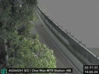 Island Eastern Corridor near Chai Wan MTR Station - Northbound2.1 km from the summit
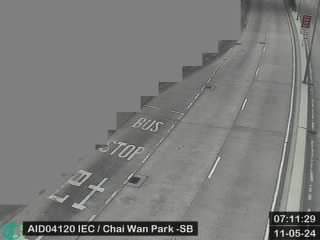 Island Eastern Corridor near Chai Wan Park - Southbound2.3 km from the summit
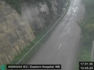 Island Eastern Corridor near Eastern Hospital - Northbound2.4 km from the summit
- Island Eastern Corridor near Eastern Hospital - Northbound [AID04202]2.4 km from the summit
History around Pottinger Peak
Towns near Pottinger Peak
- Siu Sai Wan Estate1.3 km away
- Shek O1.8 km away
- Heng Fa Chuen3.1 km away
- Yiu Tung Estate4.2 km away
- Aldrich Bay4.4 km away
- Sai Wan Ho4.7 km away