 See it in 3D
Facts
- What it is
- Mountain
- Height above sea level
- 3,345 m (10,974 ft)
- Prominence
- 387 m (1,270 ft)
- Isolation
- 2.6 km to higher ground
- Range
- Geigenkamm
- Parent peak
- Hohe Geige
- Country
- Austria
- First ascent
- 1858
- Coordinates
- 46.981°N 10.901°E
- Source
- Wikidata, CC0
Peaks near Puitkogel
- Wildspitze3,768 m · 11 km awayOn the map
- Similaun3,597 m · 24 km awayOn the map
- Weißkugel3,738 m · 24 km awayOn the map
- Parseierspitze3,036 m · 39 km awayOn the map
- Vorderseespitze2,889 m · 46 km awayOn the map
- Feuerspitze2,851 m · 47 km awayOn the map
- Wetterspitze2,895 m · 47 km awayOn the map
- Hochwanner2,744 m · 48 km awayOn the map
- Bergisel746 m · 48 km awayOn the map
- Nordkette2,637 m · 49 km awayOn the map
Parent peak
The nearest higher peak its prominence is measured to.
- Hohe Geige3,393 mOn the map
Peaks below Puitkogel
- Wassertalkogel3,252 mOn the map
Highest in the Geigenkamm
- Hohe Geige3,393 mOn the map
- Puitkogel3,345 mOn the map
- Luibiskogel3,112 mOn the map
Highest mountains in Austria
- Grossglockner3,798 mOn the map
- Wildspitze3,768 mOn the map
- Weißkugel3,738 mOn the map
- Großvenediger3,657 mOn the map
- Hintere Schwärze3,624 mOn the map
- Großes Wiesbachhorn3,564 mOn the map
- Ramolkogel3,549 mOn the map
- Schalfkogel3,537 mOn the map
- Watzespitze3,532 mOn the map
- Fineilspitze3,514 mOn the map
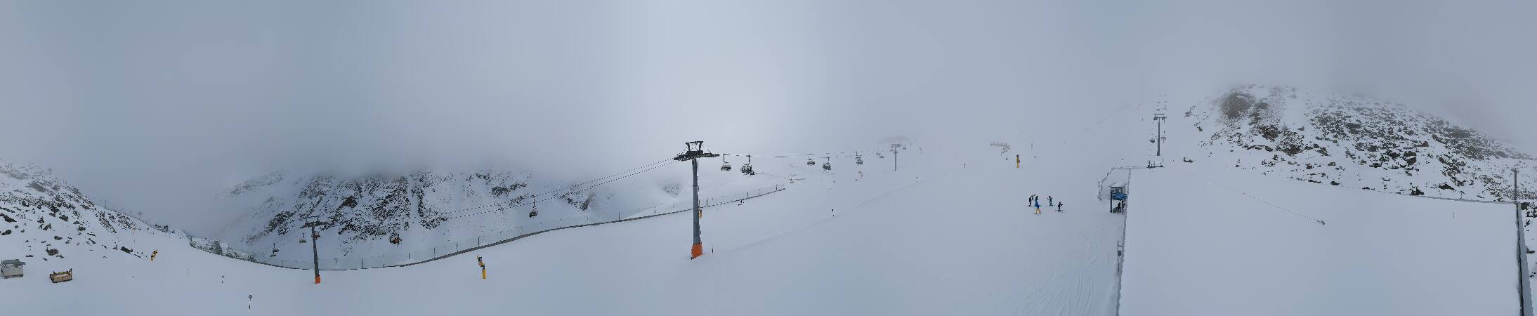
Webcams near Puitkogel


Towns near Puitkogel
- Telfs38 km away
- Merano40 km away
- Innsbruck49 km away
- Garmisch-Partenkirchen59 km away
- Bolzano64 km away
- Bressanone65 km away