Mountains in Austria
Rappoldkogel
1,928 m6,325 ft
Mountain · Stubalpe · Austria
Der Rappoldkogel ist ein 1928 m ü. A. hoher Berg in den Lavanttaler Alpen im österreichischen Bundesland Steiermark. Er bildet die höchste Erhebung der Stubalpe und ganzjährig ein beliebtes Tourenziel.
From German Wikipedia, CC BY-SA · Read the article
The highest point of Stubalpe
At the summit · forecast for 3:00 AM
-6 °CClear · wind 3 km/h from the SW
 See it in 3D
Weather at the summit of Rappoldkogel, 1,928 m
- 3:00 AM-6 °CSW 3 km/h–
- 6:00 AM-6 °CSW 2 km/h–
- 9:00 AM1 °CNE 3 km/h–
- 12:00 PM5 °CNE 5 km/h–
- 3:00 PM5 °CE 6 km/h–
- 6:00 PM-2 °CSE 4 km/h–
- 9:00 PM-4 °CS 3 km/h–
- 12:00 AM-5 °CSW 3 km/h–
| Day | Sky | High / low | Rain | Wind up to |
|---|---|---|---|---|
| Today | Clear | 6 °C / -6 °C | – | 7 km/h |
| Wed, Oct 28 | Cloudy | 10 °C / -5 °C | – | 15 km/h |
| Thu, Oct 29 | Cloudy | 4 °C / -1 °C | – | 12 km/h |
| Fri, Oct 30 | Clear | 4 °C / -5 °C | – | 4 km/h |
| Sat, Oct 31 | Clear | 5 °C / -7 °C | – | 4 km/h |
| Sun, Nov 1 | Mostly clear | 6 °C / -7 °C | – | 3 km/h |
| Mon, Nov 2 | Clear | 3 °C / -6 °C | – | 13 km/h |
Forecast by MET Norway (CC BY 4.0), updated 02:17 AM GMT+1. Times are local.
Facts
- What it is
- Mountain
- Height above sea level
- 1,928 m (6,325 ft)
- Isolation
- 3.8 km to higher ground
- Range
- Stubalpe
- Country
- Austria
- Highest point of
- Stubalpe
- Coordinates
- 47.084°N 14.883°E
- Source
- Wikidata, CC0
Peaks near Rappoldkogel
- Ameringkogel2,187 m · 5.9 km awayOn the map
- Lenzmoarkogel1,991 m · 20 km awayOn the map
- Zirbitzkogel2,396 m · 24 km awayOn the map
- Handalm1,853 m · 28 km awayOn the map
- Seckauer Zinken2,397 m · 31 km awayOn the map
- Ladinger Spitz2,079 m · 31 km awayOn the map
- Notberg1,049 m · 33 km awayOn the map
- Grosser Speikkogel2,140 m · 34 km awayOn the map
- Hochreichhart2,416 m · 35 km awayOn the map
- Frauenkogel561 m · 37 km awayOn the map
Highest in the Stubalpe
- Ameringkogel2,187 mOn the map
- Rappoldkogel1,928 mOn the map
- Wölkerkogel1,706 mOn the map
- Bundschuh1,423 mOn the map
- Kreuzeck1,297 mOn the map
- Franziskanerkogel713 mOn the map
- Kobererkogel606 mOn the map
Highest mountains in Austria
- Grossglockner3,798 mOn the map
- Wildspitze3,768 mOn the map
- Weißkugel3,738 mOn the map
- Großvenediger3,657 mOn the map
- Hintere Schwärze3,624 mOn the map
- Großes Wiesbachhorn3,564 mOn the map
- Ramolkogel3,549 mOn the map
- Schalfkogel3,537 mOn the map
- Watzespitze3,532 mOn the map
- Fineilspitze3,514 mOn the map
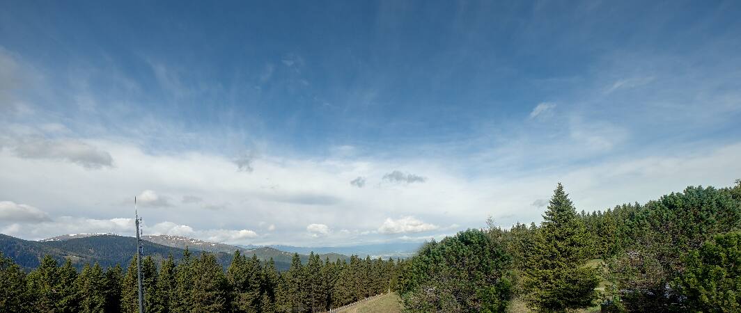
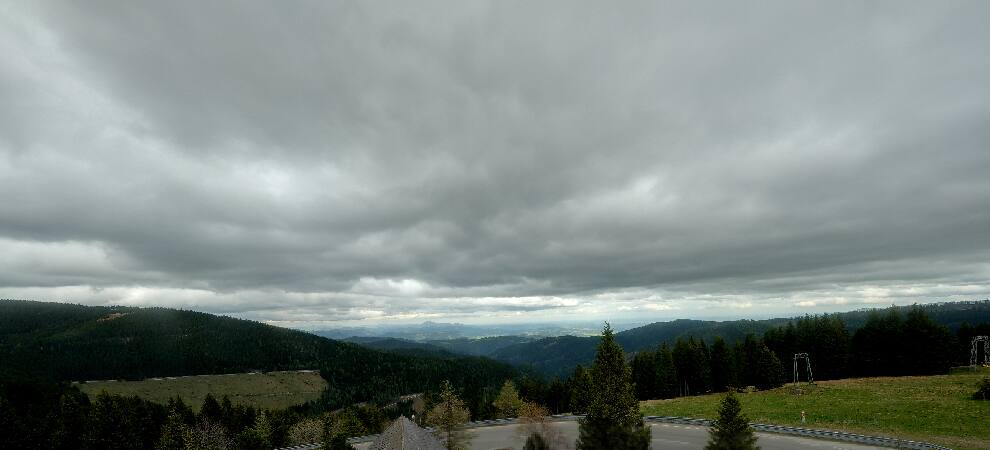
Webcams near Rappoldkogel

History around Rappoldkogel
- The 2017 Austrian Grand Prix is held2017
- The 1983 Austrian Grand Prix is held at the Österreichring, and is won by Alain Prost in a Renault1983
- The 1977 Austrian Grand Prix was held at the Österreichring in Spielberg, Styria, Austrian with Niki Lauda won in second place1977
- Jacky Ickx wins 1970 Austrian Grand Prix at the Österreichring1970
- Judenburg Mutiny1918
Towns near Rappoldkogel
- Wolfsberg27 km away
- Graz42 km away
- Klagenfurt am Wörthersee67 km away