Romariswandköpfe
3,511 m11,519 ft
Mountain · Glockner Group · Austria
Die Romariswandköpfe sind ein aus zwei Gipfeln bestehender Berg der Glocknergruppe im Westlichen Tauernhauptkamm, einem Gebirge der Zentralalpen.
From German Wikipedia, CC BY-SA · Read the article
At the summit · forecast for 12:00 AM
-6 °CClear · wind 5 km/h from the N
 See it in 3D
Weather at the summit of Romariswandköpfe, 3,511 m
- 12:00 AM-6 °CN 5 km/h–
- 3:00 AM-8 °CN 6 km/h–
- 6:00 AM-10 °CN 6 km/h–
- 9:00 AM-6 °CN 6 km/h–
- 12:00 PM-6 °CN 8 km/h0.7 mm
- 3:00 PM-6 °CN 7 km/h2 mm
- 6:00 PM-7 °CN 8 km/h2.9 mm
- 9:00 PM-7 °CN 9 km/h1.2 mm
| Day | Sky | High / low | Rain | Wind up to |
|---|---|---|---|---|
| Today | Light snow | -6 °C / -10 °C | 6.8 mm | 9 km/h |
| Thu, Oct 29 | Mostly clear | -8 °C / -16 °C | 0.6 mm | 8 km/h |
| Fri, Oct 30 | Clear | -7 °C / -15 °C | – | 7 km/h |
| Sat, Oct 31 | Clear | -7 °C / -15 °C | – | 4 km/h |
| Sun, Nov 1 | Clear | -9 °C / -15 °C | – | 9 km/h |
| Mon, Nov 2 | Light snow | -12 °C / -15 °C | 3.7 mm | 11 km/h |
| Tue, Nov 3 | Snow | -13 °C / -14 °C | 12.2 mm | 13 km/h |
Forecast by MET Norway (CC BY 4.0), updated 08:17 PM GMT+1. Times are local.
Facts
- What it is
- Mountain
- Height above sea level
- 3,511 m (11,519 ft)
- Prominence
- 85 m (279 ft)
- Isolation
- 1.4 km to higher ground
- Range
- Glockner Group
- Country
- Austria
- Coordinates
- 47.091°N 12.669°E
- Source
- Wikidata, CC0
Romariswandköpfe
Berg in der Glocknergruppe an der Grenze Kärnten / Tirol
Die Romariswandköpfe sind ein aus zwei Gipfeln bestehender Berg der Glocknergruppe im Westlichen Tauernhauptkamm, einem Gebirge der Zentralalpen. Daher werden die beiden Gipfel laut den offiziellen österreichischen staatlichen Karten und Veremssungsunterlagen Romariswandköpfe genannt, aber auch die Bezeichnung als Romariswandkopf ist in Gebrauch.
From German Wikipedia, CC BY-SA · Read the article
Peaks near Romariswandköpfe
- Glocknerwand3,721 m · 1.8 km awayOn the map
- Johannisberg3,453 m · 2.1 km awayOn the map
- Grossglockner3,798 m · 2.6 km awayOn the map
- Großer Muntanitz3,232 m · 6.4 km awayOn the map
- Großes Wiesbachhorn3,564 m · 9.8 km awayOn the map
- Kitzsteinhorn3,203 m · 11 km awayOn the map
- Hoher Tenn3,368 m · 12 km awayOn the map
- Petzeck3,283 m · 19 km awayOn the map
- Hocharn3,254 m · 20 km awayOn the map
- Rainerhorn3,559 m · 23 km awayOn the map
Highest in the Glockner Group
- Grossglockner3,798 mOn the map
- Großes Wiesbachhorn3,564 mOn the map
- Romariswandköpfe3,511 mOn the map
- Hoher Tenn3,368 mOn the map
- Fuscherkarkopf3,331 mOn the map
- Schwerteck3,247 mOn the map
- Hocheiser3,206 mOn the map
- Kitzsteinhorn3,203 mOn the map
Highest mountains in Austria
- Grossglockner3,798 mOn the map
- Wildspitze3,768 mOn the map
- Weißkugel3,738 mOn the map
- Großvenediger3,657 mOn the map
- Hintere Schwärze3,624 mOn the map
- Großes Wiesbachhorn3,564 mOn the map
- Ramolkogel3,549 mOn the map
- Schalfkogel3,537 mOn the map
- Watzespitze3,532 mOn the map
- Fineilspitze3,514 mOn the map
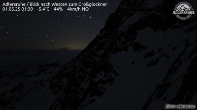
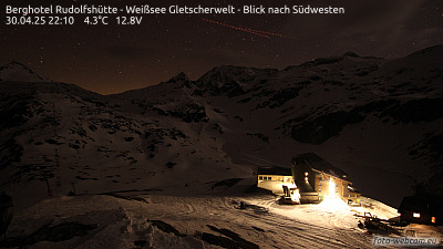
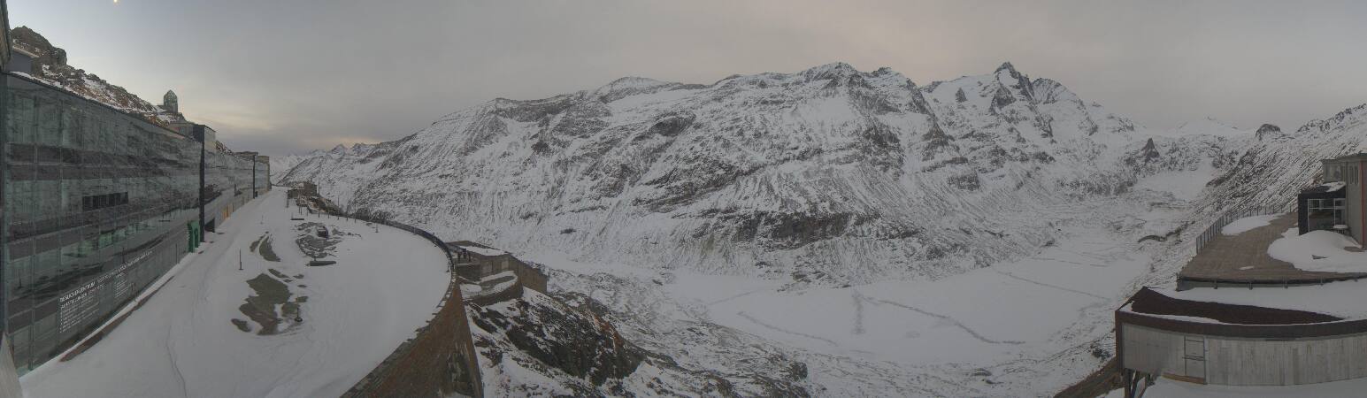
Webcams near Romariswandköpfe

History around Romariswandköpfe
- Kaprun disaster2000
Towns near Romariswandköpfe
- Saalfelden am Steinernen Meer40 km away
- Bad Reichenhall73 km away