Mountains in Germany
Schanzenkopf
365 m1,198 ft
Mountain · Spessart · Germany
Schanzenkopf (Schwedenschanze) is a wooded hill in the Aschaffenburg district of Bavaria, Germany. It is part of the Mittelgebirge Spessart and lies right on the border with the state of Hesse.
From Wikipedia, CC BY-SA · Read the article
At the summit · forecast for 4:00 PM
11 °CMostly clear · wind 9 km/h from the NW
 See it in 3D
Weather at the summit of Schanzenkopf, 365 m
- 4:00 PM11 °CNW 9 km/h–
- 7:00 PM7 °CNE 6 km/h–
- 10:00 PM6 °CNE 4 km/h–
- 1:00 AM5 °CNE 3 km/h–
- 4:00 AM3 °CE 2 km/h–
- 7:00 AM2 °CNE 6 km/h–
- 10:00 AM7 °CN 3 km/h–
- 1:00 PM11 °CNW 4 km/h–
| Day | Sky | High / low | Rain | Wind up to |
|---|---|---|---|---|
| Thu, Oct 29 | Clear | 12 °C / 2 °C | – | 8 km/h |
| Fri, Oct 30 | Partly cloudy | 12 °C / 3 °C | – | 15 km/h |
| Sat, Oct 31 | Partly cloudy | 9 °C / 2 °C | – | 9 km/h |
| Sun, Nov 1 | Cloudy | 9 °C / 4 °C | 0.1 mm | 14 km/h |
| Mon, Nov 2 | Partly cloudy | 8 °C / 0 °C | – | 8 km/h |
| Tue, Nov 3 | Cloudy | 9 °C / -1 °C | – | 14 km/h |
| Wed, Nov 4 | Clear | 10 °C / 3 °C | – | 12 km/h |
Forecast by MET Norway (CC BY 4.0), updated 02:17 PM GMT+1. Times are local.
Facts
- What it is
- Mountain
- Height above sea level
- 365 m (1,198 ft)
- Range
- Spessart
- Country
- Germany
- Coordinates
- 50.100°N 9.145°E
- Source
- Wikidata, CC0
Peaks near Schanzenkopf
- Schanzenkopf343 m · 5 km awayOn the map
- Horst540 m · 20 km awayOn the map
- Wintersberg434 m · 21 km awayOn the map
- Schwarzer Berg521 m · 23 km awayOn the map
- Glauberg277 m · 25 km awayOn the map
- Markberg516 m · 25 km awayOn the map
- Weickertshöhe546 m · 26 km awayOn the map
- Otzberg368 m · 35 km awayOn the map
- Völzberger Köpfchen571 m · 41 km awayOn the map
- Weißer Stein607 m · 42 km awayOn the map
Highest in the Spessart
- Querberg567 mOn the map
- Hermannskoppe567 mOn the map
- Klosterkuppel553 mOn the map
- Weickertshöhe546 mOn the map
- Steckenlaubshöhe542 mOn the map
- Hoher Knuck539 mOn the map
- Sohlhöhe531 mOn the map
- Schindershöh522 mOn the map
- Schanzenkopf365 mOn the map
Highest mountains in Germany
- Zugspitze2,962 mOn the map
- Hochwanner2,744 mOn the map
- Dreitorspitze2,682 mOn the map
- Hochkalter2,607 mOn the map
- Biberkopf2,599 mOn the map
- Großer Hundstod2,594 mOn the map
- Hochvogel2,592 mOn the map
- Östliche Karwendelspitze2,538 mOn the map
- Hocheisspitze2,523 mOn the map
- Hoher Göll2,522 mOn the map
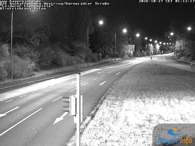
Webcams near Schanzenkopf


History around Schanzenkopf
- 2020 Hanau shootings2020
- Battle of Dettingen1743
- Robert Schuman presents his proposal for the creation of a pan-European organisation1950
- Standard & Poor's downgrades Greece's sovereign credit rating to junk 4 days after the activation of a €45-billion EU–IMF bailout2010
- 2025 Aschaffenburg stabbing attack: Two people, including a child, are killed in a knife attack in Aschaffenburg2025
- Stock markets rise significantly and bond prices fall around the world after investors are reassured by the European Union and International Monetary Fund’s…2010
- Battle of Aschaffenburg1866
- Battle of Laufach1866
Towns near Schanzenkopf
- Alzenau in Unterfranken5.9 km away
- Gelnhausen12 km away
- Aschaffenburg14 km away
- Seligenstadt14 km away
- Hanau am Main17 km away
- Bruchköbel18 km away