 See it in 3D
Facts
- What it is
- Mountain
- Height above sea level
- 2,070 m (6,791 ft)
- Prominence
- 157 m (515 ft)
- Isolation
- 1.2 km to higher ground
- Range
- Allgäu Alps
- Parent peak
- Lahnerkopf
- Coordinates
- 47.418°N 10.453°E
- Source
- Wikidata, CC0
Peaks near Schänzlekopf
- Schänzlespitz2,052 m · 0.7 km awayOn the map
- Lahnerkopf2,121 m · 1.5 km awayOn the map
- Glasfelderkopf2,270 m · 2.3 km awayOn the map
- Kugelhorn2,125 m · 3.7 km awayOn the map
- Hochvogel2,592 m · 4.3 km awayOn the map
- Rauhhorn2,241 m · 4.7 km awayOn the map
- Gaishorn2,247 m · 6 km awayOn the map
- Schneck2,268 m · 6.4 km awayOn the map
- Großer Daumen2,280 m · 6.4 km awayOn the map
- Leilachspitze2,274 m · 7.4 km awayOn the map
Parent peak
The nearest higher peak its prominence is measured to.
- Lahnerkopf2,121 mOn the map
Highest in the Allgäu Alps
- Krottenkopf2,656 mOn the map
- Hohes Licht2,651 mOn the map
- Biberkopf2,599 mOn the map
- Hochvogel2,592 mOn the map
- Widderstein2,533 mOn the map
- Schänzlekopf2,070 mOn the map
Highest mountains in Germany
- Zugspitze2,962 mOn the map
- Hochwanner2,744 mOn the map
- Dreitorspitze2,682 mOn the map
- Hochkalter2,607 mOn the map
- Biberkopf2,599 mOn the map
- Großer Hundstod2,594 mOn the map
- Hochvogel2,592 mOn the map
- Östliche Karwendelspitze2,538 mOn the map
- Hocheisspitze2,523 mOn the map
- Hoher Göll2,522 mOn the map
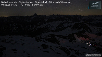
Webcams near Schänzlekopf



Towns near Schänzlekopf
- Sonthofen17 km away
- Füssen25 km away
- Kempten (Allgäu)36 km away
- Marktoberdorf42 km away
- Telfs48 km away
- Garmisch-Partenkirchen49 km away