 See it in 3D
Facts
- What it is
- Hill
- Height above sea level
- 315 m (1,033 ft)
- Country
- Luxembourg
- Coordinates
- 49.616°N 6.145°E
- Source
- Wikidata, CC0
Peaks near Seminairesbierg
- Widdebierg386 m · 13 km awayOn the map
- Mont St. Jean411 m · 15 km awayOn the map
- Zolwerknapp422 m · 18 km awayOn the map
- Herrenberg393 m · 30 km awayOn the map
- Napoléonsgaard554 m · 32 km awayOn the map
- montagne Verte347 m · 44 km awayOn the map
- Schimmelkopf695 m · 48 km awayOn the map
- Rösterkopf708 m · 50 km awayOn the map
- Hohe Wurzel669 m · 53 km awayOn the map
- Kellerberg449 m · 54 km awayOn the map
Highest mountains in Luxembourg
- Kneiff560 mOn the map
- Napoléonsgaard554 mOn the map
- Zolwerknapp422 mOn the map
- Mont St. Jean411 mOn the map
- Herrenberg393 mOn the map
- Widdebierg386 mOn the map
- Seminairesbierg315 mOn the map
Webcams near Seminairesbierg
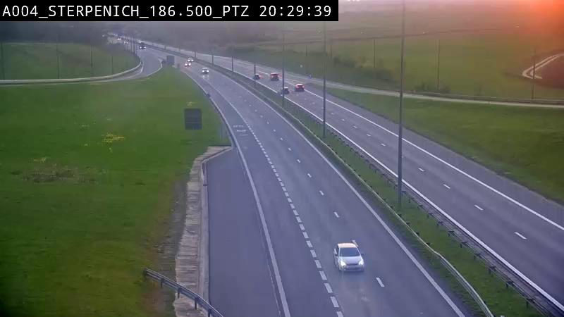

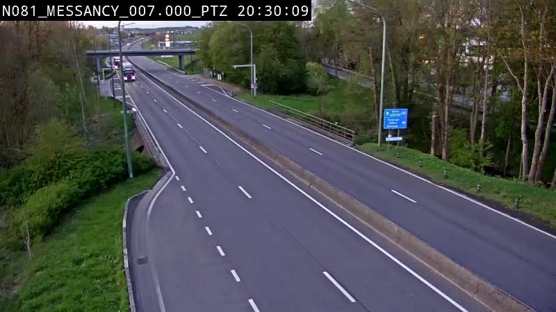


History around Seminairesbierg
Towns near Seminairesbierg
- Luxembourg1.1 km away
- Dudelange16 km away
- Esch-sur-Alzette18 km away
- Arlon25 km away
- Thionville28 km away
- Yutz29 km away