Signal Peak
1,168 ft356 m
Mountain · San Joaquin Hills · United States
Signal Peak is the highest point in the San Joaquin Hills area of Orange County, California, United States. Its elevation is 1,168 ft (356 m). The peak is visible over the southern horizon from most of northern Orange County, and from far-southern Los Angeles County.
From Wikipedia, CC BY-SA · Read the article
At the summit · forecast for 7:00 PM
64 °FPartly cloudy · wind 3 mph from the S
 See it in 3D
Weather at the summit of Signal Peak, 1,168 ft
- 7:00 PM64 °FS 3 mph–
- 10:00 PM61 °FE 3 mph–
- 1:00 AM58 °FE 5 mph–
- 4:00 AM56 °FNE 5 mph–
- 7:00 AM54 °FE 4 mph–
- 10:00 AM65 °FSE 7 mph–
- 1:00 PM68 °FSW 10 mph0 in
- 4:00 PM67 °FW 12 mph–
| Day | Sky | High / low | Rain | Wind up to |
|---|---|---|---|---|
| Thu, Oct 29 | Light rain | 68 °F / 54 °F | 0 in | 12 mph |
| Fri, Oct 30 | Partly cloudy | 67 °F / 58 °F | 0.02 in | 11 mph |
| Sat, Oct 31 | Cloudy | 66 °F / 55 °F | 0.58 in | 9 mph |
| Sun, Nov 1 | Light rain | 65 °F / 59 °F | 0.37 in | 9 mph |
| Mon, Nov 2 | Clear | 66 °F / 56 °F | – | 6 mph |
| Tue, Nov 3 | Mostly clear | 69 °F / 53 °F | – | 4 mph |
| Wed, Nov 4 | Clear | 72 °F / 56 °F | – | 3 mph |
Forecast by MET Norway (CC BY 4.0), updated 06:17 PM PDT. Times are local.
Facts
- What it is
- Mountain
- Height above sea level
- 1,168 ft (356 m)
- Prominence
- 794 ft (242 m)
- Range
- San Joaquin Hills
- Country
- United States
- Coordinates
- 33.606°N 117.812°W
- Source
- Wikidata, CC0
Signal Peak (Orange County, California)
Mountain in Orange County, California
Signal Peak is the highest point in the San Joaquin Hills area of Orange County, California, United States. Its elevation is 1,168 ft (356 m). The peak is visible over the southern horizon from most of northern Orange County, and from far-southern Los Angeles County. Signal Peak overlooks the University of California, Irvine, to the north and Crystal Cove State Park to the south and southeast.
From Wikipedia, CC BY-SA · Read the article
Peaks near Signal Peak
- Modjeska Peak5,499 ft · 28 km awayOn the map
- Santiago Peak5,689 ft · 28 km awayOn the map
- Los Pinos Peak4,513 ft · 32 km awayOn the map
- Trabuco Peak4,607 ft · 33 km awayOn the map
- San Mateo Peak3,591 ft · 40 km awayOn the map
- Estelle Mountain2,767 ft · 40 km awayOn the map
- Margarita Peak3,193 ft · 43 km awayOn the map
- Arlington Mountain1,857 ft · 43 km awayOn the map
- Beacon Hill1,019 ft · 43 km awayOn the map
- Elsinore Peak3,575 ft · 43 km awayOn the map
Highest mountains in United States
- Denali20,308 ftOn the map
- Mount Saint Elias18,009 ftOn the map
- Mount Foraker17,402 ftOn the map
- Mount Bona16,535 ftOn the map
- Mount Blackburn16,390 ftOn the map
- Mount Sanford16,237 ftOn the map
- Mount Vancouver15,787 ftOn the map
- Mount Churchill15,636 ftOn the map
- Mount Fairweather15,325 ftOn the map
- Mount Hubbard14,951 ftOn the map
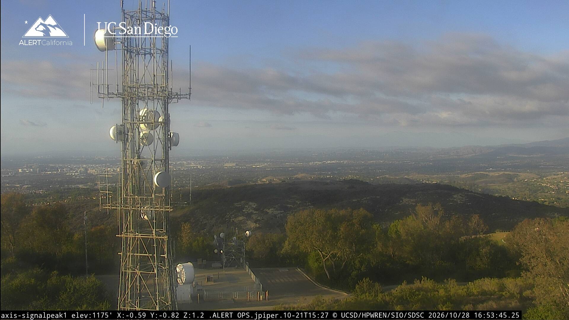
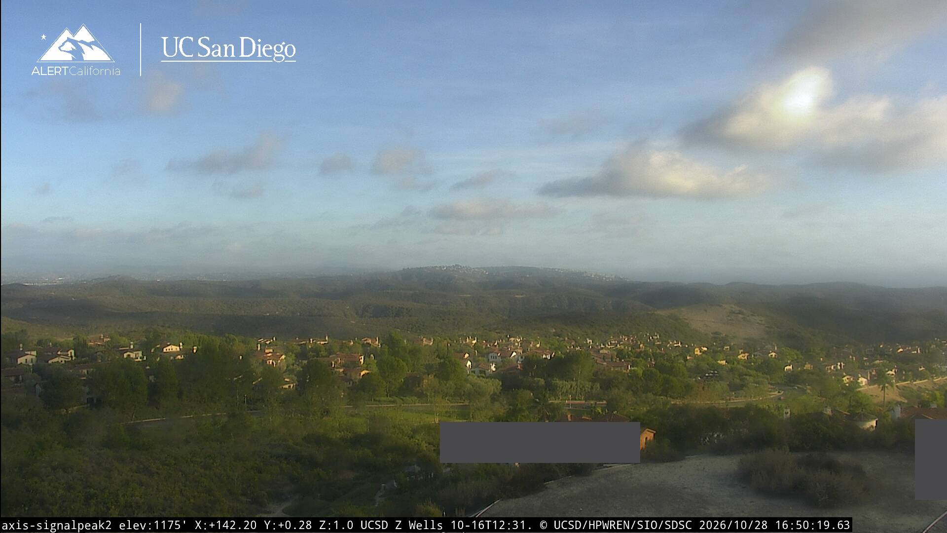
Webcams near Signal Peak


History around Signal Peak
Towns near Signal Peak
- Irvine7.1 km away
- Laguna Beach7.6 km away
- Laguna Woods8 km away
- Aliso Viejo9.1 km away
- Laguna Hills9.2 km away
- Costa Mesa11 km away