Mountains in Switzerland
Silberplatten
2,158 m7,080 ft
Mountain · Appenzell Alps · Switzerland
The Silberplatten is a mountain of the Appenzell Alps, overlooking the Schwägalp Pass in the canton of St. Gallen. Its 2,158-metre-high (7,080 ft) summit is located southwest of the Grenzchopf, which marks the border with the canton of Appenzell Ausserrhoden.
From Wikipedia, CC BY-SA · Read the article
At the summit · forecast for 12:00 AM
2 °CPartly cloudy · wind 4 km/h from the S
 See it in 3D
Weather at the summit of Silberplatten, 2,158 m
- 12:00 AM2 °CS 4 km/h–
- 3:00 AM3 °CSW 1 km/h–
- 6:00 AM1 °CSE 4 km/h–
- 9:00 AM6 °CSE 6 km/h–
- 12:00 PM11 °CSE 4 km/h–
- 3:00 PM11 °CNW 3 km/h–
- 6:00 PM5 °CW 5 km/h–
- 9:00 PM3 °CW 5 km/h–
| Day | Sky | High / low | Rain | Wind up to |
|---|---|---|---|---|
| Today | Clear | 12 °C / 1 °C | – | 7 km/h |
| Wed, Oct 28 | Sleet | 2 °C / -0 °C | 2.4 mm | 10 km/h |
| Thu, Oct 29 | Clear | 4 °C / -3 °C | – | 10 km/h |
| Fri, Oct 30 | Clear | 6 °C / -5 °C | – | 3 km/h |
| Sat, Oct 31 | Clear | 6 °C / -5 °C | – | 3 km/h |
| Sun, Nov 1 | Clear | 5 °C / -6 °C | – | 2 km/h |
| Mon, Nov 2 | Clear | 3 °C / -3 °C | – | 5 km/h |
Forecast by MET Norway (CC BY 4.0), updated 08:17 PM GMT+1. Times are local.
Facts
- What it is
- Mountain
- Height above sea level
- 2,158 m (7,080 ft)
- Prominence
- 91 m (299 ft)
- Range
- Appenzell Alps
- Parent peak
- Säntis
- Country
- Switzerland
- Coordinates
- 47.240°N 9.317°E
- Source
- Wikidata, CC0
Peaks near Silberplatten
- Säntis2,501 m · 2.3 km awayOn the map
- Altmann2,435 m · 4.2 km awayOn the map
- Hoher Kasten1,794 m · 14 km awayOn the map
- Alvier2,343 m · 16 km awayOn the map
- Drei Schwestern2,053 m · 21 km awayOn the map
- Spitzmeilen2,501 m · 25 km awayOn the map
- Galinakopf2,198 m · 25 km awayOn the map
- Falknis2,562 m · 28 km awayOn the map
- Augstenberg2,359 m · 28 km awayOn the map
- Grauspitz2,599 m · 29 km awayOn the map
Parent peak
The nearest higher peak its prominence is measured to.
- Säntis2,501 mOn the map
Highest in the Appenzell Alps
- Säntis2,501 mOn the map
- Gamsberg2,385 mOn the map
- Silberplatten2,158 mOn the map
- Furgglenfirst1,951 mOn the map
- Speer1,951 mOn the map
- Mattstock1,937 mOn the map
- Stockberg1,782 mOn the map
- Kronberg1,663 mOn the map
- Tweralpspitz1,331 mOn the map
Highest mountains in Switzerland
- Dufourspitze4,634 mOn the map
- Dom4,546 mOn the map
- Lyskamm4,532 mOn the map
- Weisshorn4,505 mOn the map
- Matterhorn4,478 mOn the map
- Dent Blanche4,357 mOn the map
- Grand Combin4,309 mOn the map
- Finsteraarhorn4,274 mOn the map
- Zinalrothorn4,221 mOn the map
- Alphubel4,206 mOn the map
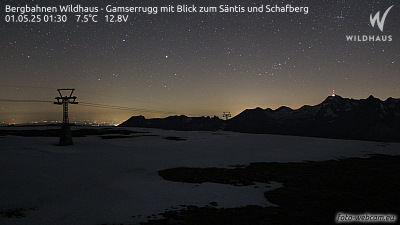
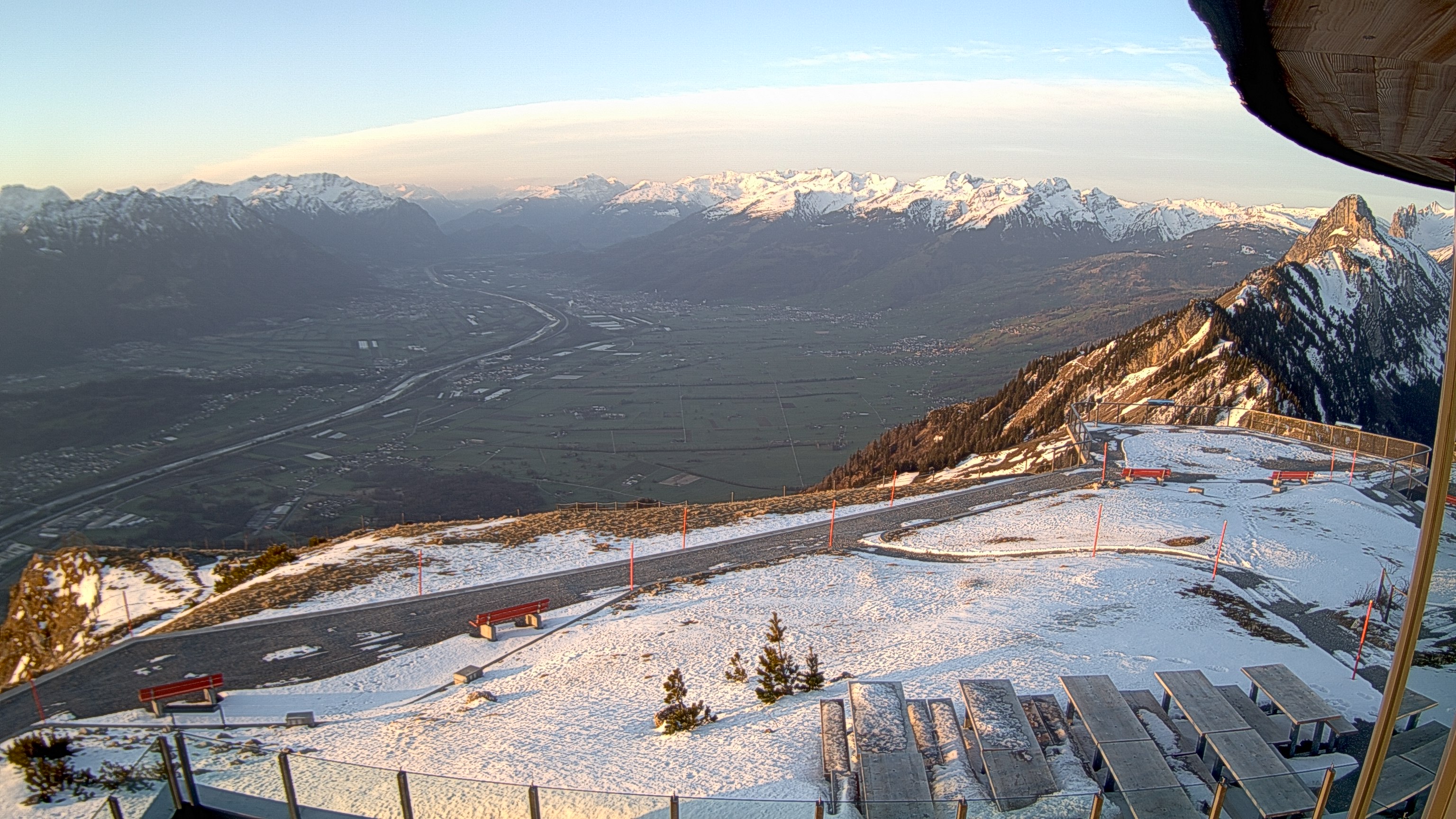
Webcams near Silberplatten


History around Silberplatten
- Schlacht am Stoss1405
- Ricken Tunnel railway accident1926
- Helikopterunfall Schwägalp1982
- Vaduz Convention1960
- The 1939 Liechtenstein putsch takes place; members of the (VDBL) unsuccessfully attempt to provoke a clash with the Liechtenstein government with the aim…1939
- November 1918 Liechtenstein putsch1918
- Eisenbahnunfall in Vonwil1879
- Appenzell Wars1401