Mountains in Germany
Simetsberg
1,836 m6,024 ft
Mountain · Ester Mountains · Germany
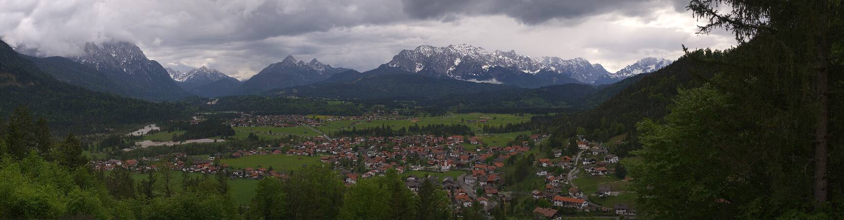
Simetsberg is a mountain in the Bavarian Prealps of southern Germany. An isolated peak, it forms the eastern end of the Ester Mountains.
From Wikipedia, CC BY-SA · Read the article
 See it in 3D
Facts
- What it is
- Mountain
- Height above sea level
- 1,836 m (6,024 ft)
- Range
- Ester Mountains
- Country
- Germany
- Coordinates
- 47.566°N 11.254°E
- Source
- Wikidata, CC0
Peaks near Simetsberg
- Krottenkopf2,086 m · 5.3 km awayOn the map
- Herzogstand1,731 m · 6.6 km awayOn the map
- Wank1,780 m · 11 km awayOn the map
- Dreitorspitze2,682 m · 21 km awayOn the map
- Alpspitze2,628 m · 22 km awayOn the map
- Waxenstein2,277 m · 22 km awayOn the map
- Birkkarspitze2,749 m · 22 km awayOn the map
- Friederspitz2,049 m · 23 km awayOn the map
- Kaltwasserkarspitze2,733 m · 24 km awayOn the map
- Höllentalspitzen2,743 m · 24 km awayOn the map
Highest in the Ester Mountains
- Krottenkopf2,086 mOn the map
- Hoher Fricken1,940 mOn the map
- Simetsberg1,836 mOn the map
- Wank1,780 mOn the map
- Zunderkopf1,617 mOn the map
Highest mountains in Germany
- Zugspitze2,962 mOn the map
- Hochwanner2,744 mOn the map
- Dreitorspitze2,682 mOn the map
- Hochkalter2,607 mOn the map
- Biberkopf2,599 mOn the map
- Großer Hundstod2,594 mOn the map
- Hochvogel2,592 mOn the map
- Östliche Karwendelspitze2,538 mOn the map
- Hocheisspitze2,523 mOn the map
- Hoher Göll2,522 mOn the map