Facts
- What it is
- Mountain
- Country
- Canada
- Coordinates
- 58.478°N 133.361°W
- Source
- Wikidata, CC0
Peaks near Sittakanay Peak
- Boundary Peak 835,374 ft · 28 km awayOn the map
- Camp 4 Peak4,531 ft · 38 km awayOn the map
- Boundary Peak 791,722 m · 38 km awayOn the map
- Devils Paw8,584 ft · 40 km awayOn the map
- Brassiere Hills2,333 ft · 40 km awayOn the map
- Whiting Peak2,524 m · 45 km awayOn the map
- Annex Peak4,094 ft · 47 km awayOn the map
- Dipyramid6,073 ft · 54 km awayOn the map
- Amherst Peak4,777 ft · 59 km awayOn the map
- Snow TowerMountain · 34 km awayOn the map
Highest mountains in Canada
- Mount Logan5,959 mOn the map
- Mount Saint Elias18,009 ftOn the map
- Mount Lucania5,240 mOn the map
- King Peak5,173 mOn the map
- Mount Steele5,073 mOn the map
- Mount Wood4,850 mOn the map
- Mount Vancouver15,787 ftOn the map
- Mount Slaggard4,742 mOn the map
- Mount Macaulay4,700 mOn the map
- Mount Fairweather15,325 ftOn the map
Webcams near Sittakanay Peak
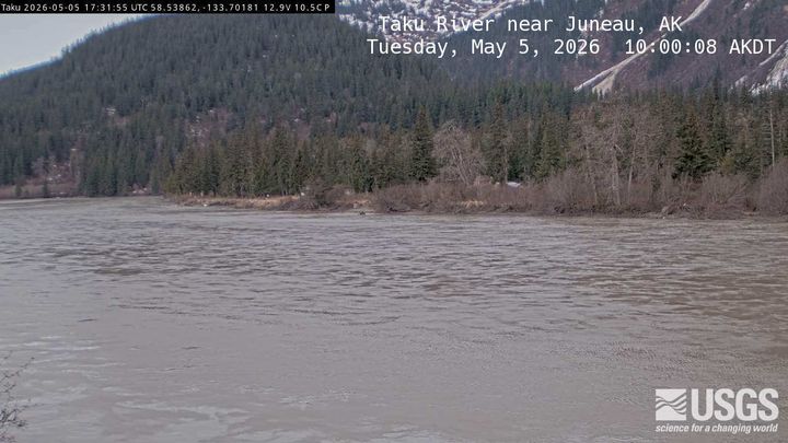
Towns near Sittakanay Peak
- Juneau65 km away