Mountains in Germany
Syberg
245 m802 ft
Mountain · Ardey Hills · Germany
The Syberg is a hill in the Ruhr in the southern part of Dortmund, 240 m above sea level (NN), which is part of the Ardey Hills. The Syberg is home to the Sigiburg, the Vincke Tower, a monument to Emperor William I and other points of interest.
From Wikipedia, CC BY-SA · Read the article
At the summit · forecast for 1:00 AM
12 °CCloudy · wind 20 km/h from the S
 See it in 3D
Weather at the summit of Syberg, 245 m
- 1:00 AM12 °CS 20 km/h–
- 4:00 AM12 °CS 19 km/h–
- 7:00 AM12 °CS 22 km/h–
- 10:00 AM14 °CS 26 km/h–
- 1:00 PM16 °CS 23 km/h–
- 4:00 PM15 °CS 20 km/h–
- 7:00 PM13 °CS 21 km/h0.2 mm
- 10:00 PM12 °CW 14 km/h0.4 mm
| Day | Sky | High / low | Rain | Wind up to |
|---|---|---|---|---|
| Today | Mostly clear | 16 °C / 12 °C | 0.6 mm | 26 km/h |
| Wed, Oct 28 | Partly cloudy | 12 °C / 7 °C | – | 13 km/h |
| Thu, Oct 29 | Cloudy | 14 °C / 7 °C | – | 10 km/h |
| Fri, Oct 30 | Clear | 14 °C / 5 °C | – | 7 km/h |
| Sat, Oct 31 | Clear | 14 °C / 5 °C | – | 8 km/h |
| Sun, Nov 1 | Cloudy | 13 °C / 6 °C | 0.7 mm | 12 km/h |
| Mon, Nov 2 | Cloudy | 10 °C / 7 °C | – | 8 km/h |
Forecast by MET Norway (CC BY 4.0), updated 12:19 AM GMT+1. Times are local.
Facts
- What it is
- Mountain
- Height above sea level
- 245 m (802 ft)
- Range
- Ardey Hills
- Country
- Germany
- Coordinates
- 51.420°N 7.486°E
- Source
- Wikidata, CC0
Peaks near Syberg
- Klusenberg254 m · 1.1 km awayOn the map
- Kaisberg186 m · 5.4 km awayOn the map
- Brodtberg379 m · 32 km awayOn the map
- Nordhelle663 m · 36 km awayOn the map
- Halde Haniel185 m · 45 km awayOn the map
- Homert656 m · 46 km awayOn the map
- Feldberg556 m · 49 km awayOn the map
- Halde Rheinpreußen103 m · 58 km awayOn the map
- Monte Troodelöh118 m · 59 km awayOn the map
- Plackweghöhe582 m · 60 km awayOn the map
Highest in the Ardey Hills
- Klusenberg254 mOn the map
- Syberg245 mOn the map
- Ebberg222 mOn the map
Highest mountains in Germany
- Zugspitze2,962 mOn the map
- Hochwanner2,744 mOn the map
- Dreitorspitze2,682 mOn the map
- Hochkalter2,607 mOn the map
- Biberkopf2,599 mOn the map
- Großer Hundstod2,594 mOn the map
- Hochvogel2,592 mOn the map
- Östliche Karwendelspitze2,538 mOn the map
- Hocheisspitze2,523 mOn the map
- Hoher Göll2,522 mOn the map
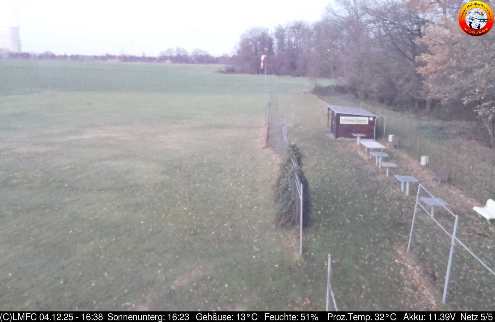
Webcams near Syberg


History around Syberg
- Operation Plunder1945
- Ruhr Pocket1945
- Straßenbahnunfall in der Grüne1924
- Bergarbeiterstreik von 19121912
- Bergarbeiterstreik von 19051904
- Bergarbeiterstreik von 18891889
- Battle of the Wülferichskamp1254
- El club alemán Borussia Dortmund sufre un atentado terrorista mientras se dirigía al su estadio para disputar un partido frente al Mónaco válido para los…2017