 See it in 3D
Facts
- What it is
- Mountain
- Height above sea level
- 577 m (1,893 ft)
- Country
- China
- Coordinates
- 22.358°N 114.218°E
- Source
- Wikidata, CC0
Peaks near Tate's Cairn
- Tung Shan544 m · 0.7 km awayOn the map
- Temple Hill488 m · 1.2 km awayOn the map
- Cheung Shan585 m · 1.3 km awayOn the map
- Kowloon Peak602 m · 1.9 km awayOn the map
- West Buffalo Hill604 m · 2.2 km awayOn the map
- Buffalo Hill606 m · 2.3 km awayOn the map
- Ping Shan189 m · 3 km awayOn the map
- Shek Nga Shan540 m · 3.2 km awayOn the map
- Lion Rock495 m · 3.2 km awayOn the map
- Hammer Hill140 m · 3.3 km awayOn the map
Highest mountains in China
- Mount Everest8,849 mOn the map
- Lhotse8,516 mOn the map
- Makalu8,485 mOn the map
- Cho Oyu8,188 mOn the map
- Gasherbrum8,080 mOn the map
- Broad Peak8,051 mOn the map
- Gasherbrum II8,034 mOn the map
- Shishapangma8,027 mOn the map
- Gyachung Kang7,952 mOn the map
- Gasherbrum III7,946 mOn the map
Webcams near Tate's Cairn
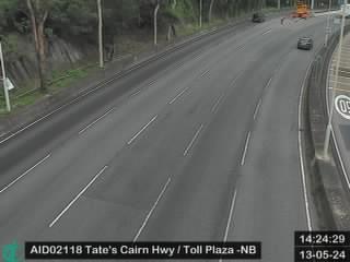
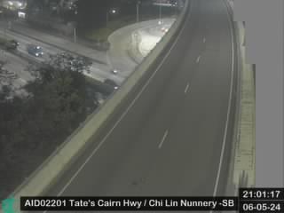



History around Tate's Cairn
Towns near Tate's Cairn
- Tsz Wan Shan1.9 km away
- Tsz Ching Estate2 km away
- Shui Chuen O2.6 km away
- Siu Lek Yuen2.7 km away
- Choi Hung Estate2.7 km away
- Choi Wan2.7 km away