Mountains in Iceland
See it in 3DÞeistareykir
564 m1,850 ft
Volcano · Iceland
Þeistareykir ist ein Vulkansystem im Norden Islands, das nach einem nahegelegenen verlassenen Hof benannt ist. Der dazugehörige Zentralvulkan ist der Schildvulkan Þeistareykjabunga.
From German Wikipedia, CC BY-SA · Read the article
At the summit · forecast for 5:00 AM
0 °CSnow · wind 22 km/h from the W
Weather at the summit of Þeistareykir, 564 m
- 5:00 AM0 °CW 22 km/h0.6 mm
- 8:00 AM-0 °CW 19 km/h0.6 mm
- 11:00 AM0 °CW 23 km/h0.2 mm
- 2:00 PM1 °CW 24 km/h–
- 5:00 PM1 °CW 23 km/h–
- 8:00 PM1 °CW 12 km/h–
- 11:00 PM-0 °CSW 6 km/h–
- 2:00 AM-0 °CS 5 km/h–
| Day | Sky | High / low | Rain | Wind up to |
|---|---|---|---|---|
| Today | Cloudy | 1 °C / -0 °C | 1.4 mm | 25 km/h |
| Thu, Oct 29 | Cloudy | 4 °C / -2 °C | – | 32 km/h |
| Fri, Oct 30 | Partly cloudy | 3 °C / -0 °C | 1.8 mm | 23 km/h |
| Sat, Oct 31 | Mostly clear | 2 °C / 0 °C | 0.3 mm | 31 km/h |
| Sun, Nov 1 | Cloudy | 2 °C / 0 °C | 2 mm | 29 km/h |
| Mon, Nov 2 | Partly cloudy | 6 °C / 2 °C | 1.1 mm | 26 km/h |
| Tue, Nov 3 | Cloudy | 7 °C / 2 °C | – | 22 km/h |
Forecast by MET Norway (CC BY 4.0), updated 01:17 AM GMT. Times are local.
Facts
- What it is
- Volcano
- Height above sea level
- 564 m (1,850 ft)
- Country
- Iceland
- Coordinates
- 65.880°N 16.840°W
- Volcano number
- 373090 at the Global Volcanism Program
- Source
- Wikidata, CC0
Peaks near Þeistareykir
- Þeistareykjarbunga564 m · 0 km awayOn the map
- Rauðhólar220 m · 16 km awayOn the map
- Krafla818 m · 17 km awayOn the map
- Leirhnjúkur592 m · 18 km awayOn the map
- Námafjall482 m · 27 km awayOn the map
- Hverfjall452 m · 31 km awayOn the map
- Fremrinámar939 m · 51 km awayOn the map
- mountain-115473593583 m · 20 km awayOn the map
- mountain-97258896813 m · 23 km awayOn the map
- Hlíðarfjall771 m · 23 km awayOn the map
Highest mountains in Iceland
- Öræfajökull2,110 mOn the map
- Highlands of Iceland2,110 mOn the map
- Hvannadalshnúkur2,110 mOn the map
- Bárðarbunga2,010 mOn the map
- Kverkfjöll1,933 mOn the map
- Hrútsfjallstindar1,875 mOn the map
- Snæfell1,833 mOn the map
- Esjufjöll1,760 mOn the map
- Grímsvötn1,725 mOn the map
- Herðubreið1,682 mOn the map
Webcams near Þeistareykir
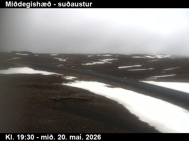
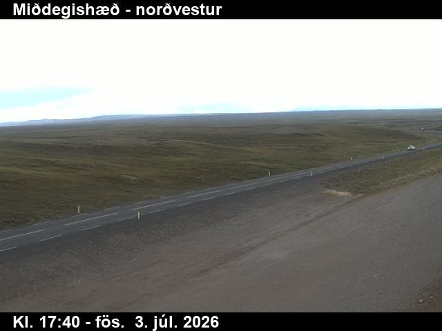

Towns near Þeistareykir
- Akureyri61 km away