Þeistareykjarbunga
564 m1,850 ft
Volcano · Iceland
Theistareykjarbunga is a shield volcano in north-eastern Iceland with two fissure vents called Þeistareykjahraun and Borgahraun, and two cones: the 370 m (1,210 ft) Stórahversmór and the 540 m (1,770 ft), 30 km3 (7.2 cu mi) Stóravíti.
From Wikipedia, CC BY-SA · Read the article
At the summit · forecast for 2:00 AM
1 °CHeavy snow · wind 23 km/h from the NW
Weather at the summit of Þeistareykjarbunga, 564 m
- 2:00 AM1 °CNW 23 km/h2.6 mm
- 5:00 AM-0 °CW 22 km/h0.8 mm
- 8:00 AM-0 °CW 27 km/h0.8 mm
- 11:00 AM0 °CW 22 km/h–
- 2:00 PM1 °CW 21 km/h–
- 5:00 PM1 °CW 19 km/h–
- 8:00 PM1 °CW 10 km/h–
- 11:00 PM-1 °CSW 8 km/h–
| Day | Sky | High / low | Rain | Wind up to |
|---|---|---|---|---|
| Today | Cloudy | 1 °C / -1 °C | 4.2 mm | 27 km/h |
| Thu, Oct 29 | Cloudy | 4 °C / -2 °C | 0.9 mm | 33 km/h |
| Fri, Oct 30 | Clear | 5 °C / 0 °C | 0.2 mm | 35 km/h |
| Sat, Oct 31 | Mostly clear | 2 °C / 0 °C | 0.3 mm | 31 km/h |
| Sun, Nov 1 | Cloudy | 2 °C / 0 °C | 2 mm | 29 km/h |
| Mon, Nov 2 | Partly cloudy | 6 °C / 2 °C | 1.1 mm | 26 km/h |
| Tue, Nov 3 | Cloudy | 7 °C / 2 °C | – | 22 km/h |
Forecast by MET Norway (CC BY 4.0), updated 11:18 PM GMT. Times are local.
Facts
- What it is
- Volcano
- Height above sea level
- 564 m (1,850 ft)
- Country
- Iceland
- Coordinates
- 65.880°N 16.840°W
- Volcano number
- 373090 at the Global Volcanism Program
- Source
- Wikidata, CC0
Theistareykjarbunga
Volcano in Iceland
Theistareykjarbunga is a shield volcano in north-eastern Iceland with two fissure vents called Þeistareykjahraun and Borgahraun, and two cones: the 370 m (1,210 ft) Stórahversmór and the 540 m (1,770 ft), 30 km3 (7.2 cu mi) Stóravíti. They both are currently extinct, although there is evidence suggesting the potential for activity such as recent localised uplift and seismicity.
From Wikipedia, CC BY-SA · Read the article
3 recorded eruptions
Peaks near Þeistareykjarbunga
- Þeistareykir564 m · 0 km awayOn the map
- Rauðhólar220 m · 16 km awayOn the map
- Krafla818 m · 17 km awayOn the map
- Leirhnjúkur592 m · 18 km awayOn the map
- Námafjall482 m · 27 km awayOn the map
- Hverfjall452 m · 31 km awayOn the map
- Fremrinámar939 m · 51 km awayOn the map
- mountain-115473593583 m · 20 km awayOn the map
- mountain-97258896813 m · 23 km awayOn the map
- Hlíðarfjall771 m · 23 km awayOn the map
Highest mountains in Iceland
- Öræfajökull2,110 mOn the map
- Highlands of Iceland2,110 mOn the map
- Hvannadalshnúkur2,110 mOn the map
- Bárðarbunga2,010 mOn the map
- Kverkfjöll1,933 mOn the map
- Hrútsfjallstindar1,875 mOn the map
- Snæfell1,833 mOn the map
- Esjufjöll1,760 mOn the map
- Grímsvötn1,725 mOn the map
- Herðubreið1,682 mOn the map
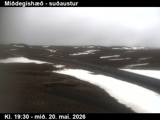
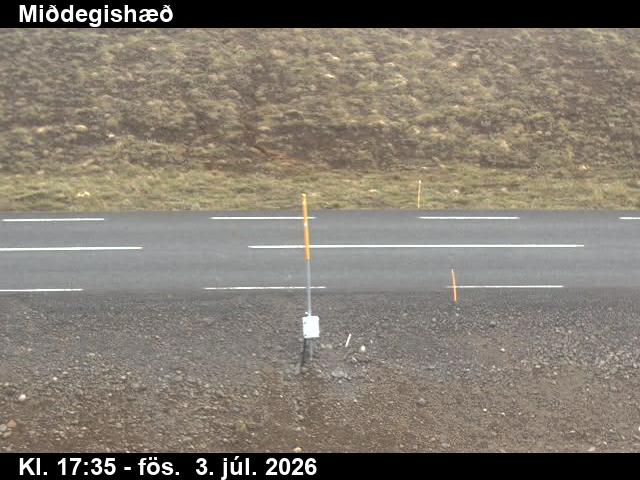
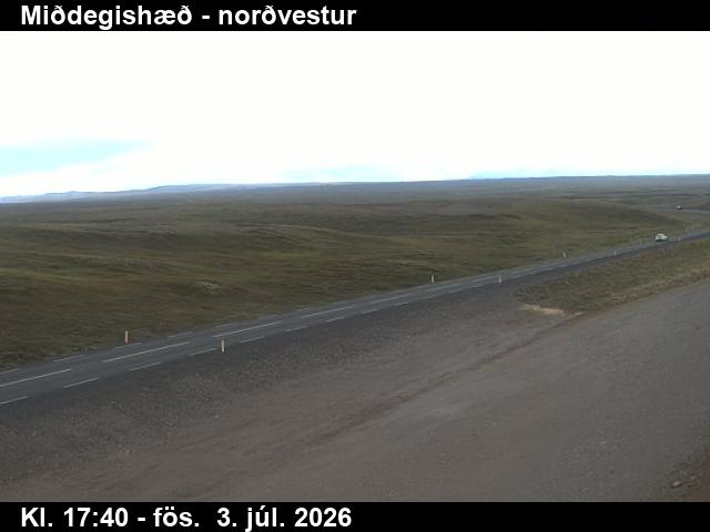
Webcams near Þeistareykjarbunga

Towns near Þeistareykjarbunga
- Akureyri61 km away