Torc Mountain
535 m1,755 ft
Mountain · Mountains of East Kerry · Ireland
Torc Mountain, at 535 metres (1,755 ft), is the 329th–highest peak in Ireland on the Arderin list. It is a popular mountain for hill walkers as it has a stone or boarded path from its base at Torc Waterfall to its summit, which has views of the Lakes of Killarney.
From Wikipedia, CC BY-SA · Read the article
At the summit · forecast for 1:00 AM
7 °CLight rain · wind 30 km/h from the SW
 See it in 3D
Weather at the summit of Torc Mountain, 535 m
- 1:00 AM7 °CSW 30 km/h0.6 mm
- 4:00 AM6 °CSW 27 km/h1.2 mm
- 7:00 AM5 °CW 28 km/h1.2 mm
- 10:00 AM7 °CW 27 km/h0.9 mm
- 1:00 PM8 °CW 27 km/h0.4 mm
- 4:00 PM8 °CW 24 km/h0.1 mm
- 7:00 PM7 °CSW 18 km/h–
- 10:00 PM8 °CSW 24 km/h1.3 mm
| Day | Sky | High / low | Rain | Wind up to |
|---|---|---|---|---|
| Today | Rain | 8 °C / 5 °C | 5.4 mm | 30 km/h |
| Wed, Oct 28 | Cloudy | 12 °C / 9 °C | 0.4 mm | 25 km/h |
| Thu, Oct 29 | Cloudy | 10 °C / 9 °C | 10.5 mm | 31 km/h |
| Fri, Oct 30 | Partly cloudy | 11 °C / 9 °C | 8.2 mm | 21 km/h |
| Sat, Oct 31 | Cloudy | 9 °C / 6 °C | 13.3 mm | 14 km/h |
| Sun, Nov 1 | Partly cloudy | 8 °C / 4 °C | – | 7 km/h |
| Mon, Nov 2 | Cloudy | 10 °C / 1 °C | – | 22 km/h |
Forecast by MET Norway (CC BY 4.0), updated 11:19 PM GMT. Times are local.
Facts
- What it is
- Mountain
- Height above sea level
- 535 m (1,755 ft)
- Prominence
- 300 m (984 ft)
- Range
- Mountains of East Kerry
- Country
- Ireland
- Coordinates
- 52.000°N 9.517°W
- Source
- Wikidata, CC0
Torc Mountain
Mountain in Killarney, Ireland
Torc Mountain, at 535 metres (1,755 ft), is the 329th–highest peak in Ireland on the Arderin list. It is a popular mountain for hill walkers as it has a stone or boarded path from its base at Torc Waterfall to its summit, which has views of the Lakes of Killarney. Torc Mountain is part of the Mangerton Mountain Group range in County Kerry, Ireland.
From Wikipedia, CC BY-SA · Read the article
Peaks near Torc Mountain
- Mangerton Mountain838 m · 4 km awayOn the map
- Purple Mountain832 m · 7.3 km awayOn the map
- Cruach Mhór932 m · 10 km awayOn the map
- The Big Gun939 m · 12 km awayOn the map
- Cnoc na Péiste988 m · 12 km awayOn the map
- Maolán Buí973 m · 13 km awayOn the map
- Brassel Mountain575 m · 13 km awayOn the map
- Cnoc an Chuillinn958 m · 14 km awayOn the map
- Cnoc na Toinne845 m · 15 km awayOn the map
- Hag's Tooth, Kerry650 m · 15 km awayOn the map
Highest in the Mountains of East Kerry
- Mangerton Mountain838 mOn the map
- Torc Mountain535 mOn the map
Highest mountains in Ireland
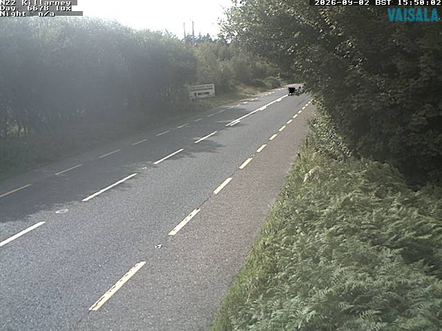
Webcams near Torc Mountain

History around Torc Mountain
Towns near Torc Mountain
- Tralee33 km away
- Ballincollig65 km away
- Cork73 km away
- Douglas75 km away
- Carrigaline80 km away