Wagendrischelhorn
2,251 m7,386 ft
Mountain · Reiter Alpe · Germany · Austria
Wagendrischelhorn is a mountain of Bavaria, Germany. At 2251 metres in height, it is the third highest peak of the Reiter Alpe in the Berchtesgaden Alps after the Stadelhorn and the Großes Häuselhorn.
From Wikipedia, CC BY-SA · Read the article
At the summit · forecast for 11:00 PM
-1 °CClear · wind 7 km/h from the S
 See it in 3D
Weather at the summit of Wagendrischelhorn, 2,251 m
- 11:00 PM-1 °CS 7 km/h–
- 2:00 AM-0 °CS 5 km/h–
- 5:00 AM-1 °CS 5 km/h–
- 8:00 AM1 °CS 6 km/h–
- 11:00 AM5 °CW 8 km/h1.9 mm
- 2:00 PM2 °CNW 7 km/h2.1 mm
- 5:00 PM1 °CNW 8 km/h3.5 mm
- 8:00 PM-0 °CNW 8 km/h2.8 mm
| Day | Sky | High / low | Rain | Wind up to |
|---|---|---|---|---|
| Wed, Oct 28 | Rain | 5 °C / -1 °C | 10.7 mm | 11 km/h |
| Thu, Oct 29 | Partly cloudy | 2 °C / -4 °C | 0.5 mm | 8 km/h |
| Fri, Oct 30 | Clear | 1 °C / -7 °C | – | 10 km/h |
| Sat, Oct 31 | Clear | 2 °C / -7 °C | – | 6 km/h |
| Sun, Nov 1 | Mostly clear | -1 °C / -7 °C | – | 5 km/h |
| Mon, Nov 2 | Cloudy | -3 °C / -8 °C | 3.8 mm | 7 km/h |
| Tue, Nov 3 | Snow | -4 °C / -6 °C | 13.7 mm | 10 km/h |
Forecast by MET Norway (CC BY 4.0), updated 08:17 PM GMT+1. Times are local.
Facts
- What it is
- Mountain
- Height above sea level
- 2,251 m (7,386 ft)
- Prominence
- 126 m (413 ft)
- Isolation
- 0.7 km to higher ground
- Range
- Reiter Alpe
- Coordinates
- 47.599°N 12.792°E
- Source
- Wikidata, CC0
Wagendrischelhorn
Mountain in Bavaria, Germany
Wagendrischelhorn is a mountain of Bavaria, Germany. At 2251 metres in height, it is the third highest peak of the Reiter Alpe in the Berchtesgaden Alps after the Stadelhorn and the Großes Häuselhorn. It is separated from the Stadelhorn to the south by the 2,055 m high Mayrbergscharte, and from the Großer Häuselhorn to the north by an unnamed gap at around 2,125 m above sea level.
From Wikipedia, CC BY-SA · Read the article
Peaks near Wagendrischelhorn
- Stadelhorn2,286 m · 0.7 km awayOn the map
- Schottmalhorn1,982 m · 3.3 km awayOn the map
- Hochkalter2,607 m · 6.4 km awayOn the map
- Sonntagshorn1,961 m · 12 km awayOn the map
- Großer Hundstod2,594 m · 12 km awayOn the map
- Großes Ochsenhorn2,511 m · 12 km awayOn the map
- Karkopf1,738 m · 12 km awayOn the map
- Birnhorn2,634 m · 14 km awayOn the map
- Persailhorn2,347 m · 17 km awayOn the map
- Breithorn2,504 m · 18 km awayOn the map
Highest in the Reiter Alpe
- Stadelhorn2,286 mOn the map
- Wagendrischelhorn2,251 mOn the map
- Großer Weitschartenkopf1,979 mOn the map
Highest mountains in Germany
- Zugspitze2,962 mOn the map
- Hochwanner2,744 mOn the map
- Dreitorspitze2,682 mOn the map
- Hochkalter2,607 mOn the map
- Biberkopf2,599 mOn the map
- Großer Hundstod2,594 mOn the map
- Hochvogel2,592 mOn the map
- Östliche Karwendelspitze2,538 mOn the map
- Hocheisspitze2,523 mOn the map
- Hoher Göll2,522 mOn the map
Webcams near Wagendrischelhorn
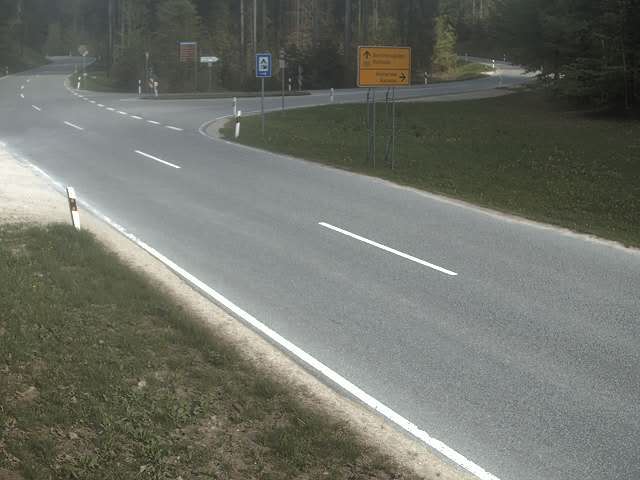 B305 Schneizlreuth - Berchtesgaden → Berchtesgaden (Süd-Osten)6.4 km from the summit
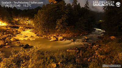 Saalach - Teufelssteg | lofer.com7.4 km from the summit
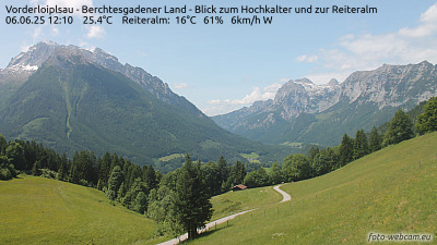 Vorderloiplsau - Berchtesgadener Land - Blick zum Hochkalter und zur Reiteralm9.3 km from the summit
 IR night vision | Pass Strub Rchtg. Salzburg, B178 km 5110 km from the summit
History around Wagendrischelhorn
Towns near Wagendrischelhorn
- Bad Reichenhall16 km away
- Saalfelden am Steinernen Meer20 km away
- Salzburg29 km away
- Freilassing30 km away
- Traunstein32 km away
- Traunreut43 km away