Facts
- What it is
- Mountain
- Height above sea level
- 12,057 ft (3,675 m)
- Range
- Ritter Range
- Country
- United States
- Coordinates
- 37.947°N 119.310°W
- Source
- Wikidata, CC0
Peaks near White Mountain
- Mount Conness12,649 ft · 2.5 km awayOn the map
- North Peak12,248 ft · 4 km awayOn the map
- Tioga Peak11,526 ft · 5.5 km awayOn the map
- Lembert Dome9,455 ft · 7.9 km awayOn the map
- Excelsior Mountain12,438 ft · 8.7 km awayOn the map
- Mount Dana13,061 ft · 9.4 km awayOn the map
- Mount Gibbs12,779 ft · 12 km awayOn the map
- Daff Dome9,158 ft · 12 km awayOn the map
- Doda Dome8,907 ft · 12 km awayOn the map
- Fairview Dome9,728 ft · 12 km awayOn the map
Highest in the Ritter Range
- Electra Peak12,441 ftOn the map
- Mount Davis12,309 ftOn the map
- White Mountain12,057 ftOn the map
- Iron Mountain11,076 ftOn the map
- Ragged Peak10,912 ftOn the map
Highest mountains in United States
- Denali20,308 ftOn the map
- Mount Saint Elias18,009 ftOn the map
- Mount Foraker17,402 ftOn the map
- Mount Bona16,535 ftOn the map
- Mount Blackburn16,390 ftOn the map
- Mount Sanford16,237 ftOn the map
- Mount Vancouver15,787 ftOn the map
- Mount Churchill15,636 ftOn the map
- Mount Fairweather15,325 ftOn the map
- Mount Hubbard14,951 ftOn the map
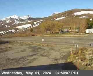
Webcams near White Mountain

Towns near White Mountain
- Mammoth Lakes46 km away