 See it in 3D
Facts
- What it is
- Hill
- Height above sea level
- 1,209 m (3,966 ft)
- Prominence
- 96 m (315 ft)
- Isolation
- 2.6 km to higher ground
- Range
- Black Forest
- Parent peak
- Wiesenwaldkopf
- Country
- Germany
- Coordinates
- 47.898°N 8.078°E
- Source
- Wikidata, CC0
Peaks near Windeck
- Weißtannenhöhe1,191 m · 5.5 km awayOn the map
- Seebuck1,449 m · 5.6 km awayOn the map
- Feldberg1,494 m · 6.1 km awayOn the map
- Hochfirst1,190 m · 8 km awayOn the map
- Herzogenhorn1,416 m · 8.3 km awayOn the map
- Stübenwasen1,389 m · 8.4 km awayOn the map
- Schauinsland1,284 m · 13 km awayOn the map
- Rosskopf737 m · 18 km awayOn the map
- Kandel1,241 m · 19 km awayOn the map
- Schlossberg456 m · 19 km awayOn the map
Highest in the Black Forest
- Feldberg1,494 mOn the map
- Belchen1,414 mOn the map
- Stübenwasen1,389 mOn the map
- Schauinsland1,284 mOn the map
- Hochkopf1,263 mOn the map
- Brenntkopf1,246 mOn the map
- Kandel1,241 mOn the map
- Windeck1,209 mOn the map
- Hinterwaldkopf1,199 mOn the map
Highest mountains in Germany
- Zugspitze2,962 mOn the map
- Hochwanner2,744 mOn the map
- Dreitorspitze2,682 mOn the map
- Hochkalter2,607 mOn the map
- Biberkopf2,599 mOn the map
- Großer Hundstod2,594 mOn the map
- Hochvogel2,592 mOn the map
- Östliche Karwendelspitze2,538 mOn the map
- Hocheisspitze2,523 mOn the map
- Hoher Göll2,522 mOn the map
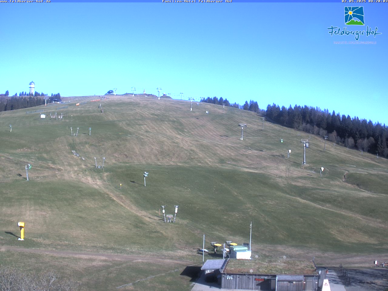
Webcams near Windeck



History around Windeck
Towns near Windeck
- Freiburg20 km away
- Waldkirch24 km away
- Emmendingen30 km away
- Donaueschingen32 km away
- Waldshut-Tiengen32 km away
- Schopfheim34 km away