 See it in 3D
Facts
- What it is
- Mountain
- Height above sea level
- 3,004 m (9,856 ft)
- Isolation
- 1.3 km to higher ground
- Range
- Stubai Alps
- Country
- Austria
- Coordinates
- 47.131°N 11.095°E
- Source
- Wikidata, CC0
Peaks near Zischgeles
- Zuckerhütl3,507 m · 19 km awayOn the map
- Bergisel746 m · 26 km awayOn the map
- Nordkette2,637 m · 27 km awayOn the map
- Patscherkofel2,246 m · 29 km awayOn the map
- Hochwanner2,744 m · 30 km awayOn the map
- Schneefernerkopf2,874 m · 32 km awayOn the map
- Wildspitze3,768 m · 32 km awayOn the map
- Zugspitze2,962 m · 33 km awayOn the map
- Daniel2,340 m · 37 km awayOn the map
- Birkkarspitze2,749 m · 40 km awayOn the map
Highest in the Stubai Alps
- Zuckerhütl3,507 mOn the map
- Schrankogel3,497 mOn the map
- Ruderhofspitze3,474 mOn the map
- Wilde Leck3,359 mOn the map
- Strahlkogel3,288 mOn the map
- Habicht3,277 mOn the map
- Östlicher Feuerstein3,268 mOn the map
- Botzer3,250 mOn the map
- Zischgeles3,004 mOn the map
Highest mountains in Austria
- Grossglockner3,798 mOn the map
- Wildspitze3,768 mOn the map
- Weißkugel3,738 mOn the map
- Großvenediger3,657 mOn the map
- Hintere Schwärze3,624 mOn the map
- Großes Wiesbachhorn3,564 mOn the map
- Ramolkogel3,549 mOn the map
- Schalfkogel3,537 mOn the map
- Watzespitze3,532 mOn the map
- Fineilspitze3,514 mOn the map
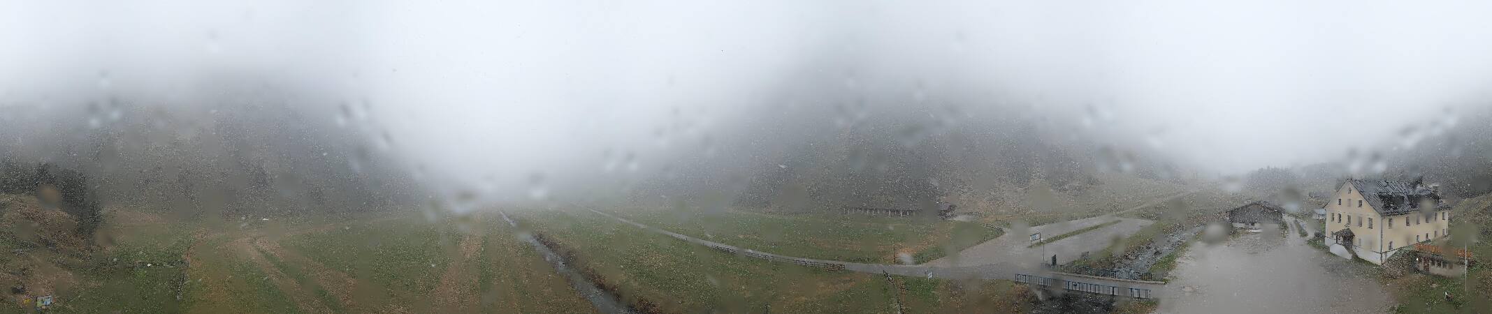
Webcams near Zischgeles


Towns near Zischgeles
- Telfs20 km away
- Innsbruck27 km away
- Garmisch-Partenkirchen40 km away
- Merano52 km away
- Füssen57 km away
- Bressanone63 km away