Hirschgröhrkopf
1.272 m4.173 pés
Montanha · Schliersee Mountains · Alemanha
Der Hirschgröhrkopf ist ein Berg auf dem Gebiet der oberbayerischen Gemeinde Schliersee im Landkreis Miesbach. Der Hirschgröhrkopf ist Teil der Schlierseer Berge und somit des Mangfallgebirges und der Bayerischen Voralpen.
Da Wikipédia em alemão, CC BY-SA · Ler o artigo
No cume · previsão para 20:00
7 °CCéu limpo · vento de 4 km/h de S
 Ver em 3D
Clima no cume de Hirschgröhrkopf, 1.272 m
- 20:007 °CS 4 km/h–
- 23:009 °CO 9 km/h–
- 2:009 °CO 11 km/h–
- 5:009 °CO 14 km/h–
- 8:009 °CO 12 km/h0,1 mm
- 11:009 °CO 15 km/h1,6 mm
- 14:006 °CNO 15 km/h2,8 mm
- 17:005 °CNO 12 km/h0,4 mm
| Dia | Céu | Máx. / mín. | Chuva | Vento até |
|---|---|---|---|---|
| qua., 28 de out. | Chuva forte | 10 °C / 4 °C | 5,3 mm | 15 km/h |
| qui., 29 de out. | Parcialmente nublado | 7 °C / 2 °C | – | 14 km/h |
| sex., 30 de out. | Céu limpo | 7 °C / 1 °C | – | 9 km/h |
| sáb., 31 de out. | Céu limpo | 7 °C / 0 °C | – | 8 km/h |
| dom., 1 de nov. | Parcialmente nublado | 5 °C / -1 °C | – | 8 km/h |
| seg., 2 de nov. | Parcialmente nublado | 3 °C / -0 °C | 4,1 mm | 10 km/h |
| ter., 3 de nov. | Chuva com neve | 3 °C / 0 °C | 6 mm | 17 km/h |
Previsão: MET Norway (CC BY 4.0), atualizada às 14:17 GMT+1. Horários locais.
Ficha técnica
- Tipo
- Montanha
- Altitude acima do nível do mar
- 1.272 m (4.173 pés)
- Cordilheira
- Schliersee Mountains
- País
- Alemanha
- Coordenadas
- 47.714°N 11.889°E
- Fonte
- Wikidata, CC0
Hirschgröhrkopf
Berg in Deutschland
Der Hirschgröhrkopf ist ein Berg auf dem Gebiet der oberbayerischen Gemeinde Schliersee im Landkreis Miesbach. Der Hirschgröhrkopf ist Teil der Schlierseer Berge und somit des Mangfallgebirges und der Bayerischen Voralpen. Zusammen mit Auracher Köpferl und Leitner Nasen bildet der Hirschgröhrkopf das südliche Ende einer Berggruppe östlich des Schliersees, die das Tal der Schlierach vom Leitzachtal trennt.
Da Wikipédia em alemão, CC BY-SA · Ler o artigo
Picos perto de Hirschgröhrkopf
- Aiplspitz1.759 m · a 5,2 kmNo mapa
- Rotwand1.884 m · a 7,8 kmNo mapa
- Wallberg1.722 m · a 8,8 kmNo mapa
- Wendelstein1.838 m · a 9,3 kmNo mapa
- Naunspitze1.633 m · a 29 kmNo mapa
- Petersköpfl1.745 m · a 29 kmNo mapa
- Hochiss2.299 m · a 30 kmNo mapa
- Pyramidenspitze1.997 m · a 31 kmNo mapa
- Scheffauer2.111 m · a 32 kmNo mapa
- Hackenköpfe2.126 m · a 32 kmNo mapa
Os mais altos de Schliersee Mountains
- Rotwand1.884 mNo mapa
- Großer Traithen1.852 mNo mapa
- Wendelstein1.838 mNo mapa
- Trainsjoch1.708 mNo mapa
- Brecherspitz1.683 mNo mapa
- Bodenschneid1.668 mNo mapa
- Brünnstein1.634 mNo mapa
- Schmaleggerjoch1.633 mNo mapa
- Hirschgröhrkopf1.272 mNo mapa
Montanhas mais altas de Alemanha
- Zugspitze2.962 mNo mapa
- Hochwanner2.744 mNo mapa
- Dreitorspitze2.682 mNo mapa
- Hochkalter2.607 mNo mapa
- Biberkopf2.599 mNo mapa
- Grosser Hundstod2.594 mNo mapa
- Hochvogel2.592 mNo mapa
- Östliche Karwendelspitze2.538 mNo mapa
- Hocheisspitze2.523 mNo mapa
- Hoher Göll2.522 mNo mapa
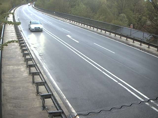
Webcams perto de Hirschgröhrkopf



História ao redor de Hirschgröhrkopf
Cidades perto de Hirschgröhrkopf
- Bruckmühla 18 km
- Bad Aiblinga 19 km
- Kolbermoora 20 km
- Holzkirchena 23 km
- Rosenheima 24 km
- Bad Tölza 25 km