Montanhas de Alemanha
Hoher Berg (Wusterhusen)
48 m157 pés
Montanha · Alemanha
Der Hohe Berg ist eine 48 m ü. NHN hohe Erhebung in der Gemeinde Wusterhusen im Landkreis Vorpommern-Greifswald im Nordosten von Mecklenburg-Vorpommern. Er liegt ostnordöstlich des Kernorts und entstand wie die meisten Erhebungen in der Region während der Weichseleiszeit. Auf der Erhebung steht ein Sendeturm.
Da Wikipédia em alemão, CC BY-SA · Ler o artigo
No cume · previsão para 4:00
10 °CNublado · vento de 11 km/h de S
 Ver em 3D
Clima no cume de Hoher Berg (Wusterhusen), 48 m
- 4:0010 °CS 11 km/h0,3 mm
- 7:0011 °CO 9 km/h–
- 10:0011 °CNO 6 km/h–
- 13:0014 °CNO 11 km/h–
- 16:0013 °CNO 9 km/h–
- 19:0010 °CO 5 km/h–
- 22:009 °CSO 8 km/h–
- 1:008 °CSO 8 km/h–
| Dia | Céu | Máx. / mín. | Chuva | Vento até |
|---|---|---|---|---|
| Hoje | Parcialmente nublado | 14 °C / 9 °C | 0,3 mm | 12 km/h |
| qui., 29 de out. | Nublado | 12 °C / 8 °C | – | 12 km/h |
| sex., 30 de out. | Nublado | 11 °C / 9 °C | – | 13 km/h |
| sáb., 31 de out. | Parcialmente nublado | 11 °C / 10 °C | – | 12 km/h |
| dom., 1 de nov. | Parcialmente nublado | 11 °C / 9 °C | – | 8 km/h |
| seg., 2 de nov. | Nublado | 10 °C / 9 °C | – | 15 km/h |
| ter., 3 de nov. | Parcialmente nublado | 11 °C / 8 °C | – | 15 km/h |
Previsão: MET Norway (CC BY 4.0), atualizada às 22:29 GMT+1. Horários locais.
Ficha técnica
- Tipo
- Montanha
- Altitude acima do nível do mar
- 48 m (157 pés)
- País
- Alemanha
- Coordenadas
- 54.118°N 13.635°E
- Fonte
- Wikidata, CC0
Picos perto de Hoher Berg (Wusterhusen)
- Streckelsberg58 m · a 26 kmNo mapa
- Rugard91 m · a 36 kmNo mapa
- Golm69 m · a 45 kmNo mapa
- Piekberg161 m · a 48 kmNo mapa
- Königsstuhl118 m · a 51 kmNo mapa
- Mühlberg24 m · a 3,4 kmNo mapa
- Mühlenberg (Brünzow)23 m · a 4,9 kmNo mapa
- Karnickelberg26 m · a 7,2 kmNo mapa
- Hoher Zwerg43 m · a 7,9 kmNo mapa
- Zieseberg49 m · a 12 kmNo mapa
Montanhas mais altas de Alemanha
- Zugspitze2.962 mNo mapa
- Hochwanner2.744 mNo mapa
- Dreitorspitze2.682 mNo mapa
- Hochkalter2.607 mNo mapa
- Biberkopf2.599 mNo mapa
- Grosser Hundstod2.594 mNo mapa
- Hochvogel2.592 mNo mapa
- Östliche Karwendelspitze2.538 mNo mapa
- Hocheisspitze2.523 mNo mapa
- Hoher Göll2.522 mNo mapa
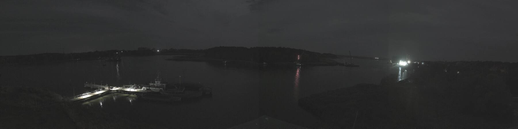
Webcams perto de Hoher Berg (Wusterhusen)


História ao redor de Hoher Berg (Wusterhusen)
Cidades perto de Hoher Berg (Wusterhusen)
- Universitäts- und Hansestadt Greifswalda 16 km
- Stralsunda 42 km
- Świnoujściea 46 km
- Neubrandenburga 67 km
- Ribnitz-Damgartena 78 km