Zieseberg
49 m161 pés
Colina · Alemanha
Der Zieseberg, früher auch Ziesaberg, ist eine an ihrer höchsten Stelle 49 Meter hohe und mit Wald bewachsene, markante Erhebung zwischen Wolgast und Hohendorf im Nordosten des Landes Mecklenburg-Vorpommern.
Da Wikipédia em alemão, CC BY-SA · Ler o artigo
No cume · previsão para 0:00
11 °CPoucas nuvens · vento de 13 km/h de S
 Ver em 3D
Clima no cume de Zieseberg, 49 m
- 0:0011 °CS 13 km/h–
- 3:009 °CS 14 km/h–
- 6:009 °CSO 8 km/h–
- 9:0010 °CO 5 km/h–
- 12:0013 °CNO 13 km/h–
- 15:0014 °CNO 16 km/h–
- 18:0011 °CO 5 km/h–
- 21:009 °CO 10 km/h–
| Dia | Céu | Máx. / mín. | Chuva | Vento até |
|---|---|---|---|---|
| Hoje | Parcialmente nublado | 14 °C / 9 °C | – | 16 km/h |
| qui., 29 de out. | Nublado | 13 °C / 7 °C | – | 11 km/h |
| sex., 30 de out. | Nublado | 11 °C / 8 °C | – | 10 km/h |
| sáb., 31 de out. | Nublado | 11 °C / 10 °C | – | 11 km/h |
| dom., 1 de nov. | Nublado | 11 °C / 9 °C | – | 8 km/h |
| seg., 2 de nov. | Nublado | 11 °C / 8 °C | – | 10 km/h |
| ter., 3 de nov. | Parcialmente nublado | 10 °C / 8 °C | – | 14 km/h |
Previsão: MET Norway (CC BY 4.0), atualizada às 19:29 GMT+1. Horários locais.
Ficha técnica
- Tipo
- Colina
- Altitude acima do nível do mar
- 49 m (161 pés)
- País
- Alemanha
- Coordenadas
- 54.038°N 13.748°E
- Fonte
- Wikidata, CC0
Zieseberg
49 Meter hohe mit Wald bewachsene Erhebung zwischen Wolgast und Hohendorf im Nordosten von Mecklenburg-Vorpommern
Der Zieseberg, früher auch Ziesaberg, ist eine an ihrer höchsten Stelle 49 Meter hohe und mit Wald bewachsene, markante Erhebung zwischen Wolgast und Hohendorf im Nordosten des Landes Mecklenburg-Vorpommern. Der Berg, nach dem Bach Ziese benannt, ist weithin sichtbar und befindet sich zwischen der Bundesstraße 111 und der Bahnlinie von Züssow nach Wolgast in der Nähe der Ziesemündung in den Peenestrom.
Da Wikipédia em alemão, CC BY-SA · Ler o artigo
Picos perto de Zieseberg
- Streckelsberg58 m · a 17 kmNo mapa
- Golm69 m · a 34 kmNo mapa
- Rugard91 m · a 47 kmNo mapa
- Piekberg161 m · a 58 kmNo mapa
- Königsstuhl118 m · a 60 kmNo mapa
- Bauerberg23 m · a 8,2 kmNo mapa
- Mühlberg24 m · a 10 kmNo mapa
- Hoher Zwerg43 m · a 11 kmNo mapa
- Karnickelberg26 m · a 12 kmNo mapa
- Hoher Berg (Wusterhusen)48 m · a 12 kmNo mapa
Montanhas mais altas de Alemanha
- Zugspitze2.962 mNo mapa
- Hochwanner2.744 mNo mapa
- Dreitorspitze2.682 mNo mapa
- Hochkalter2.607 mNo mapa
- Biberkopf2.599 mNo mapa
- Grosser Hundstod2.594 mNo mapa
- Hochvogel2.592 mNo mapa
- Östliche Karwendelspitze2.538 mNo mapa
- Hocheisspitze2.523 mNo mapa
- Hoher Göll2.522 mNo mapa
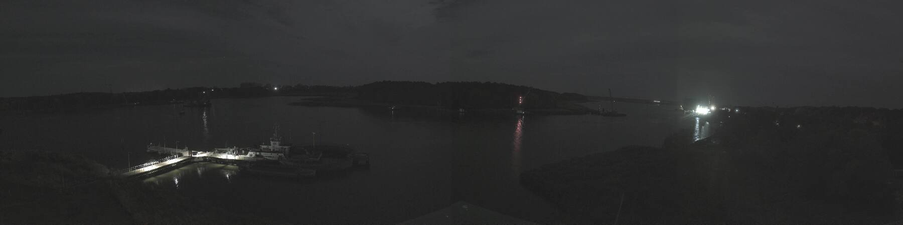
Webcams perto de Zieseberg


História ao redor de Zieseberg
Cidades perto de Zieseberg
- Universitäts- und Hansestadt Greifswalda 23 km
- Świnoujściea 36 km
- Stralsunda 53 km
- Neubrandenburga 62 km
- Policea 76 km