Zieseberg
49 m161 ft
Colina · Alemania
Der Zieseberg, früher auch Ziesaberg, ist eine an ihrer höchsten Stelle 49 Meter hohe und mit Wald bewachsene, markante Erhebung zwischen Wolgast und Hohendorf im Nordosten des Landes Mecklenburg-Vorpommern.
De Wikipedia en alemán, CC BY-SA · Leer el artículo
En la cumbre · pronóstico para las 0:00
11 °CMayormente despejado · viento de 13 km/h del S
 Verla en 3D
Clima en la cumbre de Zieseberg, 49 m
- 0:0011 °CS 13 km/h–
- 3:009 °CS 14 km/h–
- 6:009 °CSO 8 km/h–
- 9:0010 °CO 5 km/h–
- 12:0013 °CNO 13 km/h–
- 15:0014 °CNO 16 km/h–
- 18:0011 °CO 5 km/h–
- 21:009 °CO 10 km/h–
| Día | Cielo | Máx. / mín. | Lluvia | Viento hasta |
|---|---|---|---|---|
| Hoy | Parcialmente nublado | 14 °C / 9 °C | – | 16 km/h |
| jue, 29 oct | Nublado | 13 °C / 7 °C | – | 11 km/h |
| vie, 30 oct | Nublado | 11 °C / 8 °C | – | 10 km/h |
| sáb, 31 oct | Nublado | 11 °C / 10 °C | – | 11 km/h |
| dom, 1 nov | Nublado | 11 °C / 9 °C | – | 8 km/h |
| lun, 2 nov | Nublado | 11 °C / 8 °C | – | 10 km/h |
| mar, 3 nov | Parcialmente nublado | 10 °C / 8 °C | – | 14 km/h |
Pronóstico de MET Norway (CC BY 4.0), actualizado a las 19:29 CET. Horas locales.
Ficha técnica
- Tipo
- Colina
- Altitud sobre el nivel del mar
- 49 m (161 ft)
- País
- Alemania
- Coordenadas
- 54.038°N 13.748°E
- Fuente
- Wikidata, CC0
Zieseberg
49 Meter hohe mit Wald bewachsene Erhebung zwischen Wolgast und Hohendorf im Nordosten von Mecklenburg-Vorpommern
Der Zieseberg, früher auch Ziesaberg, ist eine an ihrer höchsten Stelle 49 Meter hohe und mit Wald bewachsene, markante Erhebung zwischen Wolgast und Hohendorf im Nordosten des Landes Mecklenburg-Vorpommern. Der Berg, nach dem Bach Ziese benannt, ist weithin sichtbar und befindet sich zwischen der Bundesstraße 111 und der Bahnlinie von Züssow nach Wolgast in der Nähe der Ziesemündung in den Peenestrom.
De Wikipedia en alemán, CC BY-SA · Leer el artículo
Picos cerca de Zieseberg
- Streckelsberg58 m · a 17 kmEn el mapa
- Golm69 m · a 34 kmEn el mapa
- Rugard91 m · a 47 kmEn el mapa
- Piekberg161 m · a 58 kmEn el mapa
- Königsstuhl118 m · a 60 kmEn el mapa
- Bauerberg23 m · a 8,2 kmEn el mapa
- Mühlberg24 m · a 10 kmEn el mapa
- Hoher Zwerg43 m · a 11 kmEn el mapa
- Karnickelberg26 m · a 12 kmEn el mapa
- Hoher Berg (Wusterhusen)48 m · a 12 kmEn el mapa
Montañas más altas de Alemania
- Zugspitze2962 mEn el mapa
- Hochwanner2744 mEn el mapa
- Dreitorspitze2682 mEn el mapa
- Hochkalter2607 mEn el mapa
- Biberkopf2599 mEn el mapa
- Großer Hundstod2594 mEn el mapa
- Hochvogel2592 mEn el mapa
- Östliche Karwendelspitze2538 mEn el mapa
- Hocheisspitze2523 mEn el mapa
- Hoher Göll2522 mEn el mapa
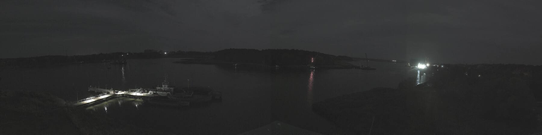
Cámaras web cerca de Zieseberg


Historia alrededor de Zieseberg
Ciudades cerca de Zieseberg
- Universitäts- und Hansestadt Greifswalda 23 km
- Świnoujściea 36 km
- Stralsunda 53 km
- Neubrandenburga 62 km
- Policea 76 km