Zieseberg
49 m161 ft
Hill · Germany
Der Zieseberg, früher auch Ziesaberg, ist eine an ihrer höchsten Stelle 49 Meter hohe und mit Wald bewachsene, markante Erhebung zwischen Wolgast und Hohendorf im Nordosten des Landes Mecklenburg-Vorpommern.
From German Wikipedia, CC BY-SA · Read the article
At the summit · forecast for 4:00 AM
8 °CCloudy · wind 14 km/h from the S
 See it in 3D
Weather at the summit of Zieseberg, 49 m
- 4:00 AM8 °CS 14 km/h–
- 7:00 AM8 °CS 18 km/h–
- 10:00 AM9 °CS 16 km/h–
- 1:00 PM11 °CS 18 km/h–
- 4:00 PM11 °CS 18 km/h–
- 7:00 PM9 °CSE 14 km/h–
- 10:00 PM9 °CS 14 km/h–
- 1:00 AM8 °CS 14 km/h–
| Day | Sky | High / low | Rain | Wind up to |
|---|---|---|---|---|
| Today | Cloudy | 11 °C / 8 °C | – | 19 km/h |
| Wed, Oct 28 | Cloudy | 13 °C / 7 °C | 0.1 mm | 17 km/h |
| Thu, Oct 29 | Cloudy | 12 °C / 7 °C | – | 11 km/h |
| Fri, Oct 30 | Cloudy | 12 °C / 9 °C | – | 9 km/h |
| Sat, Oct 31 | Cloudy | 12 °C / 9 °C | – | 8 km/h |
| Sun, Nov 1 | Cloudy | 11 °C / 8 °C | – | 11 km/h |
| Mon, Nov 2 | Cloudy | 11 °C / 8 °C | – | 17 km/h |
Forecast by MET Norway (CC BY 4.0), updated 03:30 AM GMT+1. Times are local.
Facts
- What it is
- Hill
- Height above sea level
- 49 m (161 ft)
- Country
- Germany
- Coordinates
- 54.038°N 13.748°E
- Source
- Wikidata, CC0
Zieseberg
49 Meter hohe mit Wald bewachsene Erhebung zwischen Wolgast und Hohendorf im Nordosten von Mecklenburg-Vorpommern
Der Zieseberg, früher auch Ziesaberg, ist eine an ihrer höchsten Stelle 49 Meter hohe und mit Wald bewachsene, markante Erhebung zwischen Wolgast und Hohendorf im Nordosten des Landes Mecklenburg-Vorpommern. Der Berg, nach dem Bach Ziese benannt, ist weithin sichtbar und befindet sich zwischen der Bundesstraße 111 und der Bahnlinie von Züssow nach Wolgast in der Nähe der Ziesemündung in den Peenestrom.
From German Wikipedia, CC BY-SA · Read the article
Peaks near Zieseberg
- Streckelsberg58 m · 17 km awayOn the map
- Golm69 m · 34 km awayOn the map
- Rugard91 m · 47 km awayOn the map
- Piekberg161 m · 58 km awayOn the map
- Königsstuhl118 m · 60 km awayOn the map
- Bauerberg23 m · 8.2 km awayOn the map
- Mühlberg24 m · 10 km awayOn the map
- Hoher Zwerg43 m · 11 km awayOn the map
- Karnickelberg26 m · 12 km awayOn the map
- Hoher Berg (Wusterhusen)48 m · 12 km awayOn the map
Highest mountains in Germany
- Zugspitze2,962 mOn the map
- Hochwanner2,744 mOn the map
- Dreitorspitze2,682 mOn the map
- Hochkalter2,607 mOn the map
- Biberkopf2,599 mOn the map
- Großer Hundstod2,594 mOn the map
- Hochvogel2,592 mOn the map
- Östliche Karwendelspitze2,538 mOn the map
- Hocheisspitze2,523 mOn the map
- Hoher Göll2,522 mOn the map
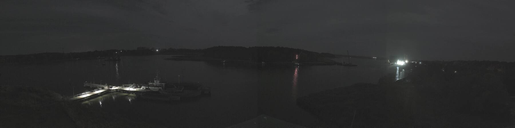
Webcams near Zieseberg


History around Zieseberg
Towns near Zieseberg
- Universitäts- und Hansestadt Greifswald23 km away
- Świnoujście36 km away
- Stralsund53 km away
- Neubrandenburg62 km away
- Police76 km away