Kofel
1.342 m4.403 pés
Montanha · Alpes de Ammergau · Alemanha
The Kofel is a 1,342-metre (4,403 ft) mountain in the Bavarian Alps of Germany. With its distinctive white head it is the signature mountain of the town of Oberammergau, from which the summit is only about one km away.
Da Wikipedia, CC BY-SA · Ler o artigo
No cume · previsão para 16:00
12 °CCéu limpo · vento de 4 km/h de NE
 Ver em 3D
Clima no cume de Kofel, 1.342 m
- 16:0012 °CNE 4 km/h–
- 19:007 °CSO 4 km/h–
- 22:005 °CSO 7 km/h–
- 1:004 °CSO 10 km/h–
- 4:004 °CSO 13 km/h–
- 7:003 °CSO 10 km/h0,4 mm
- 10:009 °CNO 14 km/h3,7 mm
- 13:006 °CNO 12 km/h2,7 mm
| Dia | Céu | Máx. / mín. | Chuva | Vento até |
|---|---|---|---|---|
| qua., 28 de out. | Chuva forte | 9 °C / 3 °C | 8,3 mm | 14 km/h |
| qui., 29 de out. | Parcialmente nublado | 7 °C / 2 °C | – | 14 km/h |
| sex., 30 de out. | Céu limpo | 6 °C / -2 °C | – | 5 km/h |
| sáb., 31 de out. | Poucas nuvens | 6 °C / -3 °C | – | 7 km/h |
| dom., 1 de nov. | Céu limpo | 9 °C / -3 °C | – | 5 km/h |
| seg., 2 de nov. | Céu limpo | 6 °C / -1 °C | – | 5 km/h |
| ter., 3 de nov. | Poucas nuvens | 5 °C / -4 °C | – | 4 km/h |
Previsão: MET Norway (CC BY 4.0), atualizada às 06:20 GMT+1. Horários locais.
Ficha técnica
- Tipo
- Montanha
- Altitude acima do nível do mar
- 1.342 m (4.403 pés)
- Cordilheira
- Alpes de Ammergau
- País
- Alemanha
- Coordenadas
- 47.587°N 11.060°E
- Fonte
- Wikidata, CC0
Kofel
Mountain in the Bavarian Alps, Germany
The Kofel is a 1,342-metre (4,403 ft) mountain in the Bavarian Alps of Germany. With its distinctive white head it is the signature mountain of the town of Oberammergau, from which the summit is only about one km away. Due to its prominent location and unique shape it can be identified from a considerable distance both from the direction of Ettal and that of Unterammergau.
Da Wikipedia, CC BY-SA · Ler o artigo
Picos perto de Kofel
- Zugspitze2.962 m · a 19 kmNo mapa
- Schneefernerkopf2.874 m · a 21 kmNo mapa
- Hochwanner2.744 m · a 21 kmNo mapa
- Daniel2.340 m · a 22 kmNo mapa
- Thaneller2.341 m · a 31 kmNo mapa
- Gehrenspitze2.163 m · a 32 kmNo mapa
- Kellenspitze2.238 m · a 34 kmNo mapa
- Birkkarspitze2.749 m · a 34 kmNo mapa
- Gimpel2.173 m · a 35 kmNo mapa
- Rote Flüh2.108 m · a 35 kmNo mapa
Os mais altos de Alpes de Ammergau
- Daniel2.340 mNo mapa
- Plattberg2.247 mNo mapa
- Kreuzspitze2.185 mNo mapa
- Geierköpfe2.161 mNo mapa
- Ammergauer Hochplatte2.082 mNo mapa
- Friederspitz2.049 mNo mapa
- Säuling2.047 mNo mapa
- Kramerspitz1.985 mNo mapa
- Kofel1.342 mNo mapa
Montanhas mais altas de Alemanha
- Zugspitze2.962 mNo mapa
- Hochwanner2.744 mNo mapa
- Dreitorspitze2.682 mNo mapa
- Hochkalter2.607 mNo mapa
- Biberkopf2.599 mNo mapa
- Grosser Hundstod2.594 mNo mapa
- Hochvogel2.592 mNo mapa
- Östliche Karwendelspitze2.538 mNo mapa
- Hocheisspitze2.523 mNo mapa
- Hoher Göll2.522 mNo mapa
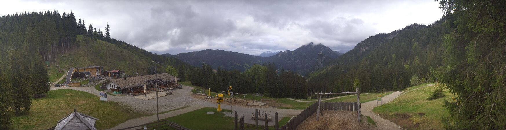
Webcams perto de Kofel


História ao redor de Kofel
Cidades perto de Kofel
- Garmisch-Partenkirchena 11 km
- Füssena 27 km
- Weilheima 29 km
- Penzberga 30 km
- Telfsa 31 km
- Marktoberdorfa 39 km