Lohrberg (Frankfurt)
185 m607 pés
Montanha · Alemanha
The Lohrberg is a hill about 185 m (607 ft) high in the city of Frankfurt, Hesse, Germany. It is considered Frankfurt's Hausberg and is home to the only remaining vineyard within the city limits.
Da Wikipedia, CC BY-SA · Ler o artigo
No cume · previsão para 21:00
6 °CCéu limpo · vento de 5 km/h de NO
 Ver em 3D
Clima no cume de Lohrberg (Frankfurt), 185 m
- 21:006 °CNO 5 km/h–
- 0:005 °CNO 4 km/h–
- 3:005 °CN 4 km/h–
- 6:004 °CN 4 km/h–
- 9:007 °CNE 4 km/h–
- 12:0011 °CNE 5 km/h–
- 15:0013 °CNE 5 km/h–
- 18:009 °CN 7 km/h–
| Dia | Céu | Máx. / mín. | Chuva | Vento até |
|---|---|---|---|---|
| qui., 29 de out. | Parcialmente nublado | 13 °C / 4 °C | – | 7 km/h |
| sex., 30 de out. | Parcialmente nublado | 13 °C / 5 °C | – | 12 km/h |
| sáb., 31 de out. | Nublado | 9 °C / 3 °C | – | 13 km/h |
| dom., 1 de nov. | Nublado | 9 °C / 5 °C | 0,2 mm | 13 km/h |
| seg., 2 de nov. | Parcialmente nublado | 8 °C / 2 °C | – | 9 km/h |
| ter., 3 de nov. | Parcialmente nublado | 9 °C / 1 °C | – | 12 km/h |
| qua., 4 de nov. | Céu limpo | 10 °C / 2 °C | – | 10 km/h |
Previsão: MET Norway (CC BY 4.0), atualizada às 20:20 GMT+1. Horários locais.
Ficha técnica
- Tipo
- Montanha
- Altitude acima do nível do mar
- 185 m (607 pés)
- País
- Alemanha
- Coordenadas
- 50.151°N 8.729°E
- Fonte
- Wikidata, CC0
Lohrberg (Frankfurt am Main)
Hill in Germany
The Lohrberg is a hill about 185 m (607 ft) high in the city of Frankfurt, Hesse, Germany. It is considered Frankfurt's Hausberg and is home to the only remaining vineyard within the city limits. The Lohrberg belongs to the Seckbach quarter and is part of the Berger Rücken ridge, which stretches in a shallow U-shape from Berkersheim to beyond Bergen towards Maintal.
Da Wikipedia, CC BY-SA · Ler o artigo
Picos perto de Lohrberg (Frankfurt)
- Hünerberg375 m · a 16 kmNo mapa
- Gickelsburg471 m · a 16 kmNo mapa
- Bleibeskopf480 m · a 17 kmNo mapa
- Herzberg591 m · a 18 kmNo mapa
- Roßkopf (Taunus)632 m · a 19 kmNo mapa
- Altkönig798 m · a 19 kmNo mapa
- Kolbenberg690 m · a 20 kmNo mapa
- Großer Feldberg879 m · a 21 kmNo mapa
- Kleiner Feldberg825 m · a 22 kmNo mapa
- Weilsberg701 m · a 23 kmNo mapa
Montanhas mais altas de Alemanha
- Zugspitze2.962 mNo mapa
- Hochwanner2.744 mNo mapa
- Dreitorspitze2.682 mNo mapa
- Hochkalter2.607 mNo mapa
- Biberkopf2.599 mNo mapa
- Grosser Hundstod2.594 mNo mapa
- Hochvogel2.592 mNo mapa
- Östliche Karwendelspitze2.538 mNo mapa
- Hocheisspitze2.523 mNo mapa
- Hoher Göll2.522 mNo mapa
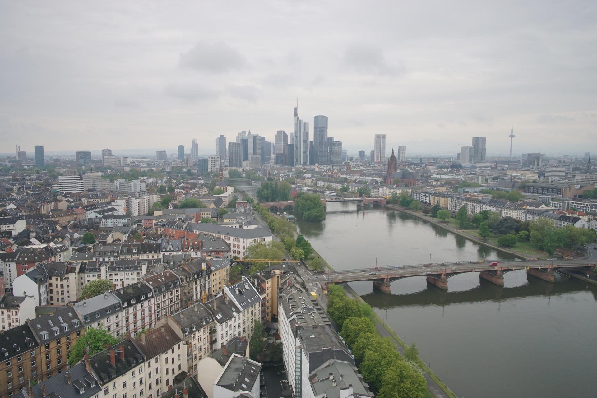
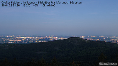
Webcams perto de Lohrberg (Frankfurt)


História ao redor de Lohrberg (Frankfurt)
Cidades perto de Lohrberg (Frankfurt)
- Bad Vilbela 3,2 km
- Frankfurt am Maina 5,1 km
- Offenbacha 6,2 km
- Maintala 7,4 km
- Mühlheim am Maina 8,3 km
- Karbena 9,4 km