Lohrberg (Frankfurt)
185 m607 ft
Mountain · Germany
The Lohrberg is a hill about 185 m (607 ft) high in the city of Frankfurt, Hesse, Germany. It is considered Frankfurt's Hausberg and is home to the only remaining vineyard within the city limits.
From Wikipedia, CC BY-SA · Read the article
At the summit · forecast for 8:00 AM
5 °CPartly cloudy · wind 11 km/h from the N
 See it in 3D
Weather at the summit of Lohrberg (Frankfurt), 185 m
- 8:00 AM5 °CN 11 km/h–
- 11:00 AM10 °CNE 10 km/h–
- 2:00 PM13 °CE 10 km/h–
- 5:00 PM10 °CNE 8 km/h–
- 8:00 PM7 °CN 12 km/h–
- 11:00 PM5 °CN 10 km/h–
- 2:00 AM4 °CN 9 km/h–
- 5:00 AM3 °CN 9 km/h–
| Day | Sky | High / low | Rain | Wind up to |
|---|---|---|---|---|
| Today | Cloudy | 13 °C / 5 °C | – | 12 km/h |
| Sat, Oct 31 | Cloudy | 9 °C / 2 °C | – | 14 km/h |
| Sun, Nov 1 | Cloudy | 9 °C / 5 °C | – | 12 km/h |
| Mon, Nov 2 | Cloudy | 8 °C / 1 °C | 0.1 mm | 6 km/h |
| Tue, Nov 3 | Partly cloudy | 8 °C / 4 °C | – | 14 km/h |
| Wed, Nov 4 | Partly cloudy | 9 °C / 2 °C | – | 16 km/h |
| Thu, Nov 5 | Clear | 9 °C / 2 °C | – | 11 km/h |
Forecast by MET Norway (CC BY 4.0), updated 02:17 AM GMT+1. Times are local.
Facts
- What it is
- Mountain
- Height above sea level
- 185 m (607 ft)
- Country
- Germany
- Coordinates
- 50.151°N 8.729°E
- Source
- Wikidata, CC0
Lohrberg (Frankfurt am Main)
Hill in Germany
The Lohrberg is a hill about 185 m (607 ft) high in the city of Frankfurt, Hesse, Germany. It is considered Frankfurt's Hausberg and is home to the only remaining vineyard within the city limits. The Lohrberg belongs to the Seckbach quarter and is part of the Berger Rücken ridge, which stretches in a shallow U-shape from Berkersheim to beyond Bergen towards Maintal.
From Wikipedia, CC BY-SA · Read the article
Peaks near Lohrberg (Frankfurt)
- Hünerberg375 m · 16 km awayOn the map
- Gickelsburg471 m · 16 km awayOn the map
- Bleibeskopf480 m · 17 km awayOn the map
- Herzberg591 m · 18 km awayOn the map
- Roßkopf (Taunus)632 m · 19 km awayOn the map
- Altkönig798 m · 19 km awayOn the map
- Kolbenberg690 m · 20 km awayOn the map
- Großer Feldberg879 m · 21 km awayOn the map
- Kleiner Feldberg825 m · 22 km awayOn the map
- Weilsberg701 m · 23 km awayOn the map
Highest mountains in Germany
- Zugspitze2,962 mOn the map
- Hochwanner2,744 mOn the map
- Dreitorspitze2,682 mOn the map
- Hochkalter2,607 mOn the map
- Biberkopf2,599 mOn the map
- Großer Hundstod2,594 mOn the map
- Hochvogel2,592 mOn the map
- Östliche Karwendelspitze2,538 mOn the map
- Hocheisspitze2,523 mOn the map
- Hoher Göll2,522 mOn the map
Webcams near Lohrberg (Frankfurt)
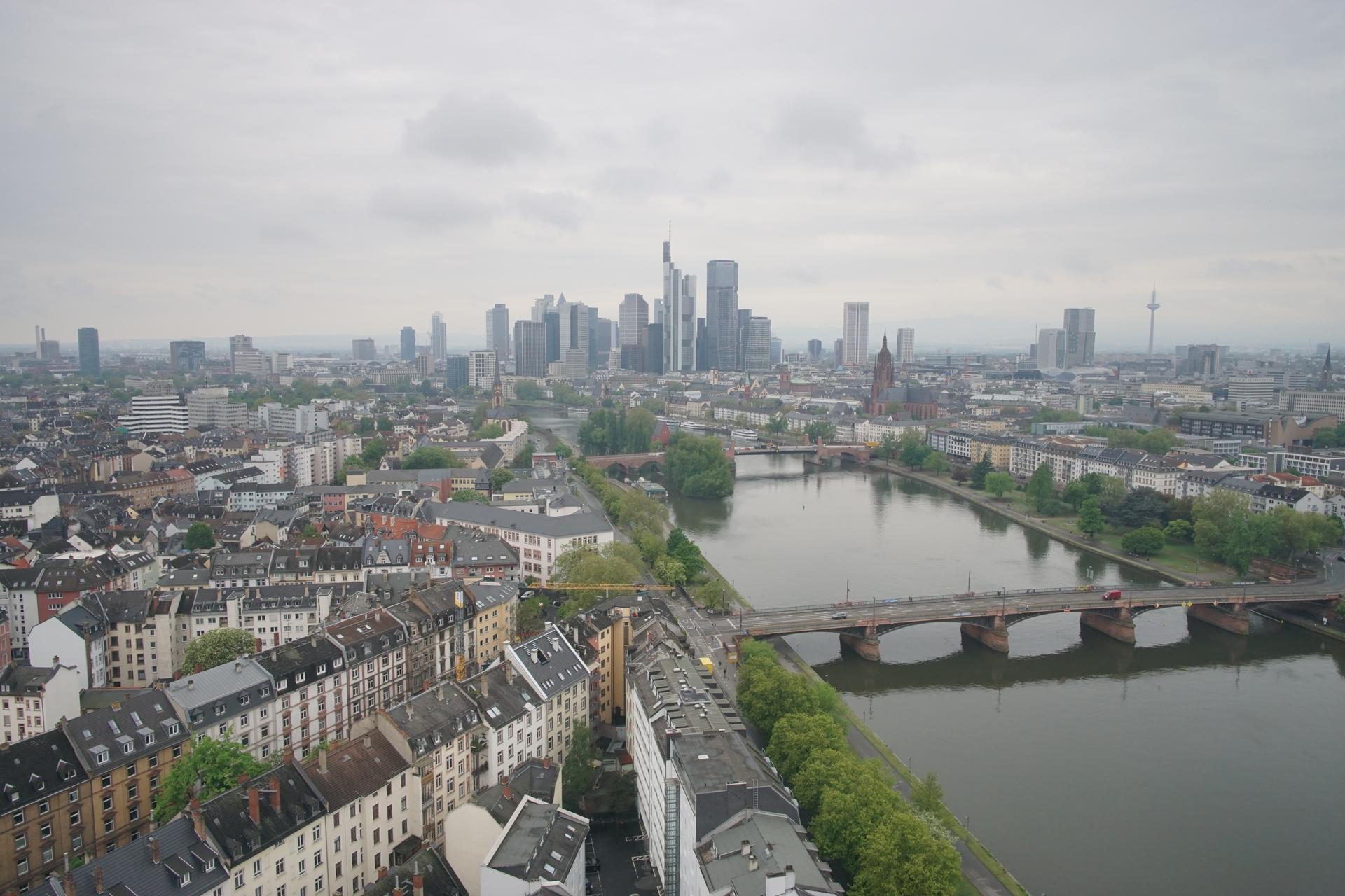


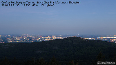
History around Lohrberg (Frankfurt)
Towns near Lohrberg (Frankfurt)
- Bad Vilbel3.2 km away
- Frankfurt am Main5.1 km away
- Offenbach6.2 km away
- Maintal7.4 km away
- Mühlheim am Main8.3 km away
- Karben9.4 km away