德国的山
Ehrenberg
528 米1,732 英尺
丘陵 · 图林根林山 · 德国
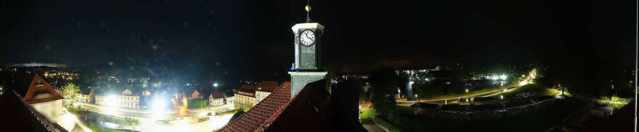
The Ehrenberg is a hill to the east of Ilmenau, rising to a height of 528 metres and standing opposite the Tragberg. The border between Ilmenau and Langewiesen runs over its summit, which is marked by a large wooden cross.
来自Wikipedia,CC BY-SA · 阅读文章
山顶 · 4:00 的预报
8 °C阴 · 西南风 19 km/h
 3D 查看
Ehrenberg山顶天气,528 米
- 4:008 °C西南 19 km/h–
- 7:007 °C西南 17 km/h–
- 10:0010 °C西南 18 km/h–
- 13:0013 °C西南 19 km/h–
- 16:0012 °C南 15 km/h–
- 19:0010 °C南 17 km/h–
- 22:009 °C西南 19 km/h–
- 1:007 °C西南 13 km/h–
| 日期 | 天气 | 最高 / 最低 | 雨 | 最大风速 |
|---|---|---|---|---|
| 今天 | 多云 | 13 °C / 7 °C | – | 20 km/h |
| 10月28日周三 | 少云 | 11 °C / 4 °C | 3.4 mm | 17 km/h |
| 10月29日周四 | 晴 | 11 °C / 3 °C | – | 10 km/h |
| 10月30日周五 | 多云 | 10 °C / 4 °C | – | 8 km/h |
| 10月31日周六 | 多云 | 9 °C / 3 °C | – | 8 km/h |
| 11月1日周日 | 多云 | 12 °C / 1 °C | 0.1 mm | 13 km/h |
| 11月2日周一 | 多云 | 7 °C / 4 °C | 0.1 mm | 14 km/h |
预报来自 MET Norway(CC BY 4.0),更新于 GMT+1 02:17。时间均为当地时间。
基本信息
Ehrenberg (Ilmenau)
The Ehrenberg is a hill to the east of Ilmenau, rising to a height of 528 metres and standing opposite the Tragberg. The border between Ilmenau and Langewiesen runs over its summit, which is marked by a large wooden cross. It is home to part of the campus of the Technische Universität Ilmenau and the Bundesanstalt für Wasserbau.
来自Wikipedia,CC BY-SA · 阅读文章
Ehrenberg附近的山峰
- Kickelhahn861 米 · 5 公里外地图上
- Heydaer Berg605 米 · 7.4 公里外地图上
- Großer Finsterberg944 米 · 12 公里外地图上
- Schneekopf978 米 · 13 公里外地图上
- 大贝尔山983 米 · 14 公里外地图上
- Hettstädt808 米 · 20 公里外地图上
- Großer Farmdenkopf869 米 · 20 公里外地图上
- Simmersberg781 米 · 20 公里外地图上
- Spitzer Berg790 米 · 22 公里外地图上
- Aßberg703 米 · 23 公里外地图上
图林根林山最高峰
- 大贝尔山983 米地图上
- Ruppberg866 米地图上
- Dreiherrnstein838 米地图上
- Großer Hundskopf824 米地图上
- Reischelberg821 米地图上
- Pferdeberg805 米地图上
- Kohlhieb790 米地图上
- Simmersberg781 米地图上
- Ehrenberg528 米地图上