Hohe Schule
538 米1,765 英尺
山 · Östliches Rhönvorland · 德国
The Hohe Schule, formerly also the Aalhauck, near Völkershausen in the Bavarian county of Rhön-Grabfeld is, at about 538 m above sea level (NHN), the second highest hill in the Eastern Rhön Foreland after the Wurmberg (547.7 m).
来自Wikipedia,CC BY-SA · 阅读文章
山顶 · 5:00 的预报
6 °C阴 · 南风 13 km/h
Hohe Schule山顶天气,538 米
- 5:006 °C南 13 km/h–
- 8:007 °C南 12 km/h–
- 11:0010 °C南 13 km/h–
- 14:0012 °C南 12 km/h–
- 17:009 °C南 10 km/h–
- 20:007 °C南 11 km/h–
- 23:005 °C东南 11 km/h–
- 2:005 °C东南 8 km/h0.7 mm
| 日期 | 天气 | 最高 / 最低 | 雨 | 最大风速 |
|---|---|---|---|---|
| 今天 | 阴 | 12 °C / 5 °C | – | 13 km/h |
| 10月28日周三 | 少云 | 11 °C / 2 °C | 2.1 mm | 16 km/h |
| 10月29日周四 | 晴 | 11 °C / 1 °C | – | 10 km/h |
| 10月30日周五 | 晴 | 10 °C / 1 °C | – | 6 km/h |
| 10月31日周六 | 少云 | 10 °C / 1 °C | – | 6 km/h |
| 11月1日周日 | 少云 | 10 °C / -0 °C | – | 6 km/h |
| 11月2日周一 | 多云 | 8 °C / 4 °C | – | 18 km/h |
预报来自 MET Norway(CC BY 4.0),更新于 GMT+1 02:17。时间均为当地时间。
基本信息
Hohe Schule (hill)
The Hohe Schule, formerly also the Aalhauck, near Völkershausen in the Bavarian county of Rhön-Grabfeld is, at about 538 m above sea level (NHN), the second highest hill in the Eastern Rhön Foreland after the Wurmberg (547.7 m). The area includes ramparts and finds from the Hallstatt culture and the Latene Culture, a section of the Landwehr, and the Rhine-Weser Watershed.
来自Wikipedia,CC BY-SA · 阅读文章
Hohe Schule附近的山峰
- Eiersberg349 米 · 10 公里外地图上
- Gebaberg751 米 · 12 公里外地图上
- Rother Kuppe711 米 · 14 公里外地图上
- Gangolfsberg736 米 · 15 公里外地图上
- Ellenbogen813 米 · 18 公里外地图上
- Stirnberg902 米 · 19 公里外地图上
- Steinkopf888 米 · 20 公里外地图上
- Heidelstein926 米 · 21 公里外地图上
- Buchschirm745 米 · 22 公里外地图上
- Kleiner Gleichberg641 米 · 22 公里外地图上
德国最高的山
Hohe Schule附近的网络摄像头

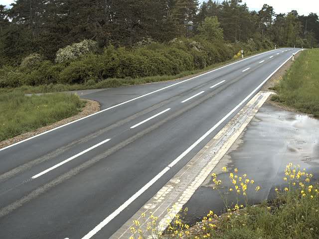
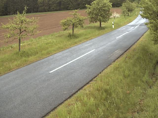
Hohe Schule周边的历史
Hohe Schule附近的城镇
- Meiningen12 公里外
- Bad Neustadt an der Saale19 公里外
- Schmalkalden28 公里外
- Suhl31 公里外
- Bad Kissingen35 公里外
- Bad Salzungen37 公里外