Hohe Schule
538 m1765 ft
Montaña · Östliches Rhönvorland · Alemania
The Hohe Schule, formerly also the Aalhauck, near Völkershausen in the Bavarian county of Rhön-Grabfeld is, at about 538 m above sea level (NHN), the second highest hill in the Eastern Rhön Foreland after the Wurmberg (547.7 m).
De Wikipedia, CC BY-SA · Leer el artículo
En la cumbre · pronóstico para las 20:00
7 °CDespejado · viento de 11 km/h del S
Clima en la cumbre de Hohe Schule, 538 m
- 20:007 °CS 11 km/h–
- 23:005 °CSE 10 km/h–
- 2:005 °CS 8 km/h0,3 mm
- 5:007 °CN 10 km/h0,8 mm
- 8:009 °CNO 11 km/h–
- 11:009 °CNO 16 km/h–
- 14:0011 °CNO 13 km/h–
- 17:007 °CN 6 km/h–
| Día | Cielo | Máx. / mín. | Lluvia | Viento hasta |
|---|---|---|---|---|
| mié, 28 oct | Mayormente despejado | 11 °C / 2 °C | 1,1 mm | 16 km/h |
| jue, 29 oct | Despejado | 11 °C / 1 °C | – | 9 km/h |
| vie, 30 oct | Nublado | 10 °C / 2 °C | – | 7 km/h |
| sáb, 31 oct | Nublado | 8 °C / 1 °C | – | 9 km/h |
| dom, 1 nov | Parcialmente nublado | 8 °C / 4 °C | – | 8 km/h |
| lun, 2 nov | Nublado | 8 °C / 4 °C | 0,2 mm | 15 km/h |
| mar, 3 nov | Nublado | 7 °C / 3 °C | 0,7 mm | 17 km/h |
Pronóstico de MET Norway (CC BY 4.0), actualizado a las 18:17 CET. Horas locales.
Ficha técnica
- Tipo
- Montaña
- Altitud sobre el nivel del mar
- 538 m (1765 ft)
- Prominencia
- 145 m (476 ft)
- Cordillera
- Östliches Rhönvorland
- País
- Alemania
- Coordenadas
- 50.486°N 10.303°E
- Fuente
- Wikidata, CC0
Hohe Schule (hill)
The Hohe Schule, formerly also the Aalhauck, near Völkershausen in the Bavarian county of Rhön-Grabfeld is, at about 538 m above sea level (NHN), the second highest hill in the Eastern Rhön Foreland after the Wurmberg (547.7 m). The area includes ramparts and finds from the Hallstatt culture and the Latene Culture, a section of the Landwehr, and the Rhine-Weser Watershed.
De Wikipedia, CC BY-SA · Leer el artículo
Picos cerca de Hohe Schule
- Eiersberg349 m · a 10 kmEn el mapa
- Gebaberg751 m · a 12 kmEn el mapa
- Rother Kuppe711 m · a 14 kmEn el mapa
- Gangolfsberg736 m · a 15 kmEn el mapa
- Ellenbogen813 m · a 18 kmEn el mapa
- Stirnberg902 m · a 19 kmEn el mapa
- Steinkopf888 m · a 20 kmEn el mapa
- Heidelstein926 m · a 21 kmEn el mapa
- Buchschirm745 m · a 22 kmEn el mapa
- Kleiner Gleichberg641 m · a 22 kmEn el mapa
Montañas más altas de Alemania
- Zugspitze2962 mEn el mapa
- Hochwanner2744 mEn el mapa
- Dreitorspitze2682 mEn el mapa
- Hochkalter2607 mEn el mapa
- Biberkopf2599 mEn el mapa
- Großer Hundstod2594 mEn el mapa
- Hochvogel2592 mEn el mapa
- Östliche Karwendelspitze2538 mEn el mapa
- Hocheisspitze2523 mEn el mapa
- Hoher Göll2522 mEn el mapa
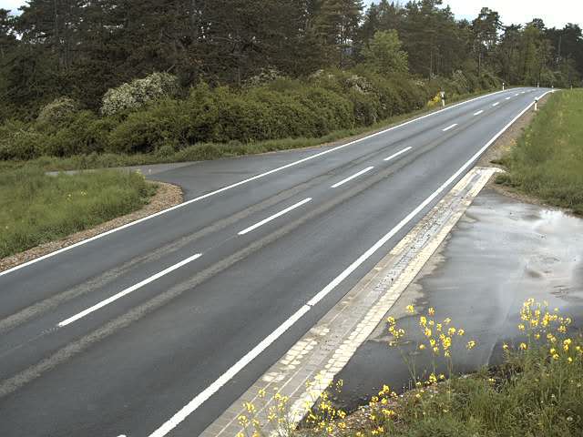
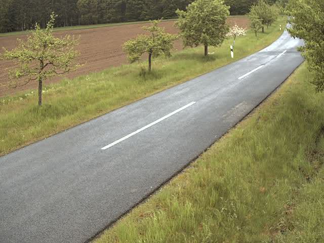
Cámaras web cerca de Hohe Schule
Historia alrededor de Hohe Schule
Ciudades cerca de Hohe Schule
- Meiningena 12 km
- Bad Neustadt an der Saalea 19 km
- Schmalkaldena 28 km
- Suhla 31 km
- Bad Kissingena 35 km
- Bad Salzungena 37 km