Montañas de Alemania
Verla en 3DEiersberg
349 m1145 ft
Montaña · Alemania
The Eiersberg is a hill in Bavaria, Germany. It is 349 metres high and located in the province of Lower Franconia, near Mittelstreu. On its slopes are the indications of human settlement from the early Ice Age.
De Wikipedia, CC BY-SA · Leer el artículo
En la cumbre · pronóstico para las 10:00
10 °CNublado · viento de 9 km/h del S
Clima en la cumbre de Eiersberg, 349 m
- 10:0010 °CS 9 km/h–
- 13:0012 °CS 12 km/h–
- 16:0013 °CS 8 km/h–
- 19:009 °CS 9 km/h–
- 22:007 °CS 7 km/h–
- 1:006 °CNE 5 km/h–
- 4:007 °CN 8 km/h2,4 mm
- 7:008 °CN 11 km/h–
| Día | Cielo | Máx. / mín. | Lluvia | Viento hasta |
|---|---|---|---|---|
| Hoy | Nublado | 13 °C / 6 °C | – | 12 km/h |
| mié, 28 oct | Mayormente despejado | 12 °C / 3 °C | 2,4 mm | 15 km/h |
| jue, 29 oct | Despejado | 12 °C / 2 °C | – | 10 km/h |
| vie, 30 oct | Despejado | 11 °C / 2 °C | – | 6 km/h |
| sáb, 31 oct | Mayormente despejado | 10 °C / 2 °C | – | 6 km/h |
| dom, 1 nov | Mayormente despejado | 11 °C / 1 °C | – | 4 km/h |
| lun, 2 nov | Parcialmente nublado | 9 °C / 5 °C | – | 16 km/h |
Pronóstico de MET Norway (CC BY 4.0), actualizado a las 02:17 CET. Horas locales.
Ficha técnica
- Tipo
- Montaña
- Altitud sobre el nivel del mar
- 349 m (1145 ft)
- País
- Alemania
- Coordenadas
- 50.397°N 10.251°E
- Fuente
- Wikidata, CC0
Picos cerca de Eiersberg
- Hohe Schule538 m · a 10 kmEn el mapa
- Gangolfsberg736 m · a 14 kmEn el mapa
- Rother Kuppe711 m · a 14 kmEn el mapa
- Feldberg570 m · a 17 kmEn el mapa
- Stirnberg902 m · a 18 kmEn el mapa
- Heidelstein926 m · a 19 kmEn el mapa
- Steinkopf888 m · a 19 kmEn el mapa
- Kreuzberg928 m · a 19 kmEn el mapa
- Himmeldunkberg888 m · a 21 kmEn el mapa
- Gebaberg751 m · a 21 kmEn el mapa
Montañas más altas de Alemania
- Zugspitze2962 mEn el mapa
- Hochwanner2744 mEn el mapa
- Dreitorspitze2682 mEn el mapa
- Hochkalter2607 mEn el mapa
- Biberkopf2599 mEn el mapa
- Großer Hundstod2594 mEn el mapa
- Hochvogel2592 mEn el mapa
- Östliche Karwendelspitze2538 mEn el mapa
- Hocheisspitze2523 mEn el mapa
- Hoher Göll2522 mEn el mapa
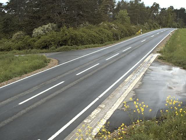
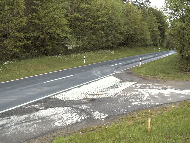
Cámaras web cerca de Eiersberg
Historia alrededor de Eiersberg
Ciudades cerca de Eiersberg
- Bad Neustadt an der Saalea 9 km
- Meiningena 22 km
- Bad Kissingena 25 km
- Schmalkaldena 39 km
- Schweinfurta 39 km
- Suhla 39 km