爱尔兰的山
Montpelier Hill
383 米1,257 英尺
山 · 威克洛山脈 · 爱尔兰
Montpelier Hill or Mountpelier, also known as Slieve Gorra, is a hill in County Dublin, Ireland, with a height of 383 metres (1,257 ft). It is at the northern edge of the Wicklow Mountains and overlooks Dublin city. On its summit is an infamous ruined sporting lodge known as the Hell Fire Club.
来自Wikipedia,CC BY-SA · 阅读文章
山顶 · 3:00 的预报
10 °C少云 · 南风 27 km/h
 3D 查看
Montpelier Hill山顶天气,383 米
- 3:0010 °C南 27 km/h–
- 6:009 °C南 26 km/h–
- 9:0011 °C东南 27 km/h–
- 12:0013 °C南 25 km/h–
- 15:0013 °C东南 21 km/h–
- 18:0010 °C东南 13 km/h–
- 21:0010 °C东南 13 km/h–
- 0:009 °C东南 13 km/h–
| 日期 | 天气 | 最高 / 最低 | 雨 | 最大风速 |
|---|---|---|---|---|
| 今天 | 阴 | 14 °C / 9 °C | – | 28 km/h |
| 10月31日周六 | 少云 | 13 °C / 7 °C | – | 13 km/h |
| 11月1日周日 | 少云 | 9 °C / 5 °C | 0.1 mm | 13 km/h |
| 11月2日周一 | 阴 | 9 °C / 7 °C | – | 15 km/h |
| 11月3日周二 | 阴 | 9 °C / 7 °C | 0.2 mm | 14 km/h |
| 11月4日周三 | 阴 | 9 °C / 8 °C | 1.4 mm | 18 km/h |
| 11月5日周四 | 阴 | 9 °C / 8 °C | 0.4 mm | 18 km/h |
预报来自 MET Norway(CC BY 4.0),更新于 GMT 19:20。时间均为当地时间。
基本信息
Montpelier Hill附近的山峰
- Tibradden Mountain467 米 · 3.6 公里外地图上
- Kilmashogue408 米 · 4.2 公里外地图上
- Three Rock448 米 · 6.1 公里外地图上
- 两石山 (爱尔兰)536 米 · 6.2 公里外地图上
- Seefingan724 米 · 7.3 公里外地图上
- Prince William's Seat555 米 · 8.2 公里外地图上
- 基普雷山757 米 · 9.2 公里外地图上
- Barnaslingan238 米 · 11 公里外地图上
- Tonduff642 米 · 11 公里外地图上
- Cupidstown Hill379 米 · 11 公里外地图上
威克洛山脈最高峰
- Lugnaquilla925 米地图上
- Mullaghcleevaun849 米地图上
- Camenabologue758 米地图上
- Carrigvore682 米地图上
- Keadeen Mountain653 米地图上
- Montpelier Hill383 米地图上
爱尔兰最高的山
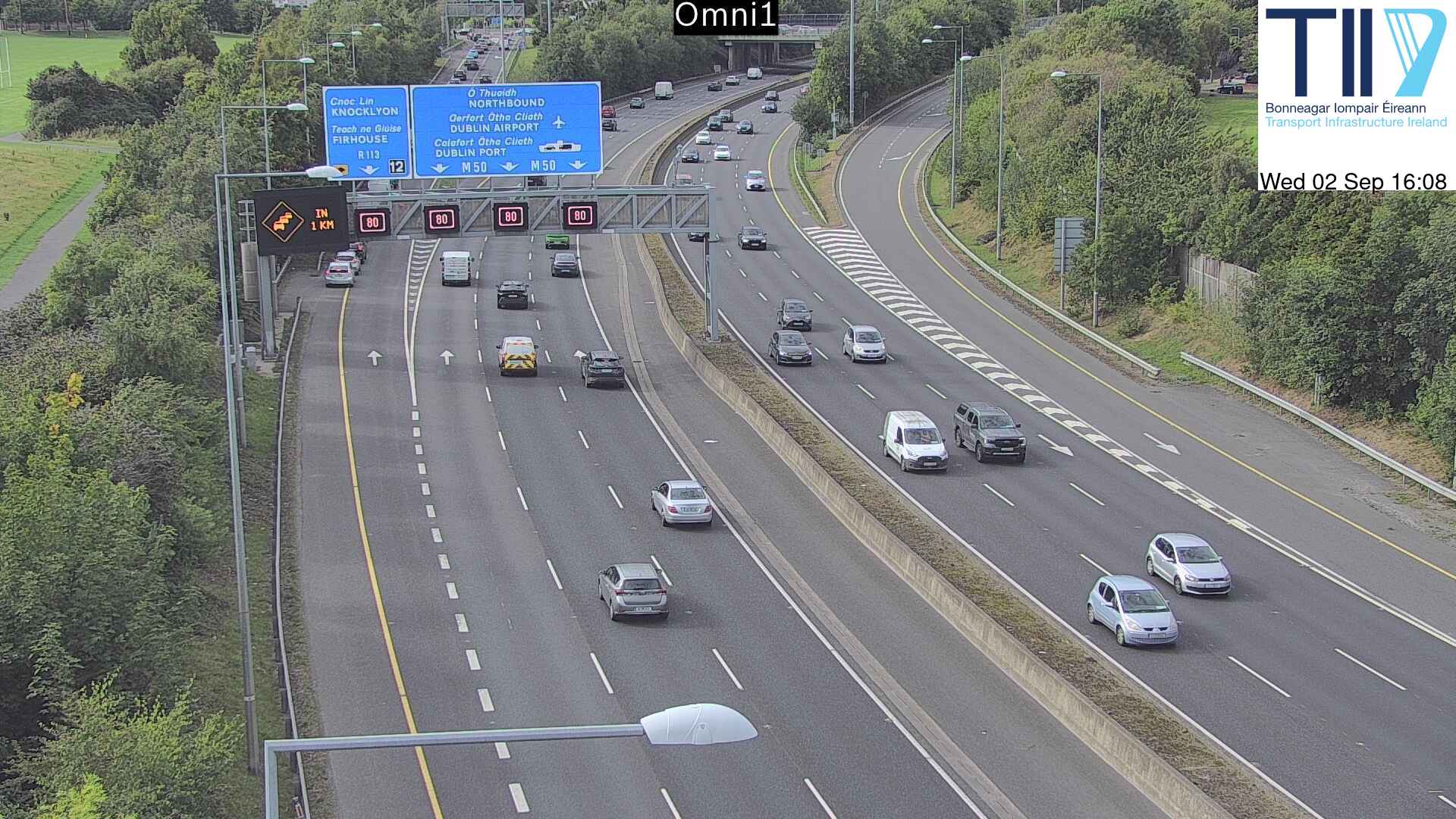
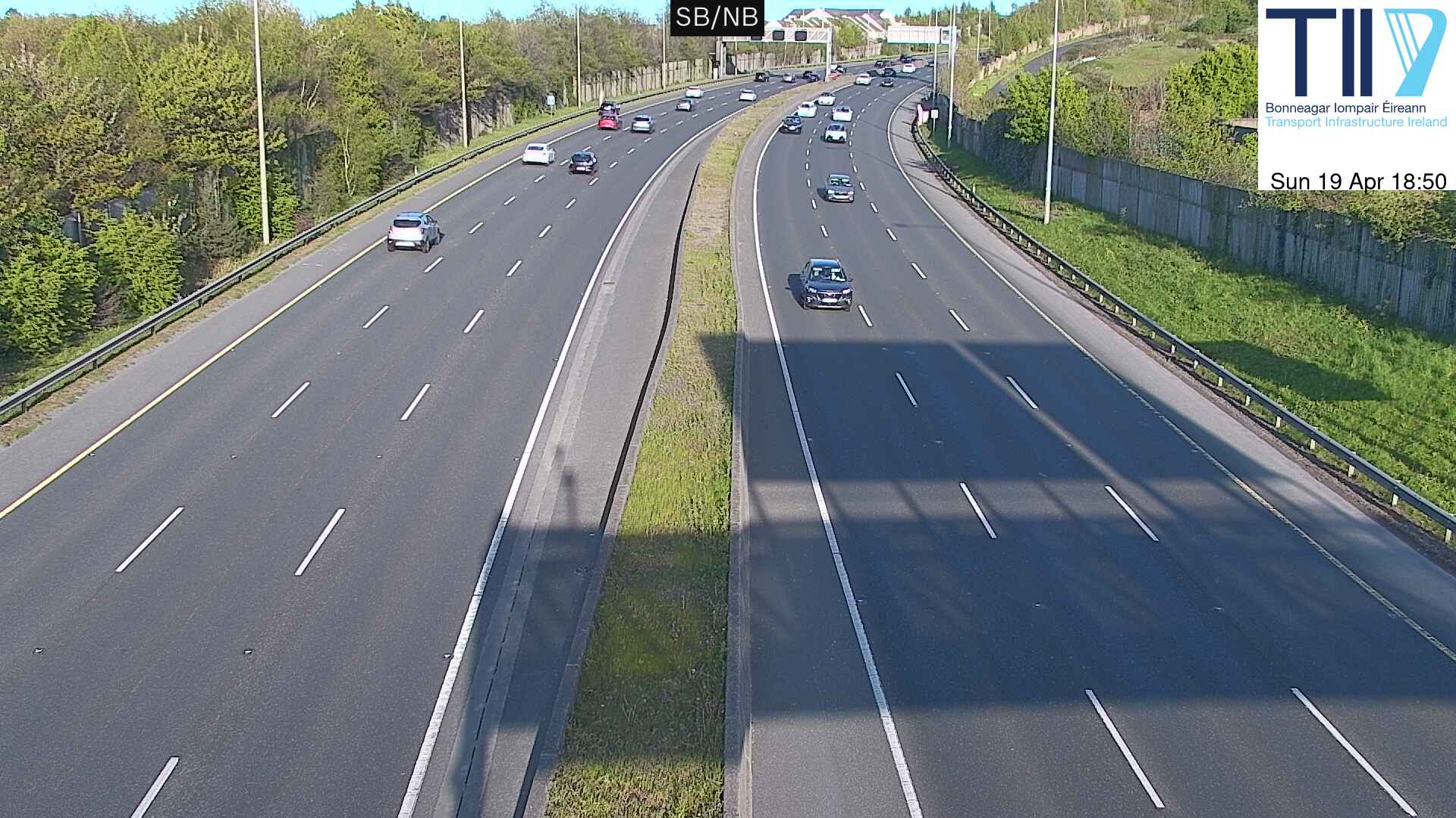
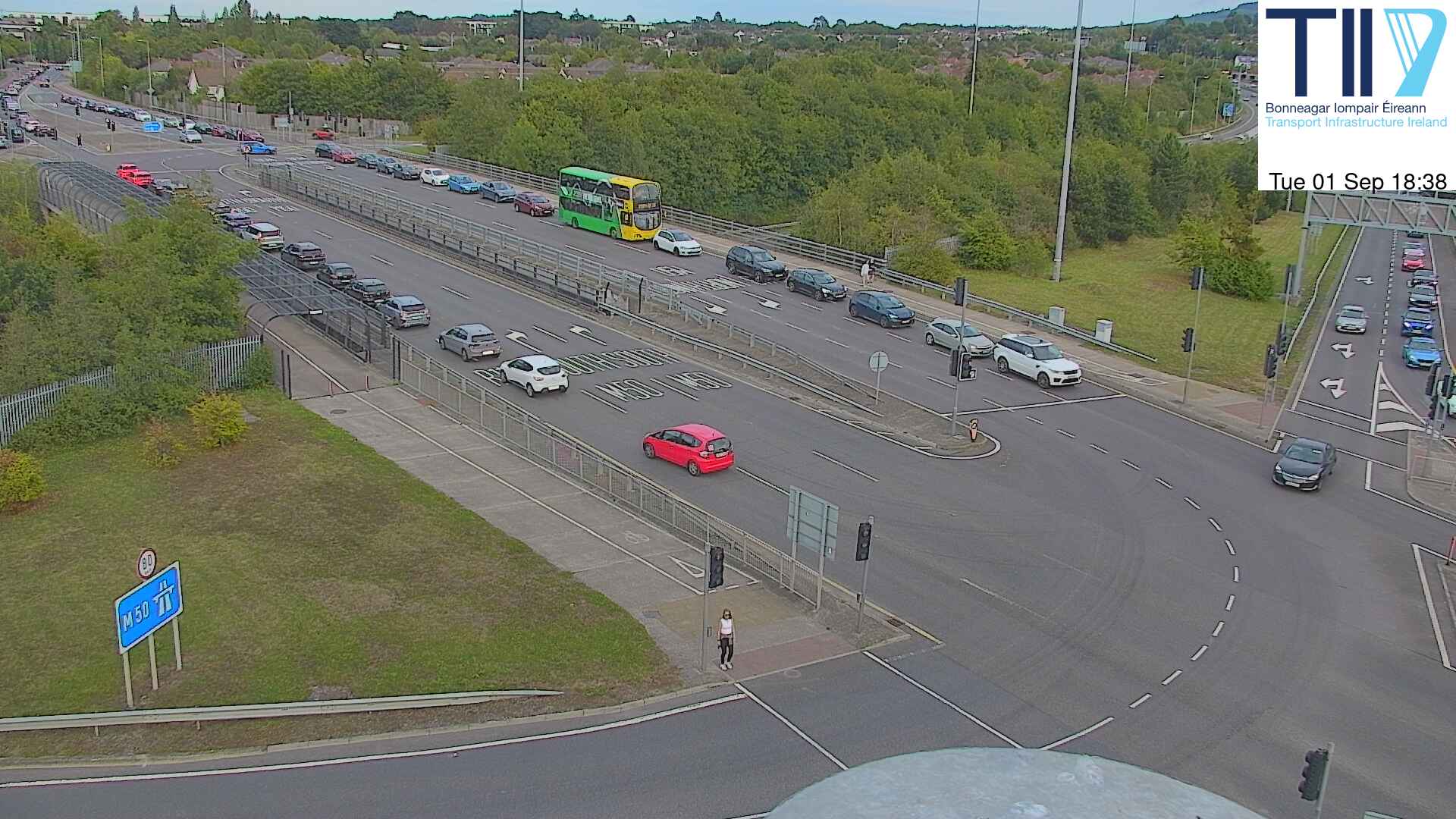
Montpelier Hill附近的网络摄像头

Montpelier Hill周边的历史
- Battle of Clontarf1014
- Battle of Islandbridge919
- 2023 Dublin riot2023
- March for a Better Way2010
- 2010 student protest in Dublin2010
- 2006 Dublin riots2006
- Katrina and the Waves win the Eurovision Song Contest with the song Love Shine a Light, the first time the UK has won the competition since 19811997
- Lansdowne Road football riot1995