Mountains in Ireland
Montpelier Hill
383 m1,257 ft
Mountain · Wicklow Mountains · Ireland
At the summit · forecast for 3:00 AM
8 °CClear · wind 30 km/h from the SW
 See it in 3D
Weather at the summit of Montpelier Hill, 383 m
- 3:00 AM8 °CSW 30 km/h–
- 6:00 AM7 °CSW 31 km/h–
- 9:00 AM7 °CSW 37 km/h0.1 mm
- 12:00 PM9 °CSW 30 km/h0.3 mm
- 3:00 PM9 °CW 26 km/h0.2 mm
- 6:00 PM7 °CSW 25 km/h–
- 9:00 PM8 °CSW 26 km/h–
- 12:00 AM8 °CSW 27 km/h–
| Day | Sky | High / low | Rain | Wind up to |
|---|---|---|---|---|
| Today | Rain | 10 °C / 7 °C | 0.6 mm | 37 km/h |
| Wed, Oct 28 | Partly cloudy | 13 °C / 8 °C | – | 29 km/h |
| Thu, Oct 29 | Partly cloudy | 12 °C / 9 °C | – | 28 km/h |
| Fri, Oct 30 | Cloudy | 13 °C / 11 °C | 2.5 mm | 21 km/h |
| Sat, Oct 31 | Rain | 13 °C / 8 °C | 4.1 mm | 13 km/h |
| Sun, Nov 1 | Clear | 9 °C / 5 °C | – | 9 km/h |
| Mon, Nov 2 | Clear | 10 °C / 5 °C | – | 11 km/h |
Forecast by MET Norway (CC BY 4.0), updated 01:17 AM GMT. Times are local.
Facts
- What it is
- Mountain
- Height above sea level
- 383 m (1,257 ft)
- Range
- Wicklow Mountains
- Country
- Ireland
- Coordinates
- 53.252°N 6.330°W
- Source
- Wikidata, CC0
Peaks near Montpelier Hill
- Tibradden Mountain467 m · 3.6 km awayOn the map
- Kilmashogue408 m · 4.2 km awayOn the map
- Three Rock448 m · 6.1 km awayOn the map
- Two Rock536 m · 6.2 km awayOn the map
- Seefingan724 m · 7.3 km awayOn the map
- Prince William's Seat555 m · 8.2 km awayOn the map
- Kippure757 m · 9.2 km awayOn the map
- Barnaslingan238 m · 11 km awayOn the map
- Tonduff642 m · 11 km awayOn the map
- Cupidstown Hill379 m · 11 km awayOn the map
Highest in the Wicklow Mountains
- Lugnaquilla925 mOn the map
- Mullaghcleevaun849 mOn the map
- Camenabologue758 mOn the map
- Carrigvore682 mOn the map
- Keadeen Mountain653 mOn the map
- Montpelier Hill383 mOn the map
Highest mountains in Ireland
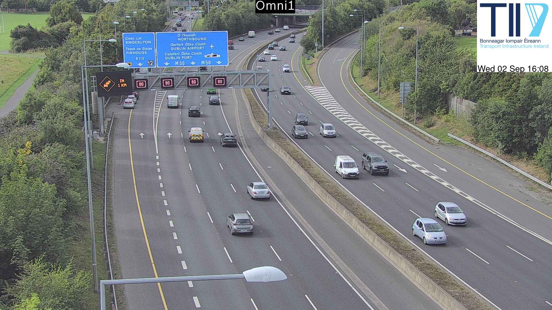
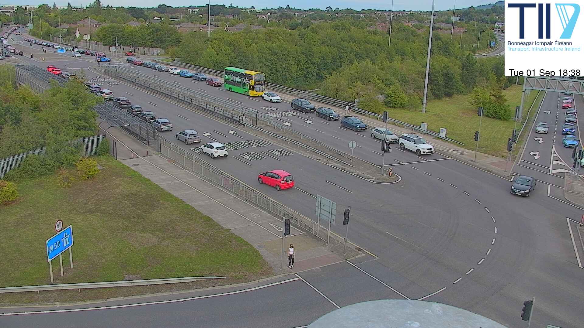
Webcams near Montpelier Hill



History around Montpelier Hill
- Battle of Clontarf1014
- Battle of Islandbridge919
- 2023 Dublin riot2023
- March for a Better Way2010
- 2010 student protest in Dublin2010
- 2006 Dublin riots2006
- Katrina and the Waves win the Eurovision Song Contest with the song Love Shine a Light, the first time the UK has won the competition since 19811997
- Lansdowne Road football riot1995
Towns near Montpelier Hill
- Tallaght4.7 km away
- Rathfarnham6.3 km away
- Sandyford7.4 km away
- Dublin11 km away
- Dún Laoghaire14 km away
- Lucan14 km away