美国的山
Sugarloaf Knob
山 · 阿勒格尼山脉 · 美国
Sugarloaf Knob is a well-known summit within Ohiopyle State Park on the south end of the Laurel Ridge. This mountain has a unique profile and can easily be recognized at different lookouts in the park and surrounding area.
来自Wikipedia,CC BY-SA · 阅读文章
山顶 · 7:00 的预报
42 °F多云 · 东南风 6 英里/小时
 3D 查看
Sugarloaf Knob天气预报
- 7:0042 °F东南 6 英里/小时–
- 10:0053 °F东 4 英里/小时–
- 13:0065 °F南 5 英里/小时–
- 16:0066 °F西南 6 英里/小时–
- 19:0054 °F东南 6 英里/小时–
- 22:0048 °F东南 6 英里/小时–
- 1:0045 °F东南 5 英里/小时–
- 4:0045 °F南 4 英里/小时–
| 日期 | 天气 | 最高 / 最低 | 雨 | 最大风速 |
|---|---|---|---|---|
| 今天 | 阴 | 66 °F / 42 °F | – | 6 英里/小时 |
| 10月29日周四 | 晴 | 66 °F / 44 °F | – | 9 英里/小时 |
| 10月30日周五 | 晴 | 59 °F / 47 °F | – | 9 英里/小时 |
| 10月31日周六 | 阴 | 64 °F / 39 °F | 0 英寸 | 2 英里/小时 |
| 11月1日周日 | 少云 | 65 °F / 45 °F | – | 7 英里/小时 |
| 11月2日周一 | 中雨 | 56 °F / 44 °F | 0.07 英寸 | 5 英里/小时 |
| 11月3日周二 | 阴 | 63 °F / 49 °F | 0.05 英寸 | 8 英里/小时 |
预报来自 MET Norway(CC BY 4.0),更新于 GMT-4 21:17。时间均为当地时间。
基本信息
Sugarloaf Knob
Mountain in Pennsylvania, United States
Sugarloaf Knob is a well-known summit within Ohiopyle State Park on the south end of the Laurel Ridge. This mountain has a unique profile and can easily be recognized at different lookouts in the park and surrounding area. The Youghiogheny River cuts beneath the "knob" and Laurel Hill creating a 1,700-foot (520 m) deep chasm.
来自Wikipedia,CC BY-SA · 阅读文章
Sugarloaf Knob附近的山峰
- 戴维斯山3,212 英尺 · 25 公里外地图上
- Negro Mountain3,213 英尺 · 25 公里外地图上
- Laurel Hill2,994 英尺 · 45 公里外地图上
- Dans Mountain2,895 英尺 · 56 公里外地图上
- 黑斯泰克山1,706 英尺 · 59 公里外地图上
- Three Mile Hill丘陵 · 34 公里外地图上
- Gregg Knob山 · 37 公里外地图上
- Little Snaggy Mountain山 · 41 公里外地图上
- Big Savage Mountain山 · 45 公里外地图上
- Chestnut Ridge丘陵 · 45 公里外地图上
阿勒格尼山脉最高峰
- 斯普鲁斯山4,863 英尺地图上
- 斯普鲁斯丘4,862 英尺地图上
- Thorny Flat4,623 英尺地图上
- North Fork Mountain4,588 英尺地图上
- Allegheny Mountain4,478 英尺地图上
- 雪南多瓦山脈4,397 英尺地图上
- White Top4,085 英尺地图上
- Peters Mountain4,073 英尺地图上
美国最高的山
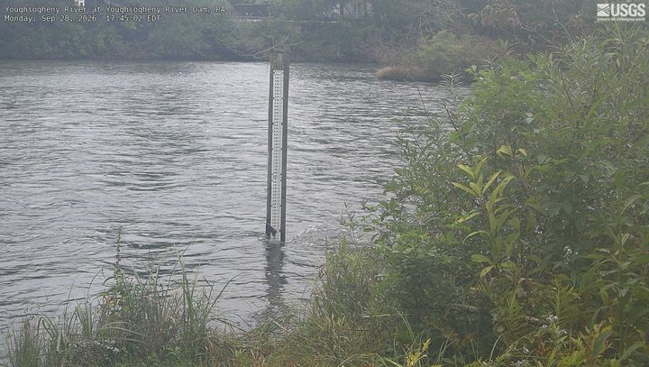
Sugarloaf Knob附近的网络摄像头
Sugarloaf Knob周边的历史
Sugarloaf Knob附近的城镇
- Brownsville42 公里外
- West Brownsville43 公里外
- Roscoe44 公里外
- California46 公里外
- Oakland46 公里外
- Belle Vernon47 公里外