Sugarloaf Knob
Mountain · Allegheny Mountains · United States
Sugarloaf Knob is a well-known summit within Ohiopyle State Park on the south end of the Laurel Ridge. This mountain has a unique profile and can easily be recognized at different lookouts in the park and surrounding area.
From Wikipedia, CC BY-SA · Read the article
At the summit · forecast for 9:00 PM
50 °FPartly cloudy · wind 5 mph from the SE
 See it in 3D
Sugarloaf Knob weather forecast
- 9:00 PM50 °FSE 5 mph–
- 12:00 AM46 °FSE 6 mph–
- 3:00 AM44 °FSE 7 mph–
- 6:00 AM43 °FSE 5 mph–
- 9:00 AM47 °FSE 5 mph–
- 12:00 PM63 °FSE 5 mph–
- 3:00 PM66 °FSW 6 mph–
- 6:00 PM59 °FSW 3 mph–
| Day | Sky | High / low | Rain | Wind up to |
|---|---|---|---|---|
| Wed, Oct 28 | Cloudy | 66 °F / 43 °F | – | 7 mph |
| Thu, Oct 29 | Clear | 66 °F / 44 °F | – | 9 mph |
| Fri, Oct 30 | Mostly clear | 58 °F / 47 °F | 0.05 in | 9 mph |
| Sat, Oct 31 | Cloudy | 64 °F / 39 °F | 0 in | 2 mph |
| Sun, Nov 1 | Mostly clear | 65 °F / 45 °F | – | 7 mph |
| Mon, Nov 2 | Rain | 56 °F / 44 °F | 0.07 in | 5 mph |
| Tue, Nov 3 | Cloudy | 63 °F / 49 °F | 0.05 in | 8 mph |
Forecast by MET Norway (CC BY 4.0), updated 07:18 PM EDT. Times are local.
Facts
- What it is
- Mountain
- Range
- Allegheny Mountains
- Country
- United States
- Coordinates
- 39.831°N 79.465°W
- Source
- Wikidata, CC0
Sugarloaf Knob
Mountain in Pennsylvania, United States
Sugarloaf Knob is a well-known summit within Ohiopyle State Park on the south end of the Laurel Ridge. This mountain has a unique profile and can easily be recognized at different lookouts in the park and surrounding area. The Youghiogheny River cuts beneath the "knob" and Laurel Hill creating a 1,700-foot (520 m) deep chasm.
From Wikipedia, CC BY-SA · Read the article
Peaks near Sugarloaf Knob
- Mount Davis3,212 ft · 25 km awayOn the map
- Negro Mountain3,213 ft · 25 km awayOn the map
- Laurel Hill2,994 ft · 45 km awayOn the map
- Dans Mountain2,895 ft · 56 km awayOn the map
- Haystack Mountain1,706 ft · 59 km awayOn the map
- Three Mile HillHill · 34 km awayOn the map
- Gregg KnobMountain · 37 km awayOn the map
- Little Snaggy MountainMountain · 41 km awayOn the map
- Big Savage MountainMountain · 45 km awayOn the map
- Chestnut RidgeHill · 45 km awayOn the map
Highest in the Allegheny Mountains
- Spruce Mountain4,863 ftOn the map
- Spruce Knob4,862 ftOn the map
- Thorny Flat4,623 ftOn the map
- North Fork Mountain4,588 ftOn the map
- Allegheny Mountain4,478 ftOn the map
- Shenandoah Mountain4,397 ftOn the map
- White Top4,085 ftOn the map
- Peters Mountain4,073 ftOn the map
Highest mountains in United States
- Denali20,308 ftOn the map
- Mount Saint Elias18,009 ftOn the map
- Mount Foraker17,402 ftOn the map
- Mount Bona16,535 ftOn the map
- Mount Blackburn16,390 ftOn the map
- Mount Sanford16,237 ftOn the map
- Mount Vancouver15,787 ftOn the map
- Mount Churchill15,636 ftOn the map
- Mount Fairweather15,325 ftOn the map
- Mount Hubbard14,951 ftOn the map
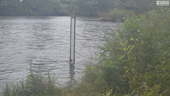
Webcams near Sugarloaf Knob
History around Sugarloaf Knob
Towns near Sugarloaf Knob
- Brownsville42 km away
- West Brownsville43 km away
- Roscoe44 km away
- California46 km away
- Oakland46 km away
- Belle Vernon47 km away