Double Mountain
7.993 ft2.436 m
Berg · Tehachapi Mountains · Vereinigte Staaten
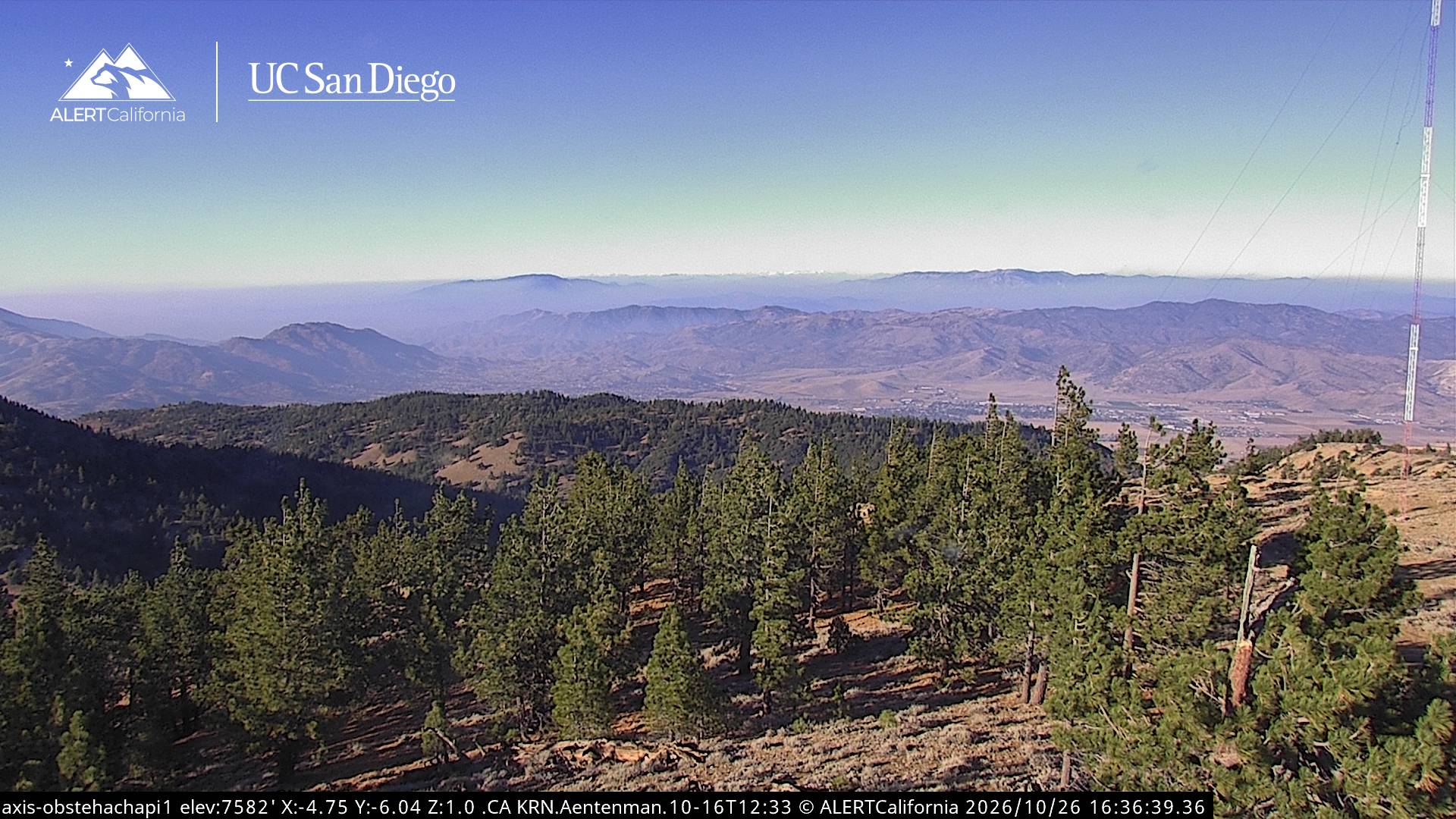
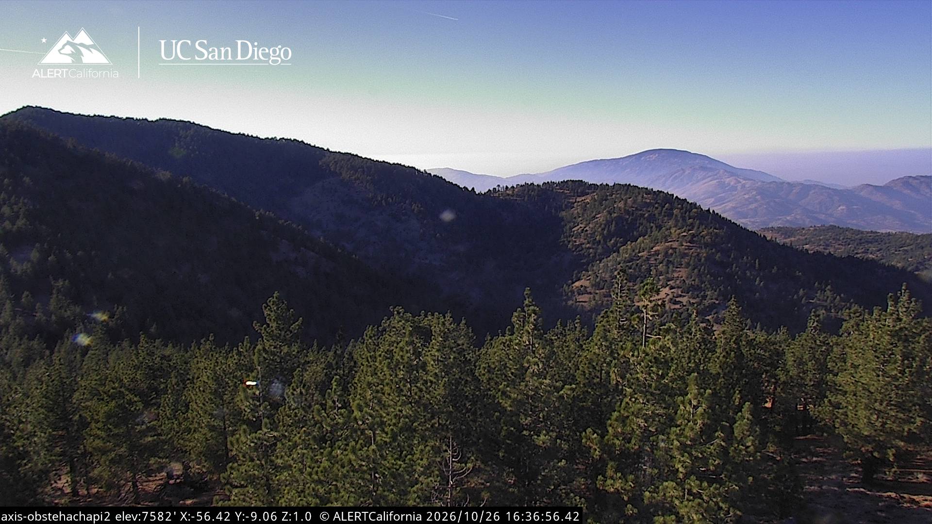
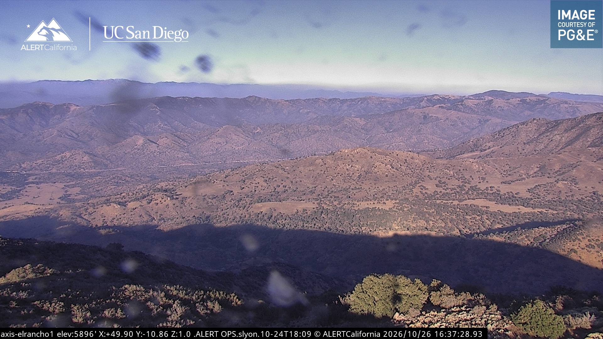
Double Mountain is the highest point in the Tehachapi Mountains of California. It has two summits of nearly the same elevation. It is south of the town of Tehachapi, Highway 58 and Tehachapi Pass. Due to its elevation, the mountain receives snowfall during the winter.
Aus Wikipedia, CC BY-SA · Artikel lesen
Der höchste Punkt von Tehachapi Mountains
Am Gipfel · Vorhersage für 16:00
51 °FKlar · Wind 10 mph aus W
 In 3D ansehen
Wetter auf dem Gipfel: Double Mountain, 7.993 ft
- 16:0051 °FW 10 mph–
- 19:0038 °FNW 7 mph–
- 22:0035 °FNW 8 mph–
- 1:0034 °FNW 9 mph–
- 4:0033 °FNW 9 mph–
- 7:0033 °FNW 7 mph–
- 10:0050 °FW 5 mph–
- 13:0056 °FW 11 mph–
| Tag | Himmel | Max. / Min. | Regen | Wind bis |
|---|---|---|---|---|
| Di., 27. Okt. | Klar | 57 °F / 33 °F | – | 15 mph |
| Mi., 28. Okt. | Teilweise bewölkt | 55 °F / 33 °F | – | 10 mph |
| Do., 29. Okt. | Bewölkt | 51 °F / 38 °F | – | 4 mph |
| Fr., 30. Okt. | Überwiegend klar | 45 °F / 33 °F | – | 6 mph |
| Sa., 31. Okt. | Regen | 41 °F / 29 °F | 0,06 in | 5 mph |
| So., 1. Nov. | Teilweise bewölkt | 33 °F / 28 °F | – | 8 mph |
| Mo., 2. Nov. | Klar | 46 °F / 27 °F | – | 8 mph |
Vorhersage von MET Norway (CC BY 4.0), aktualisiert um 12:17 GMT-7. Zeiten in Ortszeit.
Fakten
- Art
- Berg
- Höhe über dem Meer
- 7.993 ft (2.436 m)
- Schartenhöhe
- 3.821 ft (1.165 m)
- Gebirge
- Tehachapi Mountains
- Höchster Punkt von
- Tehachapi Mountains
- Koordinaten
- 35.033°N 118.487°W
- Quelle
- Wikidata, CC0
Double Mountain (California)
Mountain in California, United States
Double Mountain is the highest point in the Tehachapi Mountains of California. It has two summits of nearly the same elevation. It is south of the town of Tehachapi, Highway 58 and Tehachapi Pass. Due to its elevation, the mountain receives snowfall during the winter.
Aus Wikipedia, CC BY-SA · Artikel lesen
Gipfel nahe Double Mountain
- Bear Mountain6.916 ft · 24 km entferntAuf der Karte
- Comanche Point1.073 ft · 32 km entferntAuf der Karte
- Burnt Peak5.791 ft · 40 km entferntAuf der Karte
- Brown Peak8.095 ft · 50 km entferntAuf der Karte
- Frazier Mountain8.017 ft · 53 km entferntAuf der Karte
- Cobblestone Mountain6.738 ft · 59 km entferntAuf der Karte
- Antimony Peak6.851 ft · 60 km entferntAuf der Karte
- Cummings MountainBerg · 7,8 km entferntAuf der Karte
- Pajuela PeakBerg · 20 km entferntAuf der Karte
- Tecuya MountainBerg · 50 km entferntAuf der Karte
Die höchsten: Tehachapi Mountains
- Double Mountain7.993 ftAuf der Karte
- Bear Mountain6.916 ftAuf der Karte
Höchste Berge in Vereinigte Staaten
- Denali20.308 ftAuf der Karte
- Mount Saint Elias18.009 ftAuf der Karte
- Mount Foraker17.402 ftAuf der Karte
- Mount Bona16.535 ftAuf der Karte
- Mount Blackburn16.390 ftAuf der Karte
- Mount Sanford16.237 ftAuf der Karte
- Mount Vancouver15.787 ftAuf der Karte
- Mount Churchill15.636 ftAuf der Karte
- Mount Fairweather15.325 ftAuf der Karte
- Mount Hubbard14.951 ftAuf der Karte