Double Mountain
7,993 ft2,436 m
山 · テハチャピ山地 · アメリカ合衆国
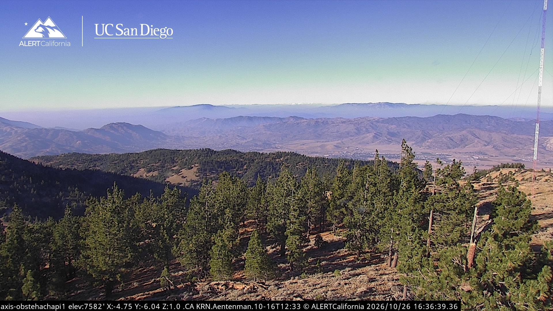
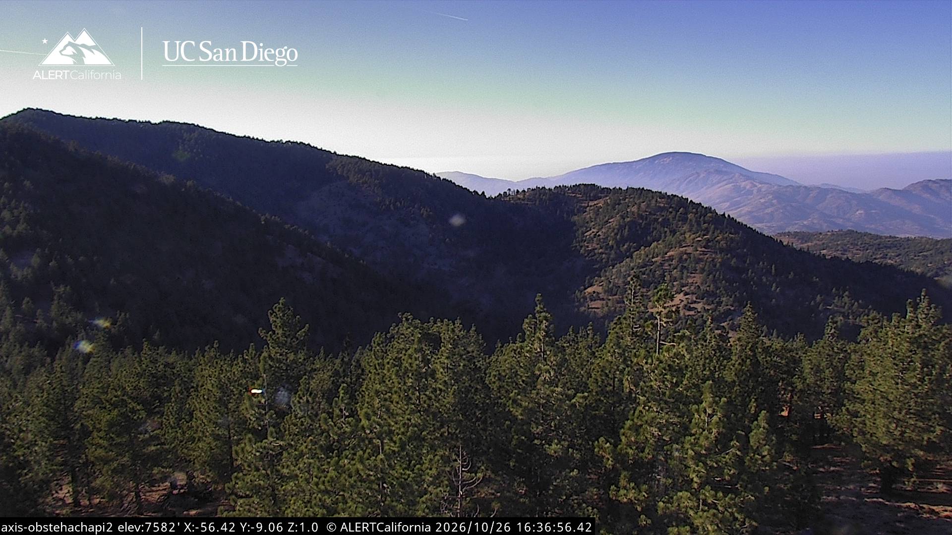
Double Mountain is the highest point in the Tehachapi Mountains of California. It has two summits of nearly the same elevation. It is south of the town of Tehachapi, Highway 58 and Tehachapi Pass. Due to its elevation, the mountain receives snowfall during the winter.
出典: Wikipedia、CC BY-SA · 記事を読む
テハチャピ山地の最高地点
山頂 · 4:00 の予報
33 °F快晴 · 北西の風 9 mph
 3D で見る
Double Mountain 山頂の天気(7,993 ft)
- 4:0033 °F北西 9 mph–
- 7:0033 °F北西 7 mph–
- 10:0050 °F西 5 mph–
- 13:0057 °F西 11 mph–
- 16:0052 °F西 14 mph–
- 19:0038 °F北西 7 mph–
- 22:0035 °F北西 7 mph–
- 1:0034 °F北西 6 mph–
| 日付 | 天気 | 最高 / 最低 | 雨 | 最大風速 |
|---|---|---|---|---|
| 今日 | 快晴 | 57 °F / 32 °F | – | 14 mph |
| 10月28日(水) | 晴れ時々曇り | 55 °F / 33 °F | – | 10 mph |
| 10月29日(木) | 晴れ | 50 °F / 35 °F | – | 6 mph |
| 10月30日(金) | 晴れ | 44 °F / 31 °F | – | 8 mph |
| 10月31日(土) | 雨 | 42 °F / 31 °F | 0.22 インチ | 4 mph |
| 11月1日(日) | 快晴 | 47 °F / 32 °F | – | 6 mph |
| 11月2日(月) | 快晴 | 51 °F / 36 °F | – | 9 mph |
MET Norway(CC BY 4.0)による予報。18:17 GMT-7 更新。時刻は現地時間です。
基本データ
- 種類
- 山
- 標高
- 7,993 ft (2,436 m)
- プロミネンス
- 3,821 ft (1,165 m)
- 山脈
- テハチャピ山地
- 最高地点となる場所
- テハチャピ山地
- 座標
- 35.033°N 118.487°W
Double Mountain (California)
Mountain in California, United States
Double Mountain is the highest point in the Tehachapi Mountains of California. It has two summits of nearly the same elevation. It is south of the town of Tehachapi, Highway 58 and Tehachapi Pass. Due to its elevation, the mountain receives snowfall during the winter.
出典: Wikipedia、CC BY-SA · 記事を読む
Double Mountain周辺の山
- Bear Mountain6,916 ft · 24 km先地図上
- Comanche Point1,073 ft · 32 km先地図上
- Burnt Peak5,791 ft · 40 km先地図上
- Brown Peak8,095 ft · 50 km先地図上
- Frazier Mountain8,017 ft · 53 km先地図上
- Cobblestone Mountain6,738 ft · 59 km先地図上
- Antimony Peak6,851 ft · 60 km先地図上
- Cummings Mountain山 · 7.8 km先地図上
- Pajuela Peak山 · 20 km先地図上
- Tecuya Mountain山 · 50 km先地図上
テハチャピ山地の最高峰
- Double Mountain7,993 ft地図上
- Bear Mountain6,916 ft地図上