Double Mountain
7993 ft2436 m
Montaña · Sierra de Tehachapi · Estados Unidos
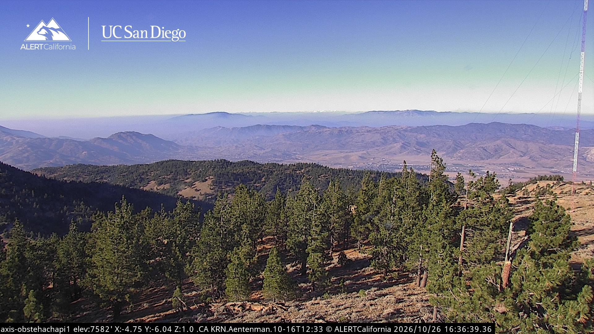
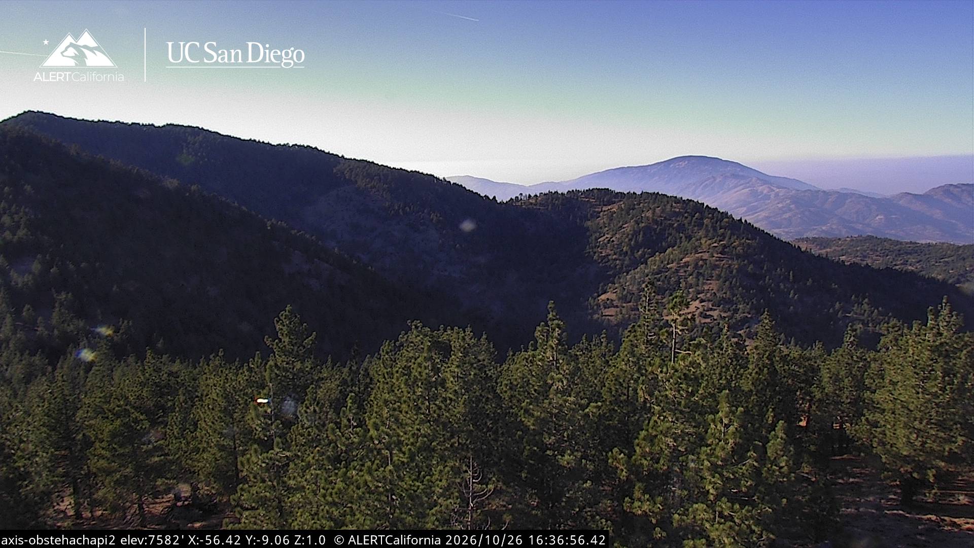
Double Mountain is the highest point in the Tehachapi Mountains of California. It has two summits of nearly the same elevation. It is south of the town of Tehachapi, Highway 58 and Tehachapi Pass. Due to its elevation, the mountain receives snowfall during the winter.
De Wikipedia, CC BY-SA · Leer el artículo
El punto más alto de Sierra de Tehachapi
En la cumbre · pronóstico para las 5:00
33 °FDespejado · viento de 9 mph del NO
 Verla en 3D
Clima en la cumbre de Double Mountain, 7993 ft
- 5:0033 °FNO 9 mph–
- 8:0036 °FNO 7 mph–
- 11:0053 °FO 6 mph–
- 14:0056 °FO 14 mph–
- 17:0049 °FO 13 mph–
- 20:0037 °FNO 7 mph–
- 23:0035 °FNO 6 mph–
- 2:0034 °FNO 6 mph–
| Día | Cielo | Máx. / mín. | Lluvia | Viento hasta |
|---|---|---|---|---|
| Hoy | Despejado | 57 °F / 32 °F | – | 14 mph |
| mié, 28 oct | Parcialmente nublado | 55 °F / 33 °F | – | 10 mph |
| jue, 29 oct | Mayormente despejado | 50 °F / 35 °F | – | 6 mph |
| vie, 30 oct | Mayormente despejado | 44 °F / 31 °F | – | 8 mph |
| sáb, 31 oct | Lluvia | 42 °F / 31 °F | 0,22 pulg. | 4 mph |
| dom, 1 nov | Despejado | 47 °F / 32 °F | – | 6 mph |
| lun, 2 nov | Despejado | 51 °F / 36 °F | – | 9 mph |
Pronóstico de MET Norway (CC BY 4.0), actualizado a las 18:17 GMT-7. Horas locales.
Ficha técnica
- Tipo
- Montaña
- Altitud sobre el nivel del mar
- 7993 ft (2436 m)
- Prominencia
- 3821 ft (1165 m)
- Cordillera
- Sierra de Tehachapi
- País
- Estados Unidos
- Punto más alto de
- Sierra de Tehachapi
- Coordenadas
- 35.033°N 118.487°W
- Fuente
- Wikidata, CC0
Double Mountain (California)
Mountain in California, United States
Double Mountain is the highest point in the Tehachapi Mountains of California. It has two summits of nearly the same elevation. It is south of the town of Tehachapi, Highway 58 and Tehachapi Pass. Due to its elevation, the mountain receives snowfall during the winter.
De Wikipedia, CC BY-SA · Leer el artículo
Picos cerca de Double Mountain
- Bear Mountain6916 ft · a 24 kmEn el mapa
- Comanche Point1073 ft · a 32 kmEn el mapa
- Burnt Peak5791 ft · a 40 kmEn el mapa
- Brown Peak8095 ft · a 50 kmEn el mapa
- Montaña Frazier8017 ft · a 53 kmEn el mapa
- Cobblestone Mountain6738 ft · a 59 kmEn el mapa
- Antimony Peak6851 ft · a 60 kmEn el mapa
- Cummings MountainMontaña · a 7,8 kmEn el mapa
- PajuelaMontaña · a 20 kmEn el mapa
- Tecuya MountainMontaña · a 50 kmEn el mapa
Los más altos de Sierra de Tehachapi
- Double Mountain7993 ftEn el mapa
- Bear Mountain6916 ftEn el mapa
Montañas más altas de Estados Unidos
- Denali20.308 ftEn el mapa
- Monte San Elías18.009 ftEn el mapa
- Monte Foraker17.402 ftEn el mapa
- Monte Bona16.535 ftEn el mapa
- Monte Blackburn16.390 ftEn el mapa
- Monte Sanford16.237 ftEn el mapa
- Monte Vancouver15.787 ftEn el mapa
- Monte Churchill15.636 ftEn el mapa
- Monte Fairweather15.325 ftEn el mapa
- Mount Hubbard14.951 ftEn el mapa