Double Mountain
7,993 英尺2,436 米
山 · 特哈查比山峰 · 美国
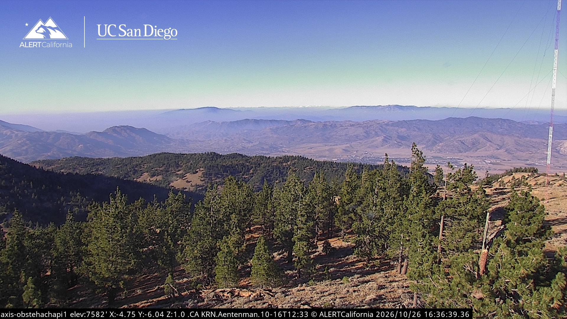
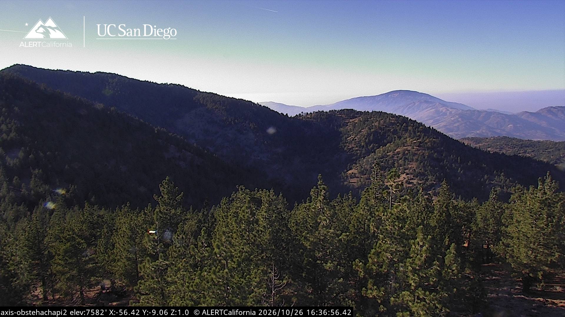
Double Mountain is the highest point in the Tehachapi Mountains of California. It has two summits of nearly the same elevation. It is south of the town of Tehachapi, Highway 58 and Tehachapi Pass. Due to its elevation, the mountain receives snowfall during the winter.
来自Wikipedia,CC BY-SA · 阅读文章
特哈查比山峰的最高点
山顶 · 21:00 的预报
36 °F晴 · 西北风 8 英里/小时
 3D 查看
Double Mountain山顶天气,7,993 英尺
- 21:0036 °F西北 8 英里/小时–
- 0:0035 °F西北 8 英里/小时–
- 3:0034 °F西北 9 英里/小时–
- 6:0032 °F西北 8 英里/小时–
- 9:0045 °F西北 6 英里/小时–
- 12:0055 °F西 8 英里/小时–
- 15:0055 °F西 14 英里/小时–
- 18:0042 °F西 10 英里/小时–
| 日期 | 天气 | 最高 / 最低 | 雨 | 最大风速 |
|---|---|---|---|---|
| 10月27日周二 | 晴 | 57 °F / 32 °F | – | 14 英里/小时 |
| 10月28日周三 | 多云 | 55 °F / 33 °F | – | 10 英里/小时 |
| 10月29日周四 | 少云 | 50 °F / 35 °F | – | 6 英里/小时 |
| 10月30日周五 | 少云 | 44 °F / 31 °F | – | 8 英里/小时 |
| 10月31日周六 | 中雨 | 42 °F / 31 °F | 0.22 英寸 | 4 英里/小时 |
| 11月1日周日 | 晴 | 47 °F / 32 °F | – | 6 英里/小时 |
| 11月2日周一 | 晴 | 51 °F / 36 °F | – | 9 英里/小时 |
预报来自 MET Norway(CC BY 4.0),更新于 GMT-7 18:17。时间均为当地时间。
基本信息
Double Mountain (California)
Mountain in California, United States
Double Mountain is the highest point in the Tehachapi Mountains of California. It has two summits of nearly the same elevation. It is south of the town of Tehachapi, Highway 58 and Tehachapi Pass. Due to its elevation, the mountain receives snowfall during the winter.
来自Wikipedia,CC BY-SA · 阅读文章
Double Mountain附近的山峰
- Bear Mountain6,916 英尺 · 24 公里外地图上
- Comanche Point1,073 英尺 · 32 公里外地图上
- Burnt Peak5,791 英尺 · 40 公里外地图上
- Brown Peak8,095 英尺 · 50 公里外地图上
- Frazier Mountain8,017 英尺 · 53 公里外地图上
- Cobblestone Mountain6,738 英尺 · 59 公里外地图上
- Antimony Peak6,851 英尺 · 60 公里外地图上
- Cummings Mountain山 · 7.8 公里外地图上
- Pajuela Peak山 · 20 公里外地图上
- Tecuya Mountain山 · 50 公里外地图上
特哈查比山峰最高峰
- Double Mountain7,993 英尺地图上
- Bear Mountain6,916 英尺地图上