Monte Sernio
2.187 m7.175 ft
Berg · Alpi Tolmezzine Orientali · Italien
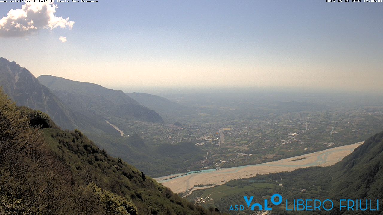
Monte Sernio is a remote mountain of the Carnic Alps, in Udine, northeast Italy, with an elevation of 2,187 m. It is located, together with the nearby Creta Grauzaria, in the mountain chain between the Incarojo Valley, near the village of Paularo, and the Aupa Valley.
Aus Wikipedia, CC BY-SA · Artikel lesen
Am Gipfel · Vorhersage für 15:00
5 °CKlar · Wind 6 km/h aus S
 In 3D ansehen
Wetter auf dem Gipfel: Monte Sernio, 2.187 m
- 15:005 °CS 6 km/h–
- 18:00-1 °CN 2 km/h–
- 21:00-4 °CNO 4 km/h–
- 0:00-6 °CNO 4 km/h–
- 3:00-6 °CNO 5 km/h–
- 6:00-7 °CN 7 km/h–
- 9:002 °CN 7 km/h–
- 12:008 °CNO 5 km/h–
| Tag | Himmel | Max. / Min. | Regen | Wind bis |
|---|---|---|---|---|
| Mi., 28. Okt. | Bewölkt | 9 °C / -7 °C | 0,3 mm | 9 km/h |
| Do., 29. Okt. | Teilweise bewölkt | 6 °C / -6 °C | – | 10 km/h |
| Fr., 30. Okt. | Klar | 5 °C / -8 °C | – | 10 km/h |
| Sa., 31. Okt. | Klar | 4 °C / -7 °C | – | 10 km/h |
| So., 1. Nov. | Klar | 5 °C / -8 °C | – | 10 km/h |
| Mo., 2. Nov. | Klar | 6 °C / -7 °C | – | 9 km/h |
| Di., 3. Nov. | Bewölkt | 6 °C / -8 °C | – | 7 km/h |
Vorhersage von MET Norway (CC BY 4.0), aktualisiert um 06:20 MEZ. Zeiten in Ortszeit.
Fakten
- Art
- Berg
- Höhe über dem Meer
- 2.187 m (7.175 ft)
- Schartenhöhe
- 941 m (3.087 ft)
- Gebirge
- Alpi Tolmezzine Orientali
- Land
- Italien
- Koordinaten
- 46.475°N 13.138°E
- Quelle
- Wikidata, CC0
Monte Sernio
Mountain in Italy
Monte Sernio is a remote mountain of the Carnic Alps, in Udine, northeast Italy, with an elevation of 2,187 m. It is located, together with the nearby Creta Grauzaria, in the mountain chain between the Incarojo Valley, near the village of Paularo, and the Aupa Valley. It was first climbed in 1879 by sisters Minetta and Annina Grassi.
Aus Wikipedia, CC BY-SA · Artikel lesen
Gipfel nahe Monte Sernio
- Trogkofel2.279 m · 12 km entferntAuf der Karte
- Gartnerkofel2.195 m · 17 km entferntAuf der Karte
- Monte Zoncolan1.750 m · 17 km entferntAuf der Karte
- Montasch2.754 m · 23 km entferntAuf der Karte
- Monte Crostis2.251 m · 23 km entferntAuf der Karte
- Reißkofel2.371 m · 23 km entferntAuf der Karte
- Kellerspitzen2.774 m · 24 km entferntAuf der Karte
- Hohe Warte2.780 m · 24 km entferntAuf der Karte
- Großer Kanin2.587 m · 26 km entferntAuf der Karte
- Jôf Fuart2.666 m · 28 km entferntAuf der Karte
Die höchsten: Alpi Tolmezzine Orientali
- mountain-40248882.195 mAuf der Karte
- Monte Sernio2.187 mAuf der Karte
- Creta Grauzaria2.065 mAuf der Karte
- Monte Amariana1.906 mAuf der Karte
Höchste Berge in Italien
- Mont Blanc4.806 mAuf der Karte
- Liskamm4.532 mAuf der Karte
- Matterhorn4.478 mAuf der Karte
- Pointe Walker4.208 mAuf der Karte
- Grandes Jorasses4.208 mAuf der Karte
- Dent d’Hérens4.173 mAuf der Karte
- Breithorn4.160 mAuf der Karte
- Monte Sernio2.187 mAuf der Karte