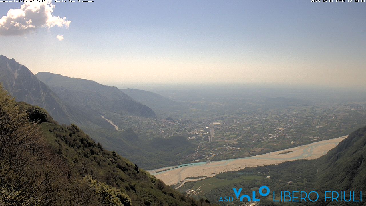
Monte Sernio
2,187 m7,175 ft
山 · Eastern Tolmezzo Alps · イタリア
Monte Sernio is a remote mountain of the Carnic Alps, in Udine, northeast Italy, with an elevation of 2,187 m. It is located, together with the nearby Creta Grauzaria, in the mountain chain between the Incarojo Valley, near the village of Paularo, and the Aupa Valley.
出典: Wikipedia、CC BY-SA · 記事を読む
山頂 · 20:00 の予報
1 °C曇り · 北の風 6 km/h
 3D で見る
Monte Sernio 山頂の天気(2,187 m)
- 20:001 °C北 6 km/h–
- 23:00-1 °C北 6 km/h–
- 2:00-4 °C北 8 km/h–
- 5:00-5 °C北 9 km/h–
- 8:00-3 °C北 10 km/h–
- 11:004 °C北 10 km/h–
- 14:005 °C北東 7 km/h–
- 17:001 °C北東 5 km/h–
| 日付 | 天気 | 最高 / 最低 | 雨 | 最大風速 |
|---|---|---|---|---|
| 10月29日(木) | 快晴 | 5 °C / -6 °C | – | 10 km/h |
| 10月30日(金) | 快晴 | 4 °C / -8 °C | – | 11 km/h |
| 10月31日(土) | 快晴 | 4 °C / -8 °C | – | 10 km/h |
| 11月1日(日) | 晴れ時々曇り | 1 °C / -8 °C | – | 8 km/h |
| 11月2日(月) | 晴れ時々曇り | -0 °C / -9 °C | – | 14 km/h |
| 11月3日(火) | 晴れ | 1 °C / -8 °C | – | 17 km/h |
| 11月4日(水) | 晴れ時々曇り | 2 °C / -9 °C | – | 9 km/h |
MET Norway(CC BY 4.0)による予報。02:17 GMT+1 更新。時刻は現地時間です。
基本データ
- 種類
- 山
- 標高
- 2,187 m (7,175 ft)
- プロミネンス
- 941 m (3,087 ft)
- 山脈
- Eastern Tolmezzo Alps
- 国
- イタリア
- 座標
- 46.475°N 13.138°E
Monte Sernio
Mountain in Italy
Monte Sernio is a remote mountain of the Carnic Alps, in Udine, northeast Italy, with an elevation of 2,187 m. It is located, together with the nearby Creta Grauzaria, in the mountain chain between the Incarojo Valley, near the village of Paularo, and the Aupa Valley. It was first climbed in 1879 by sisters Minetta and Annina Grassi.
出典: Wikipedia、CC BY-SA · 記事を読む
Monte Sernio周辺の山
Eastern Tolmezzo Alpsの最高峰
- mountain-40248882,195 m地図上
- Monte Sernio2,187 m地図上
- Creta Grauzaria2,065 m地図上
- Monte Amariana1,906 m地図上