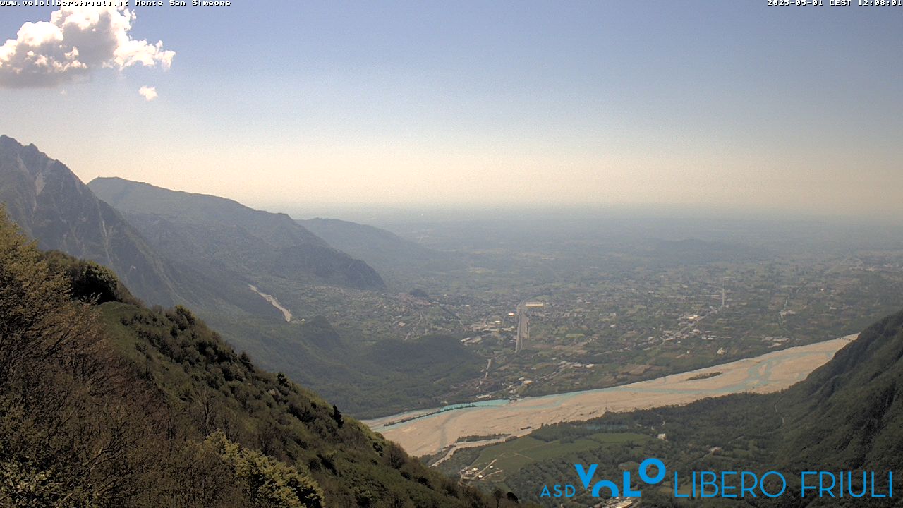
Monte Sernio
2187 m7175 ft
Montaña · Eastern Tolmezzo Alps · Italia
Monte Sernio is a remote mountain of the Carnic Alps, in Udine, northeast Italy, with an elevation of 2,187 m. It is located, together with the nearby Creta Grauzaria, in the mountain chain between the Incarojo Valley, near the village of Paularo, and the Aupa Valley.
De Wikipedia, CC BY-SA · Leer el artículo
En la cumbre · pronóstico para las 20:00
-3 °CDespejado · viento de 3 km/h del NE
 Verla en 3D
Clima en la cumbre de Monte Sernio, 2187 m
- 20:00-3 °CNE 3 km/h–
- 23:00-5 °CNE 4 km/h–
- 2:00-6 °CNE 5 km/h–
- 5:00-7 °CN 6 km/h–
- 8:00-3 °CN 8 km/h–
- 11:007 °CN 4 km/h–
- 14:009 °CNE 6 km/h–
- 17:004 °CNE 3 km/h–
| Día | Cielo | Máx. / mín. | Lluvia | Viento hasta |
|---|---|---|---|---|
| mié, 28 oct | Nublado | 9 °C / -7 °C | – | 8 km/h |
| jue, 29 oct | Parcialmente nublado | 5 °C / -7 °C | – | 10 km/h |
| vie, 30 oct | Despejado | 4 °C / -8 °C | – | 10 km/h |
| sáb, 31 oct | Despejado | 5 °C / -9 °C | – | 10 km/h |
| dom, 1 nov | Despejado | 1 °C / -8 °C | – | 9 km/h |
| lun, 2 nov | Mayormente despejado | 1 °C / -9 °C | – | 6 km/h |
| mar, 3 nov | Parcialmente nublado | 2 °C / -8 °C | 0,1 mm | 6 km/h |
Pronóstico de MET Norway (CC BY 4.0), actualizado a las 14:17 CET. Horas locales.
Ficha técnica
- Tipo
- Montaña
- Altitud sobre el nivel del mar
- 2187 m (7175 ft)
- Prominencia
- 941 m (3087 ft)
- Cordillera
- Eastern Tolmezzo Alps
- País
- Italia
- Coordenadas
- 46.475°N 13.138°E
- Fuente
- Wikidata, CC0
Monte Sernio
Mountain in Italy
Monte Sernio is a remote mountain of the Carnic Alps, in Udine, northeast Italy, with an elevation of 2,187 m. It is located, together with the nearby Creta Grauzaria, in the mountain chain between the Incarojo Valley, near the village of Paularo, and the Aupa Valley. It was first climbed in 1879 by sisters Minetta and Annina Grassi.
De Wikipedia, CC BY-SA · Leer el artículo
Picos cerca de Monte Sernio
- Trogkofel2279 m · a 12 kmEn el mapa
- Gartnerkofel2195 m · a 17 kmEn el mapa
- Monte Zoncolan1750 m · a 17 kmEn el mapa
- Jôf di Montasio2754 m · a 23 kmEn el mapa
- Monte Crostis2251 m · a 23 kmEn el mapa
- Reißkofel2371 m · a 23 kmEn el mapa
- Kellerspitzen2774 m · a 24 kmEn el mapa
- Coglians2780 m · a 24 kmEn el mapa
- Kanin2587 m · a 26 kmEn el mapa
- Jôf Fuart2666 m · a 28 kmEn el mapa
Los más altos de Eastern Tolmezzo Alps
- mountain-40248882195 mEn el mapa
- Monte Sernio2187 mEn el mapa
- Creta Grauzaria2065 mEn el mapa
- Monte Amariana1906 mEn el mapa
Montañas más altas de Italia
- Mont Blanc4806 mEn el mapa
- Liskamm4532 mEn el mapa
- Cervino4478 mEn el mapa
- Punta Walker4208 mEn el mapa
- Grandes Jorasses4208 mEn el mapa
- Dent d'Hérens4173 mEn el mapa
- Breithorn4160 mEn el mapa
- Monte Sernio2187 mEn el mapa