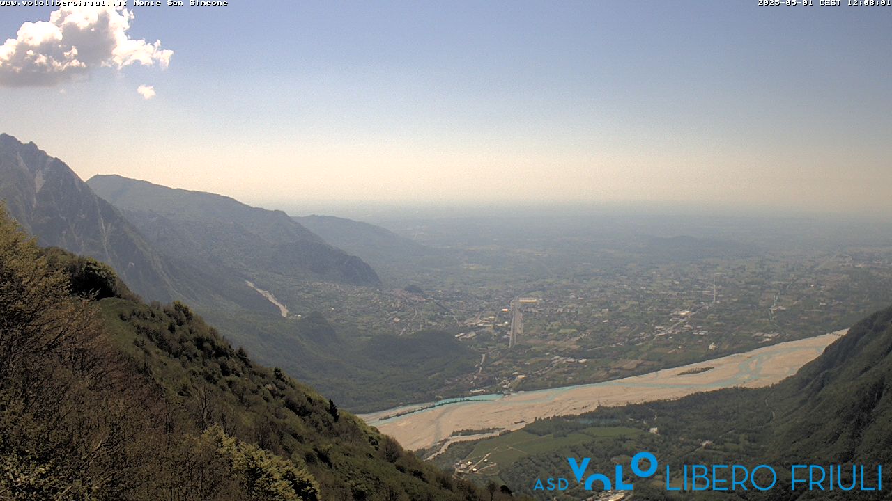
Monte Sernio
2,187 m7,175 ft
Mountain · Eastern Tolmezzo Alps · Italy
Monte Sernio is a remote mountain of the Carnic Alps, in Udine, northeast Italy, with an elevation of 2,187 m. It is located, together with the nearby Creta Grauzaria, in the mountain chain between the Incarojo Valley, near the village of Paularo, and the Aupa Valley.
From Wikipedia, CC BY-SA · Read the article
At the summit · forecast for 3:00 PM
5 °CClear · wind 6 km/h from the SW
 See it in 3D
Weather at the summit of Monte Sernio, 2,187 m
- 3:00 PM5 °CSW 6 km/h–
- 6:00 PM-1 °CN 2 km/h–
- 9:00 PM-4 °CNE 3 km/h–
- 12:00 AM-6 °CNE 5 km/h–
- 3:00 AM-6 °CNE 5 km/h–
- 6:00 AM-7 °CN 7 km/h–
- 9:00 AM1 °CN 7 km/h–
- 12:00 PM9 °CNE 4 km/h–
| Day | Sky | High / low | Rain | Wind up to |
|---|---|---|---|---|
| Wed, Oct 28 | Cloudy | 9 °C / -7 °C | – | 8 km/h |
| Thu, Oct 29 | Partly cloudy | 5 °C / -7 °C | – | 10 km/h |
| Fri, Oct 30 | Clear | 4 °C / -8 °C | – | 10 km/h |
| Sat, Oct 31 | Clear | 5 °C / -9 °C | – | 10 km/h |
| Sun, Nov 1 | Clear | 1 °C / -8 °C | – | 9 km/h |
| Mon, Nov 2 | Mostly clear | 1 °C / -9 °C | – | 6 km/h |
| Tue, Nov 3 | Partly cloudy | 2 °C / -8 °C | 0.1 mm | 6 km/h |
Forecast by MET Norway (CC BY 4.0), updated 02:17 PM GMT+1. Times are local.
Facts
- What it is
- Mountain
- Height above sea level
- 2,187 m (7,175 ft)
- Prominence
- 941 m (3,087 ft)
- Range
- Eastern Tolmezzo Alps
- Country
- Italy
- Coordinates
- 46.475°N 13.138°E
- Source
- Wikidata, CC0
Monte Sernio
Mountain in Italy
Monte Sernio is a remote mountain of the Carnic Alps, in Udine, northeast Italy, with an elevation of 2,187 m. It is located, together with the nearby Creta Grauzaria, in the mountain chain between the Incarojo Valley, near the village of Paularo, and the Aupa Valley. It was first climbed in 1879 by sisters Minetta and Annina Grassi.
From Wikipedia, CC BY-SA · Read the article
Peaks near Monte Sernio
- Trogkofel2,279 m · 12 km awayOn the map
- Gartnerkofel2,195 m · 17 km awayOn the map
- Monte Zoncolan1,750 m · 17 km awayOn the map
- Jôf di Montasio2,754 m · 23 km awayOn the map
- Monte Crostis2,251 m · 23 km awayOn the map
- Reißkofel2,371 m · 23 km awayOn the map
- Kellerspitzen2,774 m · 24 km awayOn the map
- Coglians2,780 m · 24 km awayOn the map
- Kanin2,587 m · 26 km awayOn the map
- Jôf Fuart2,666 m · 28 km awayOn the map
Highest in the Eastern Tolmezzo Alps
- mountain-40248882,195 mOn the map
- Monte Sernio2,187 mOn the map
- Creta Grauzaria2,065 mOn the map
- Monte Amariana1,906 mOn the map
Highest mountains in Italy
- Mont Blanc4,806 mOn the map
- Lyskamm4,532 mOn the map
- Matterhorn4,478 mOn the map
- Pointe Walker4,208 mOn the map
- Grandes Jorasses4,208 mOn the map
- Dent d'Hérens4,173 mOn the map
- Breithorn4,160 mOn the map
- Monte Sernio2,187 mOn the map