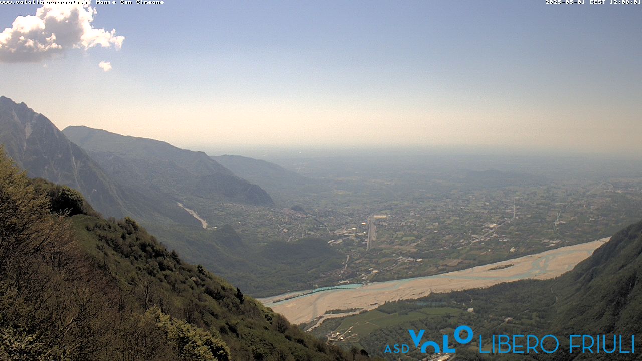
Mountains in Italy
Creta Grauzaria
2,065 m6,775 ft
Mountain · Eastern Tolmezzo Alps · Italy
At the summit · forecast for 7:00 PM
-1 °CClear · wind 2 km/h from the NE
 See it in 3D
Weather at the summit of Creta Grauzaria, 2,065 m
- 7:00 PM-1 °CNE 2 km/h–
- 10:00 PM-4 °CNE 4 km/h–
- 1:00 AM-5 °CNE 5 km/h–
- 4:00 AM-6 °CNE 6 km/h–
- 7:00 AM-6 °CNE 7 km/h–
- 10:00 AM6 °CN 5 km/h–
- 1:00 PM9 °CN 6 km/h–
- 4:00 PM7 °CNE 3 km/h–
| Day | Sky | High / low | Rain | Wind up to |
|---|---|---|---|---|
| Wed, Oct 28 | Cloudy | 9 °C / -6 °C | – | 8 km/h |
| Thu, Oct 29 | Cloudy | 5 °C / -6 °C | – | 10 km/h |
| Fri, Oct 30 | Clear | 5 °C / -7 °C | – | 10 km/h |
| Sat, Oct 31 | Clear | 5 °C / -7 °C | – | 9 km/h |
| Sun, Nov 1 | Clear | 2 °C / -7 °C | – | 8 km/h |
| Mon, Nov 2 | Partly cloudy | 2 °C / -9 °C | – | 6 km/h |
| Tue, Nov 3 | Partly cloudy | 3 °C / -7 °C | 0.1 mm | 6 km/h |
Forecast by MET Norway (CC BY 4.0), updated 06:17 PM GMT+1. Times are local.
Facts
- What it is
- Mountain
- Height above sea level
- 2,065 m (6,775 ft)
- Range
- Eastern Tolmezzo Alps
- Country
- Italy
- Coordinates
- 46.467°N 13.162°E
- Source
- Wikidata, CC0
Peaks near Creta Grauzaria
- Monte Sernio2,187 m · 2.1 km awayOn the map
- Trogkofel2,279 m · 12 km awayOn the map
- Gartnerkofel2,195 m · 16 km awayOn the map
- Monte Zoncolan1,750 m · 19 km awayOn the map
- Jôf di Montasio2,754 m · 21 km awayOn the map
- Reißkofel2,371 m · 24 km awayOn the map
- Kanin2,587 m · 24 km awayOn the map
- Monte Crostis2,251 m · 25 km awayOn the map
- Kellerspitzen2,774 m · 26 km awayOn the map
- Jôf Fuart2,666 m · 26 km awayOn the map
Highest in the Eastern Tolmezzo Alps
- mountain-40248882,195 mOn the map
- Monte Sernio2,187 mOn the map
- Creta Grauzaria2,065 mOn the map
- Monte Amariana1,906 mOn the map
Highest mountains in Italy
- Mont Blanc4,806 mOn the map
- Lyskamm4,532 mOn the map
- Matterhorn4,478 mOn the map
- Pointe Walker4,208 mOn the map
- Grandes Jorasses4,208 mOn the map
- Dent d'Hérens4,173 mOn the map
- Breithorn4,160 mOn the map
- Creta Grauzaria2,065 mOn the map