 See it in 3D
Facts
- What it is
- Mountain
- Height above sea level
- 1,750 m (5,741 ft)
- Range
- Eastern Tolmezzo Alps
- Country
- Italy
- Coordinates
- 46.500°N 12.917°E
- Source
- Wikidata, CC0
Peaks near Monte Zoncolan
- Monte Crostis2,251 m · 11 km awayOn the map
- Coglians2,780 m · 12 km awayOn the map
- Kellerspitzen2,774 m · 12 km awayOn the map
- Creta Forata2,462 m · 15 km awayOn the map
- Monte Sernio2,187 m · 17 km awayOn the map
- Monte Chiadenis2,459 m · 20 km awayOn the map
- Peralba2,694 m · 21 km awayOn the map
- Monte Bìvera2,474 m · 22 km awayOn the map
- Trogkofel2,279 m · 24 km awayOn the map
- Monte Brentoni2,545 m · 27 km awayOn the map
Highest in the Eastern Tolmezzo Alps
- mountain-40248882,195 mOn the map
- Monte Sernio2,187 mOn the map
- Creta Grauzaria2,065 mOn the map
- Monte Amariana1,906 mOn the map
- Monte Zoncolan1,750 mOn the map
Highest mountains in Italy
- Mont Blanc4,806 mOn the map
- Lyskamm4,532 mOn the map
- Matterhorn4,478 mOn the map
- Pointe Walker4,208 mOn the map
- Grandes Jorasses4,208 mOn the map
- Dent d'Hérens4,173 mOn the map
- Breithorn4,160 mOn the map
- Monte Zoncolan1,750 mOn the map
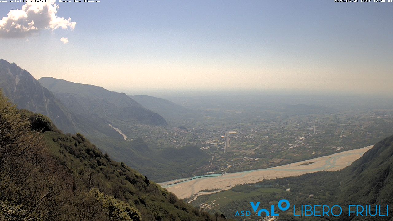
Webcams near Monte Zoncolan



History around Monte Zoncolan
- Operation Ataman1944