Pico Blanco
Berg · Vereinigte Staaten
Pico Blanco is a peak on the coast of Big Sur in the Santa Lucia Range of the Los Padres National Forest. The Little Sur River and its tributaries almost surround the mountain.
Aus Wikipedia, CC BY-SA · Artikel lesen
Am Gipfel · Vorhersage für 12:00
58 °FTeilweise bewölkt · Wind 22 mph aus NW
 In 3D ansehen
Wettervorhersage für Pico Blanco
- 12:0058 °FNW 22 mph–
- 15:0057 °FNW 22 mph–
- 18:0052 °FN 21 mph–
- 21:0051 °FN 21 mph–
- 0:0049 °FN 17 mph–
- 3:0045 °FNO 14 mph–
- 6:0045 °FNO 11 mph–
- 9:0056 °FN 11 mph–
| Tag | Himmel | Max. / Min. | Regen | Wind bis |
|---|---|---|---|---|
| Heute | Teilweise bewölkt | 58 °F / 50 °F | – | 23 mph |
| Mi., 28. Okt. | Teilweise bewölkt | 64 °F / 45 °F | – | 17 mph |
| Do., 29. Okt. | Teilweise bewölkt | 62 °F / 52 °F | – | 13 mph |
| Fr., 30. Okt. | Klar | 60 °F / 49 °F | 0,01 in | 9 mph |
| Sa., 31. Okt. | Bewölkt | 58 °F / 48 °F | 0,01 in | 8 mph |
| So., 1. Nov. | Klar | 62 °F / 45 °F | – | 11 mph |
| Mo., 2. Nov. | Teilweise bewölkt | 66 °F / 47 °F | – | 4 mph |
Vorhersage von MET Norway (CC BY 4.0), aktualisiert um 10:17 GMT-7. Zeiten in Ortszeit.
Fakten
- Art
- Berg
- Koordinaten
- 36.319°N 121.812°W
- Quelle
- Wikidata, CC0
Pico Blanco
Landform in Monterey County, California
Pico Blanco is a peak on the coast of Big Sur in the Santa Lucia Range of the Los Padres National Forest. The Little Sur River and its tributaries almost surround the mountain. The North Fork wraps around the northern flank and eastern edge of the mountain, and the South Fork crosses the mountain to the west and south-west. The mountain is known for an extremely high-grade limestone deposit.
Aus Wikipedia, CC BY-SA · Artikel lesen
Gipfel nahe Pico Blanco
- Ventana Double Cone4.856 ft · 9 km entferntAuf der Karte
- Junipero Serra Peak5.857 ft · 40 km entferntAuf der Karte
- Fremont Peak3.173 ft · 56 km entferntAuf der Karte
- Mount ToroBerg · 29 km entferntAuf der Karte
- Cone PeakBerg · 41 km entferntAuf der Karte
- North Chalone PeakBerg · 57 km entferntAuf der Karte
Höchste Berge in Vereinigte Staaten
- Denali20.308 ftAuf der Karte
- Mount Saint Elias18.009 ftAuf der Karte
- Mount Foraker17.402 ftAuf der Karte
- Mount Bona16.535 ftAuf der Karte
- Mount Blackburn16.390 ftAuf der Karte
- Mount Sanford16.237 ftAuf der Karte
- Mount Vancouver15.787 ftAuf der Karte
- Mount Churchill15.636 ftAuf der Karte
- Mount Fairweather15.325 ftAuf der Karte
- Mount Hubbard14.951 ftAuf der Karte
Webcams nahe Pico Blanco
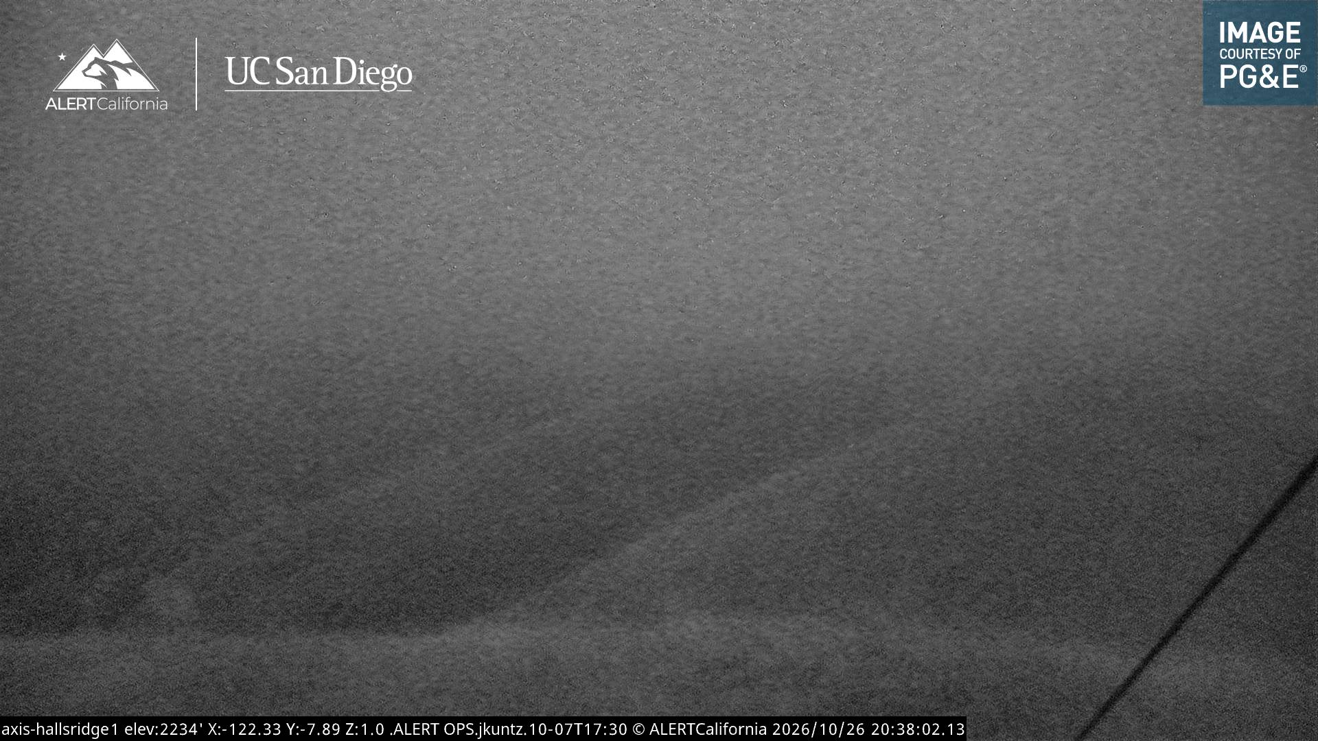
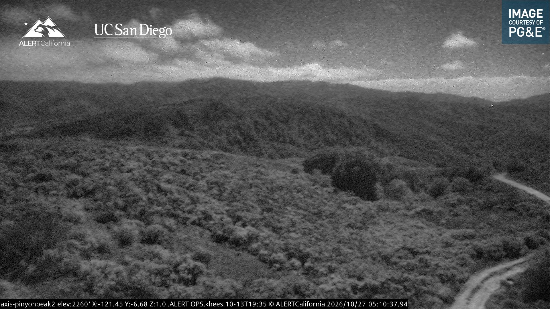
Geschichte rund um Pico Blanco
- Colorado Fire2022
Orte nahe Pico Blanco
- Carmel-by-the-Sea28 km entfernt
- Del Rey Oaks30 km entfernt
- Monterey32 km entfernt
- Seaside33 km entfernt
- Sand City34 km entfernt
- Pacific Grove35 km entfernt