Pico Blanco
Mountain · United States
Pico Blanco is a peak on the coast of Big Sur in the Santa Lucia Range of the Los Padres National Forest. The Little Sur River and its tributaries almost surround the mountain.
From Wikipedia, CC BY-SA · Read the article
At the summit · forecast for 5:00 AM
50 °FFog · wind 22 mph from the N
 See it in 3D
Pico Blanco weather forecast
- 5:00 AM50 °FN 22 mph–
- 8:00 AM47 °FN 21 mph–
- 11:00 AM57 °FNW 21 mph–
- 2:00 PM58 °FNW 23 mph–
- 5:00 PM55 °FN 22 mph–
- 8:00 PM52 °FN 22 mph–
- 11:00 PM50 °FN 19 mph–
- 2:00 AM46 °FNE 16 mph–
| Day | Sky | High / low | Rain | Wind up to |
|---|---|---|---|---|
| Today | Partly cloudy | 58 °F / 47 °F | – | 23 mph |
| Wed, Oct 28 | Partly cloudy | 64 °F / 45 °F | – | 18 mph |
| Thu, Oct 29 | Mostly clear | 62 °F / 51 °F | – | 12 mph |
| Fri, Oct 30 | Clear | 59 °F / 46 °F | – | 11 mph |
| Sat, Oct 31 | Mostly clear | 60 °F / 44 °F | – | 10 mph |
| Sun, Nov 1 | Clear | 63 °F / 44 °F | – | 8 mph |
| Mon, Nov 2 | Clear | 70 °F / 51 °F | – | 2 mph |
Forecast by MET Norway (CC BY 4.0), updated 02:21 AM PDT. Times are local.
Facts
- What it is
- Mountain
- Country
- United States
- Coordinates
- 36.319°N 121.812°W
- Source
- Wikidata, CC0
Pico Blanco
Landform in Monterey County, California
Pico Blanco is a peak on the coast of Big Sur in the Santa Lucia Range of the Los Padres National Forest. The Little Sur River and its tributaries almost surround the mountain. The North Fork wraps around the northern flank and eastern edge of the mountain, and the South Fork crosses the mountain to the west and south-west. The mountain is known for an extremely high-grade limestone deposit.
From Wikipedia, CC BY-SA · Read the article
Peaks near Pico Blanco
- Ventana Double Cone4,856 ft · 9 km awayOn the map
- Junipero Serra Peak5,857 ft · 40 km awayOn the map
- Fremont Peak3,173 ft · 56 km awayOn the map
- Mount ToroMountain · 29 km awayOn the map
- Cone PeakMountain · 41 km awayOn the map
- North Chalone PeakMountain · 57 km awayOn the map
Highest mountains in United States
- Denali20,308 ftOn the map
- Mount Saint Elias18,009 ftOn the map
- Mount Foraker17,402 ftOn the map
- Mount Bona16,535 ftOn the map
- Mount Blackburn16,390 ftOn the map
- Mount Sanford16,237 ftOn the map
- Mount Vancouver15,787 ftOn the map
- Mount Churchill15,636 ftOn the map
- Mount Fairweather15,325 ftOn the map
- Mount Hubbard14,951 ftOn the map
Webcams near Pico Blanco
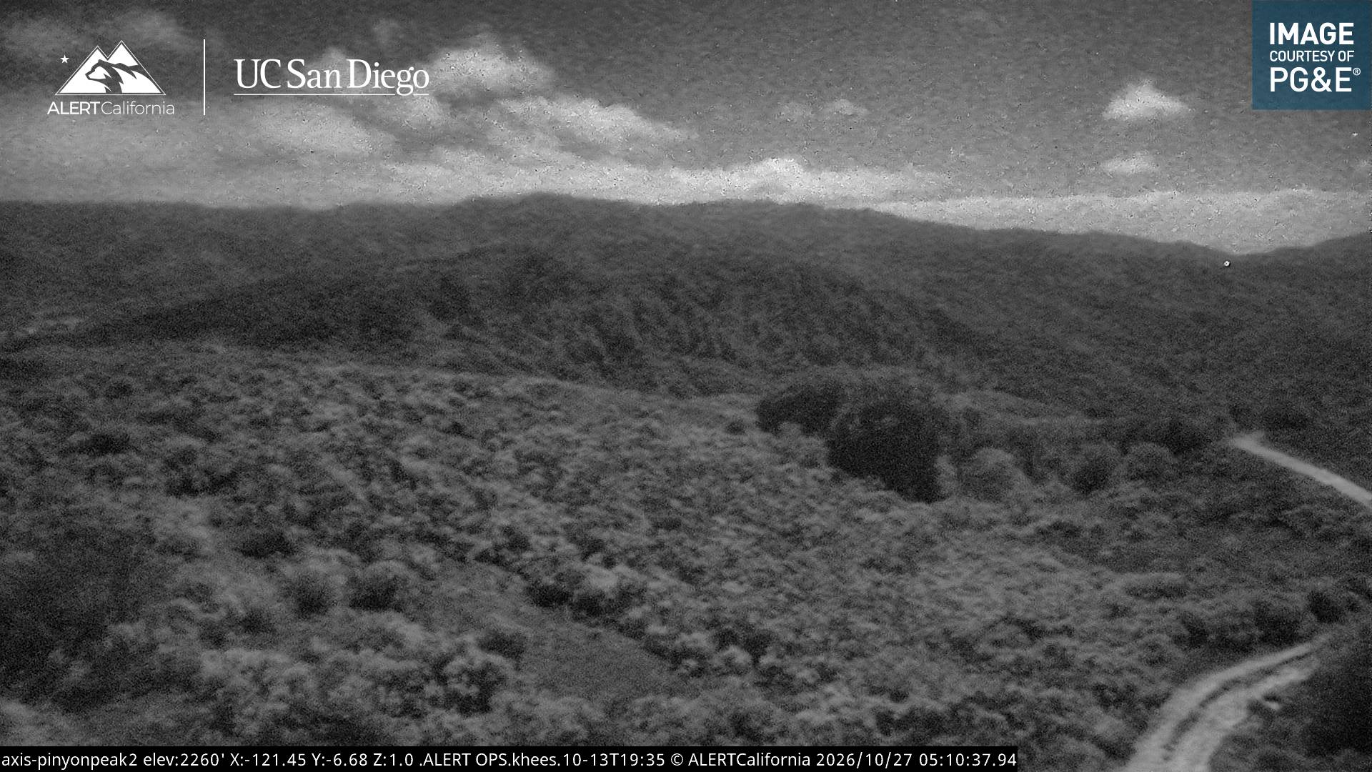
History around Pico Blanco
- Colorado Fire2022
Towns near Pico Blanco
- Carmel-by-the-Sea28 km away
- Del Rey Oaks30 km away
- Monterey32 km away
- Seaside33 km away
- Sand City34 km away
- Pacific Grove35 km away